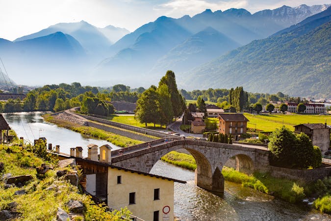
8 routes · Mountain Biking
Valtellina E-bike festival
Mountain Biking Severe

This is a popular mountain biking route which is generally considered to be severe. It's remote, it features high exposure and is typically done between May and October. From a low point of 228 m to the maximum altitude of 1.3 km, the route covers 32 km, 1822 vertical metres of ascent and 1819 vertical metres of descent.
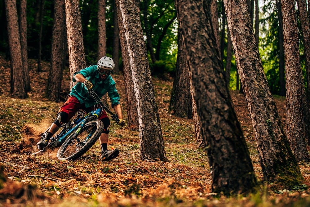
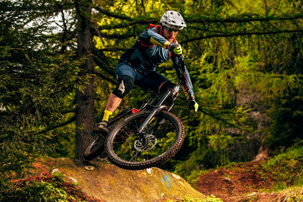
An exciting track with a total of 1000 meters of negative altitude difference on natural and very technical single trails. A true alpine enduro with paths through woods and clearings on an earthy bottom with roots and rocky passages.
Severe
Widely variable, narrow trail tread with steeper grades and unavoidable obstacles of 15in/38cm tall or less. Obstacles may include unavoidable bridges 24in/61cm wide or less, large rocks, gravel, difficult root sections, and more. Ideal for advanced-level riders.

Some trail sections have exposed ledges or steep ascents/descents where falling could cause serious injury.

Away from help but easily accessed.
8 routes · Mountain Biking