8 routes · Mountain Biking
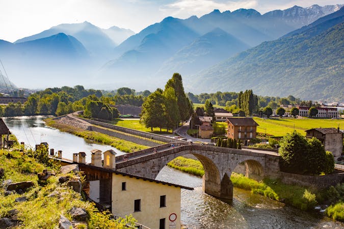
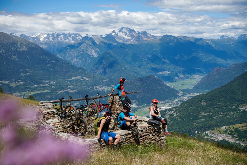
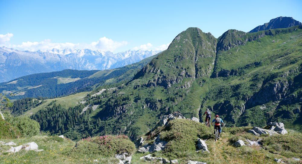
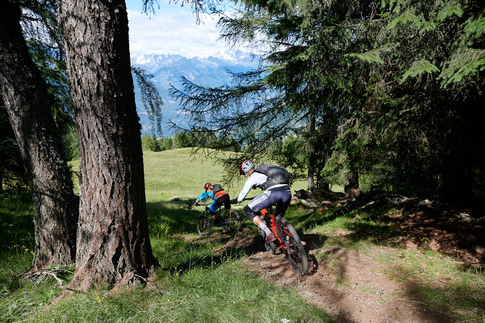
Valtellina E-bike Festival
Mountain Biking Moderate

This is a popular mountain biking route which is generally considered to be moderate. It's not remote, it features low exposure and is typically done between May and October. From a low point of 958 m to the maximum altitude of 1.9 km, the route covers 21 km, 1010 vertical metres of ascent and 1015 vertical metres of descent.
An easy tour suitable for everyone to discover the natural beauty of the Orobie Park and the Gerola Valley. We are in the mountain pastures where Bitto is produced, a cheese declared a Slow-Food Presidium whose particular processing is lost in the mists of time.
Moderate
Mostly stable trail tread with some variability, with unavoidable obstacles 8in/20cm tall or less. Other obstacles such as rock gullies and steep sections may exist. Ideal for lower intermediate riders.

The path is on completely flat land and potential injury is limited to falling over.
Close to help in case of emergency.
8 routes · Mountain Biking