8 routes · Mountain Biking
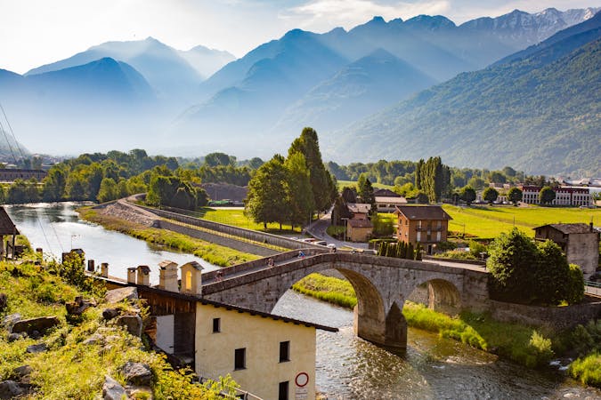
Valtellina E-bike festival
Mountain Biking Easy

This is a popular mountain biking route which is generally considered to be easy. It's not remote, it features low exposure and is typically done between May and October. From a low point of 1.1 km to the maximum altitude of 1.5 km, the route covers 18 km, 619 vertical metres of ascent and 620 vertical metres of descent.
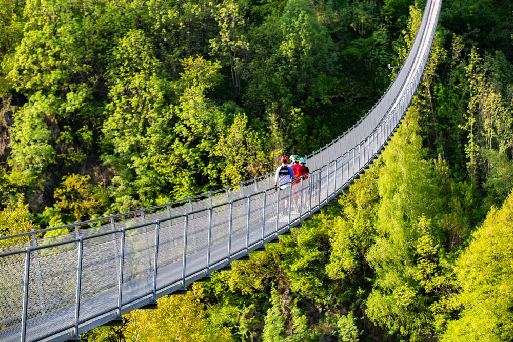
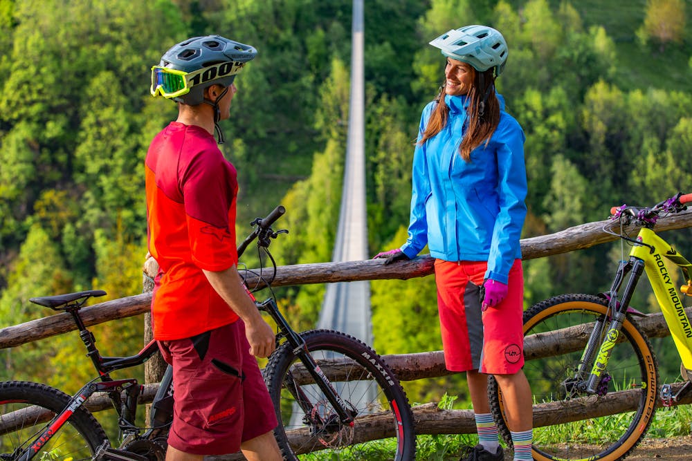
An easy and suitable tour for everyone to discover the ancestral magic of the Tartano Valley and the Ponte nel Cielo which, built over an impressive 140m cliff, is the highest Tibetan bridge in Europe!
Easy
Mostly smooth and non-technical singletrack with unavoidable obstacles 2in/5cm tall or less. Avoidable obstacles may be present. Ideal for beginner riders.

The path is on completely flat land and potential injury is limited to falling over.
Close to help in case of emergency.
8 routes · Mountain Biking