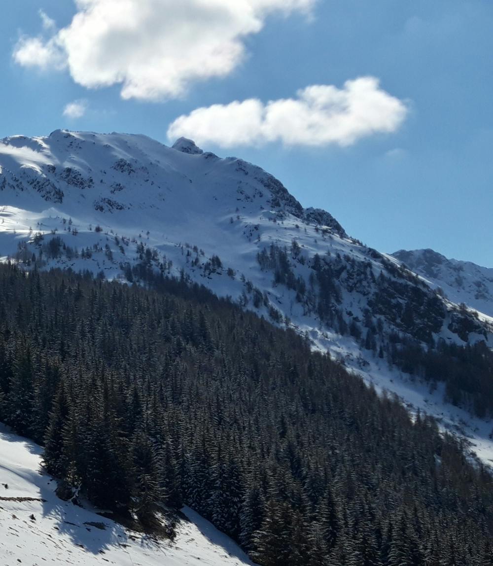
Canalone N / O Monte Filone
Aprica
canale che scende dal versante N/O del Monte Filone sopra la Magnolta
Ski Touring Moderate
- Distance
- 2 km
- Ascent
- 204 m
- Descent
- 453 m
- Duration
- 1-2 hrs
- Low Point
- 1.9 km
- High Point
- 2.4 km
- Gradient
- 43˚

This is a popular ski touring route which is generally considered to be moderate. It's not remote, it features medium exposure (e2) and is typically done between March and May. From a low point of 1.9 km to the maximum altitude of 2.4 km, the route covers 2 km, 204 vertical metres of ascent and 453 vertical metres of descent. It's graded 1.3 and Labande grade 2. You'll need skins, ice axe and crampons to complete it safely.
Description
Tramite le piste arrivare fino al lago palabione, da li raggiungere il passo (dove parte la traccia) e proseguire per la cresta (da percorrere a piedi) fino all'imbocco del canale
Difficulty
Moderate
Slopes become slightly steeper at around 25-30 degrees.
Medium Exposure (E2)

As well as the slope itself, there are some obstacles (such as rock outcrops) which could aggravate injury.
Remoteness

Close to help in case of emergency.
Best time to visit
Features
- Alpine
- Cliffs
- Couloir
- Single Descent
- Ski Mountaineering
Equipment required
- Skins
- Ice axe
- Crampons