1.9 km away
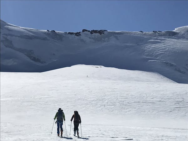
Ortler Ski Tour: Pizzo Tresero from the Branca Hut
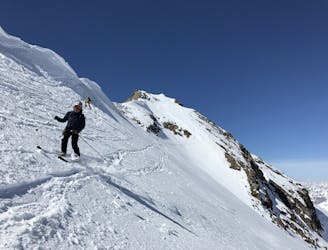
Day 4: A fine ski peak with a beautiful descent
Difficult Ski Touring
- Distance
- 11 km
- Ascent
- 1.3 km
- Descent
- 1.4 km
scialpinistica alla Cima di Pejo con tratti alpinistici
Ski Touring Difficult

This is a popular ski touring route which is generally considered to be difficult. It's very remote, it features medium exposure (e2) and is typically done between March and May. From a low point of 2.2 km to the maximum altitude of 3.5 km, the route covers 8.3 km, 1422 vertical metres of ascent and 33 vertical metres of descent. It's graded 3.2 and Labande grade 3. You'll need skins, ice axe, crampons and glacier kit to complete it safely.
scialpinistica alla cima di pejo attraverso il ghiacciaio dei forni poi salita per il canale che dà accesso al plateau sommitale delle cime di pejo
Difficult
Serious gradient of 30-38 degrees where a real risk of slipping exists.

As well as the slope itself, there are some obstacles (such as rock outcrops) which could aggravate injury.

Little chance of being seen or helped in case of an accident.
1.9 km away
Day 4: A fine ski peak with a beautiful descent
Difficult Ski Touring
1.9 km away
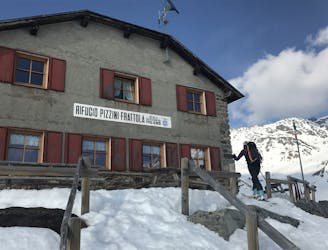
Day 6: An easier day to link two huts with a N facing descent
Difficult Ski Touring
2 km away
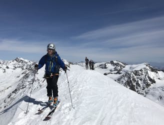
Day 5: The highest summit in this part of the range with a variety of possible ascents and descents
Severe Ski Touring
3.9 km away
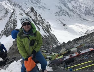
Day 7: A fine summit with a very steep couloir descent. The icing on the cake of your Ortler extravaganza.
Severe Ski Touring
7 routes · Ski Touring