Costaccia_Managed trail
Livigno
Easy and pleasent, wooded and well-sheltered trail for the days of heavy snowfall, or to admire the snow on the trees.
Ski Touring Easy
- Distance
- 3 km
- Ascent
- 540 m
- Descent
- 2 m
- Duration
- 2-3 hrs
- Low Point
- 1.8 km
- High Point
- 2.4 km
- Gradient
- 20˚

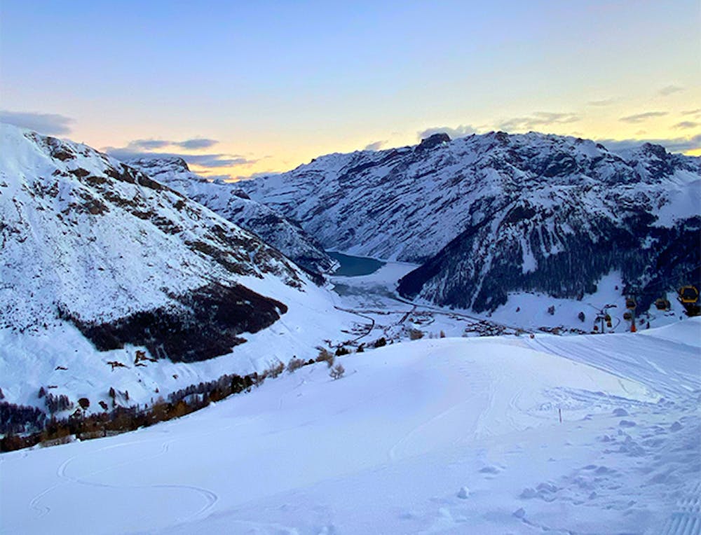
A wooded and well-sheltered trail for the days of heavy snowfall, or to admire the snow on the trees. The new managed trail, marked with blue and orange poles, is the perfect choice if you want to enjoy a trail in the woods and get to the Costaccia Refuge. The trail starts from Via Canton, near the International Clinic Bus Stop, and gradually climbs up to the right without ever meeting the slopes, until it reaches the Costaccia Refuge. From here the descent possibilities are various. We remind you that since the ski lifts and slopes are closed, it is forbidden to go down the beaten slopes both during the day and at night. During the outings on the managed routes it's mandatory to use the backpack with artva shovel and probe, since you go down freeriding.
Difficulty
Easy
Wide gentle slopes at around 20 degrees or less.
Low Exposure (E1)

Exposure is limited to that of the slope itself. Getting hurt is still likely if the slope is steep and/or the snow is hard.
Remoteness
Close to help in case of emergency.
Best time to visit
Features
- Ski Mountaineering
Equipment required
- Skins