Croce Valandrea - Managed Trail
Livigno
The Croce Valandrea ski mountaineering trail is a medium-demanding trail that stretches over 450 meters in altitude.
Ski Touring Easy
- Distance
- 2.6 km
- Ascent
- 494 m
- Descent
- 4 m
- Duration
- 1-2 hrs
- Low Point
- 1.8 km
- High Point
- 2.3 km
- Gradient
- 23˚

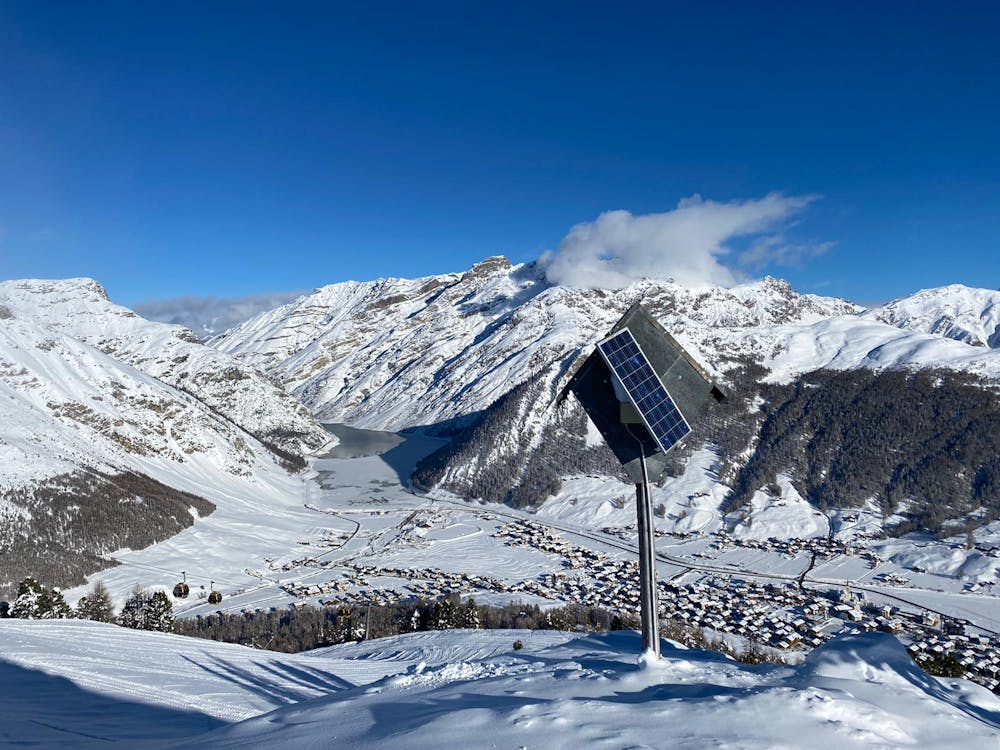
The Croce Valandrea ski mountaineering trail is a medium-demanding trail that stretches over 450 meters in altitude. It starts from the center of Livigno, exactly at the end of the Lupigno playground, near the Centrale Ski School and leads up to the Croce del Valandrea. This trail, marked with orange and blue poles, offers the possibility to climb in complete tranquillity from a path in the woods and away from the ski slopes, climbing by gentle bends that will allow you to practice u-turns. Once you reach the summit, continuing for a very short piece of track you can reach the Costaccia Mountain hut. For the descent, there are various off-piste. We remind you that since the ski lifts and slopes are closed, it is forbidden to go down the beaten slopes both during the day and at night. During the outings on the managed routes it's mandatory to use the backpack with artva shovel and probe, since you go down freeriding.
Difficulty
Easy
Wide gentle slopes at around 20 degrees or less.
Low Exposure (E1)

Exposure is limited to that of the slope itself. Getting hurt is still likely if the slope is steep and/or the snow is hard.
Remoteness
Close to help in case of emergency.
Best time to visit
Features
- Ski Mountaineering
Equipment required
- Skins