Deschana_Managed Trail
Livigno
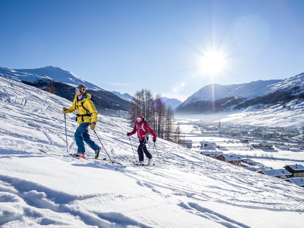
The Deschana ski mountaineering trail is a medium-demanding trail with a difference in altitude of 500m, which starts from the Livigno Dairy and reaches Monte Crapene which offers a 360-degree view of Livigno.
Ski Touring Moderate
- Distance
- 3 km
- Ascent
- 625 m
- Descent
- 4 m
- Duration
- 2-3 hrs
- Low Point
- 1.8 km
- High Point
- 2.4 km
- Gradient
- 24˚

The Deschana ski mountaineering trail is a medium-demanding trail with a difference in altitude of 500m, which starts from the Livigno Dairy and reaches Monte Crapene which offers a 360-degree view of Livigno. The trail, marked with orange and blue poles, starts from the Latteria di Livigno to continue in a beautiful wood of centuries-old larch trees which in a short time leads to a wide, well-marked slope up to the summit. Once you reach the top of Monte Crapene, you can decide to go off-piste from the ascent line. We remind you that since the ski lifts and slopes are closed, it is forbidden to go down the beaten slopes both during the day and at night. During the outings on the managed routes it's mandatory to use the backpack with artva shovel and probe, since you go down freeriding.
Difficulty
Moderate
Slopes become slightly steeper at around 25-30 degrees.
Low Exposure (E1)

Exposure is limited to that of the slope itself. Getting hurt is still likely if the slope is steep and/or the snow is hard.
Remoteness
Close to help in case of emergency.
Best time to visit
Features
- Ski Mountaineering
Equipment required
- Skins