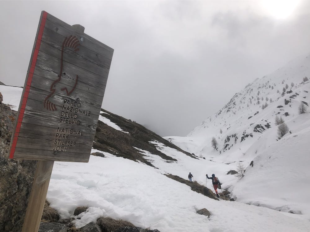
Livigno to S-Charl
Livigno
A long day of uncertain links through remote terrain back into Switzerland
Also in Graubünden, Switzerland
Ski Touring Moderate
- Distance
- 42 km
- Ascent
- 1.9 km
- Descent
- 1.9 km
- Duration
- 1 day +
- Low Point
- 1.8 km
- High Point
- 2.4 km
- Gradient
- 17˚

At the planning stage this seemed a long shot, following natural valley features but steep sided summer footpaths in trees, so might have not worked. Luckily as it turns out Livigno has a very developed MTB scene so the footpaths were actually substantial wide paths that were big enough not to be banked out. Having said all that we encountered some appalling snow and even Finlay was falling over!
- •
- •
- •
- •
- •
- •
Description
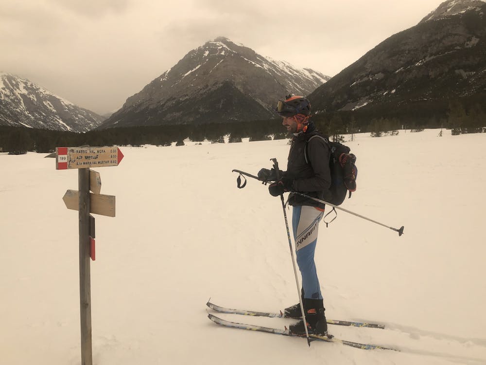
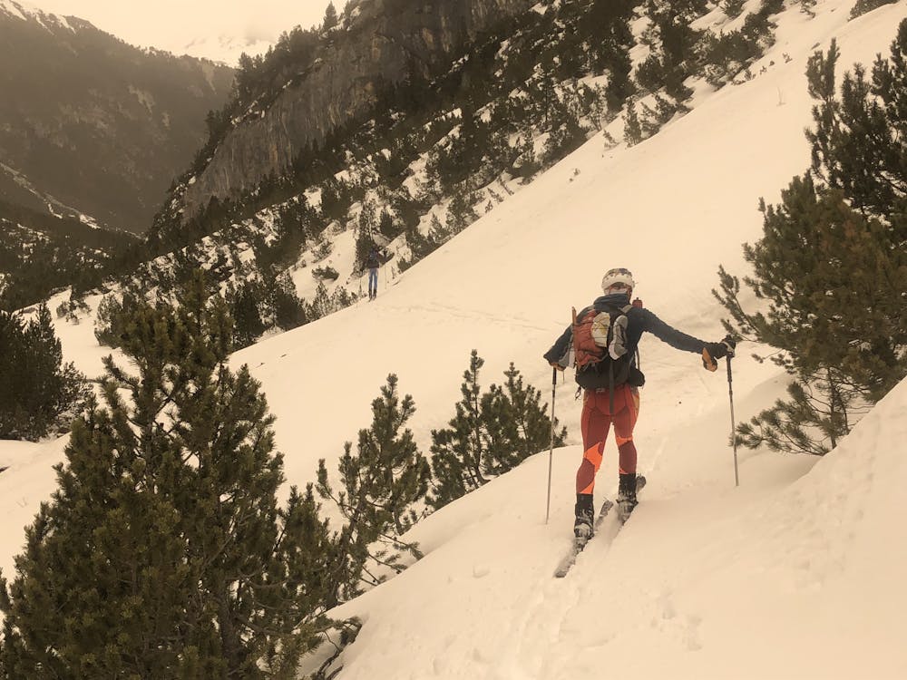
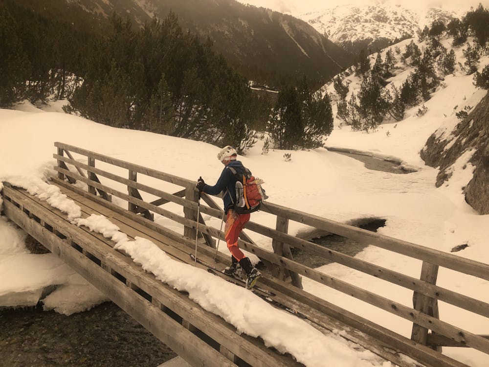
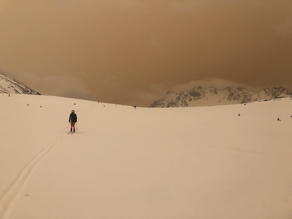
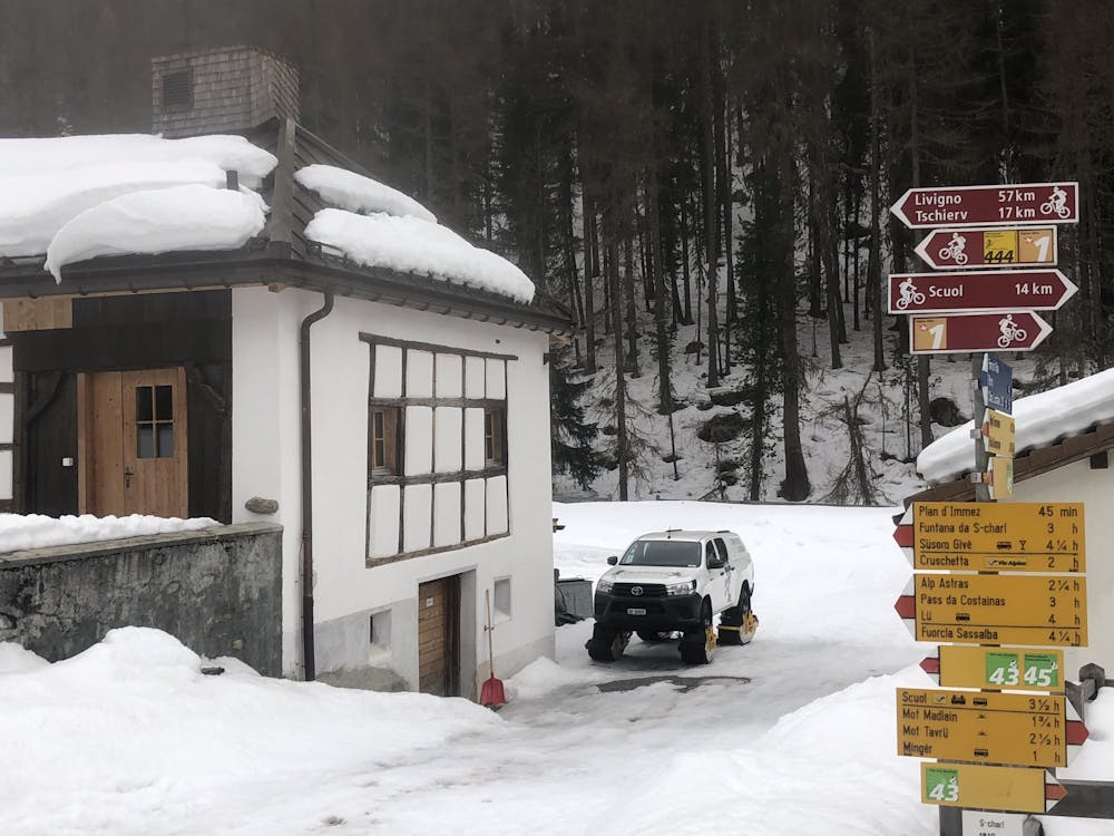
It was overcast as we left Livigno and the lack of refreeze led to some particularly awful snow to start with, then it got worse. As we covered the miles the Sky turned an eerie orange and, although I wondered if it was a Russian bomb, it turned out to be a Saharan sand event and the snow became sandy in colour as the hours went by. The route worked really well and the highlight was definitely the long, long, gentle and beautiful valley down to the really remote collection of buildings S-Charl where we had a friendly, inexpensive but very comfortable night. Another late finish
Difficulty
Moderate
Slopes become slightly steeper at around 25-30 degrees.
Medium Exposure (E2)

As well as the slope itself, there are some obstacles (such as rock outcrops) which could aggravate injury.
Remoteness

Little chance of being seen or helped in case of an accident.
Best time to visit
Features
- Alpine
Equipment required
- Skins