Monte Girella da San Giacomo
Ciaspolata mediamente impegnativa
Hiking Moderate
- Distance
- 12 km
- Ascent
- 797 m
- Descent
- 798 m
- Duration
- 3-4 hrs
- Low Point
- 1.2 km
- High Point
- 1.8 km
- Gradient
- 14˚

This is a popular hiking route which is generally considered to be moderate. It's not remote, it features medium exposure and is typically done in undefined. From a low point of 1.2 km to the maximum altitude of 1.8 km, the route covers 12 km, 797 vertical metres of ascent and 798 vertical metres of descent.
Description
Percorso ad anello della Montagna dei Fiori da San Giacomo passando per:
- Le Tre Caciare (2,0 Km)
- Monte Piselli (3.0 km)
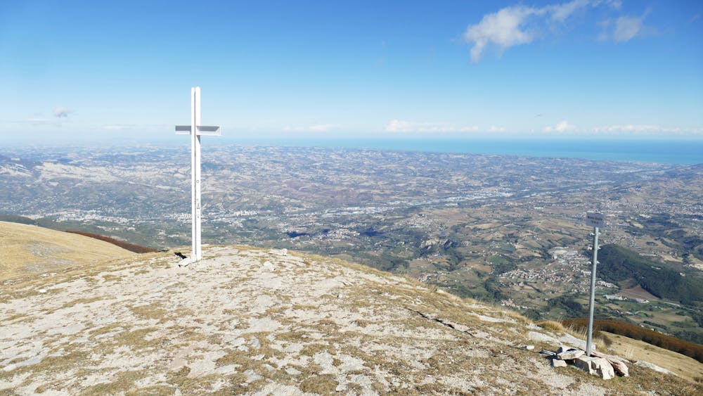
- Monte Girella (5.6 km)
- Il Lago (6,7 Km)
- Il Fosso del Vallone (7,2 Km)
Difficulty
Moderate
Hiking along trails with some uneven terrain and small hills. Small rocks and roots may be present.
Medium Exposure

The trail contains some obstacles such as outcroppings and rock which could cause injury.
Remoteness

Close to help in case of emergency.
Best time to visit
Features
- Picturesque
- Wild flowers