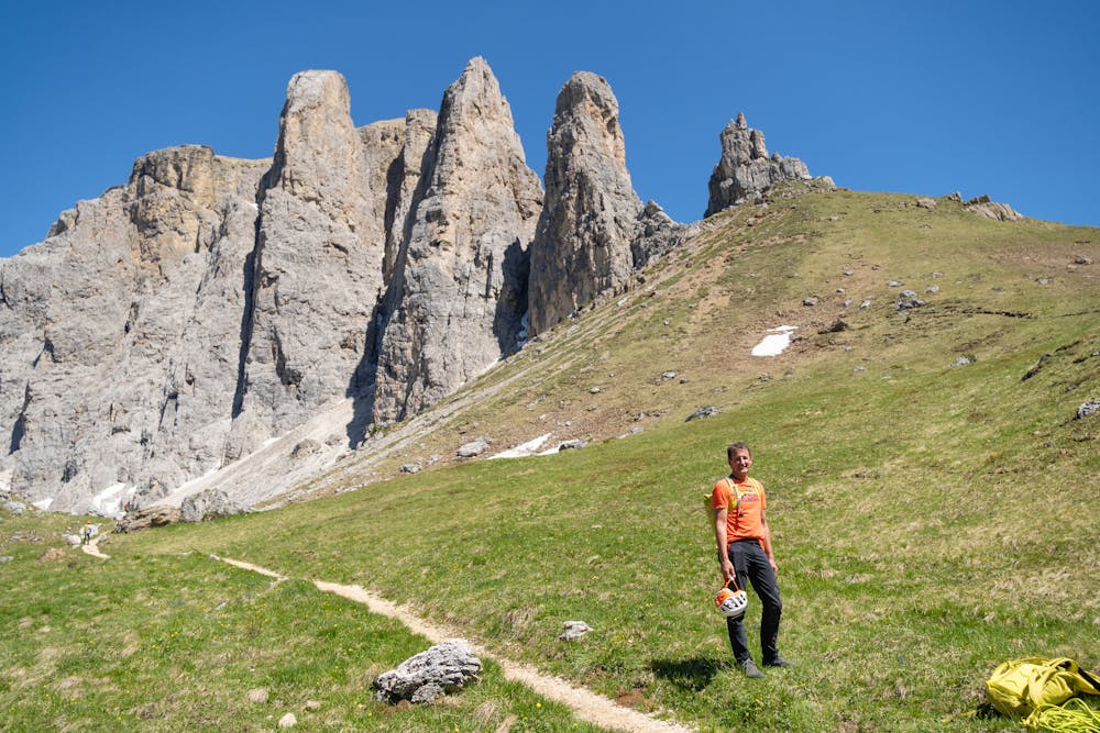
Sellatürme Überschreitung
Dolomites
Val Gardena/Alpe di Siusi
Campitello-Mazzin-Col Rodella
Trentino-Alto Adige
Alpinklettern, Erster, Zweiter und Dritter Sellaturm - #backtopuremountain
Alpine Climbing Severe
- Distance
- 2.5 km
- Ascent
- 497 m
- Descent
- 497 m
- Low Point
- 2.2 km
- High Point
- 2.7 km
- Gradient
- 43˚

This is a popular alpine climbing route which is generally considered to be severe. It's remote, it features high exposure and is typically done between June and September. From a low point of 2.2 km to the maximum altitude of 2.7 km, the route covers 2.5 km, 497 vertical metres of ascent and 497 vertical metres of descent. You'll need quickdraws, climbing shoes and wires and friends to complete it safely.
Description
Routenkombination verschiedener alpiner Touren
Difficulty
Severe
Steep, sustained and serious terrain on rock/ice. Routes will be long, exposed and possibly committing. D, D+
High Exposure

Much of the route is difficult to protect and a fall could be disastrous at certain points.
Remoteness

Away from help but easily accessed.
Best time to visit
Equipment required
- Quickdraws
- Climbing Shoes
- Wires and Friends