5 m away
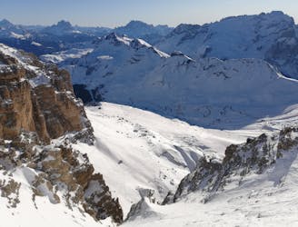
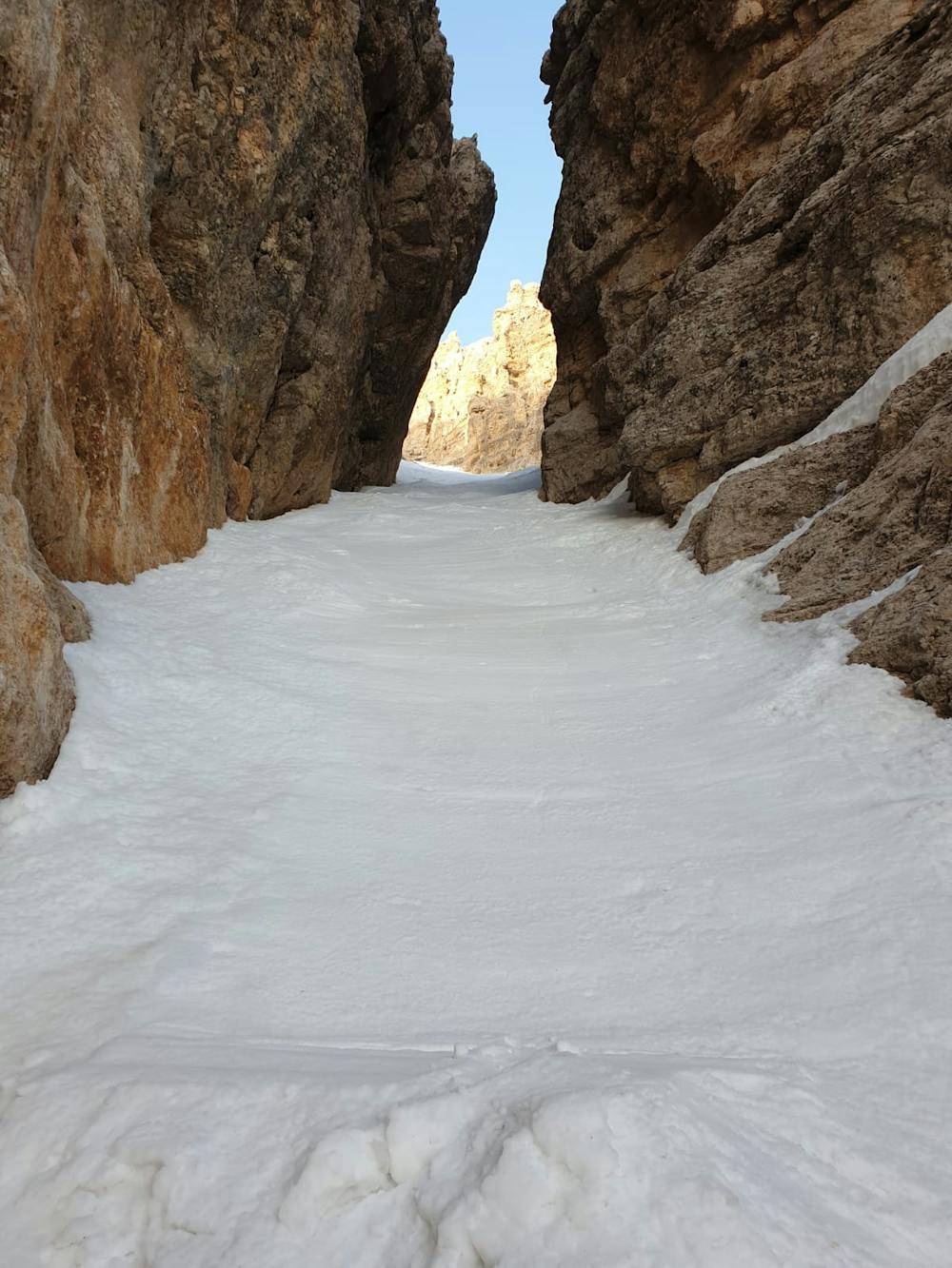
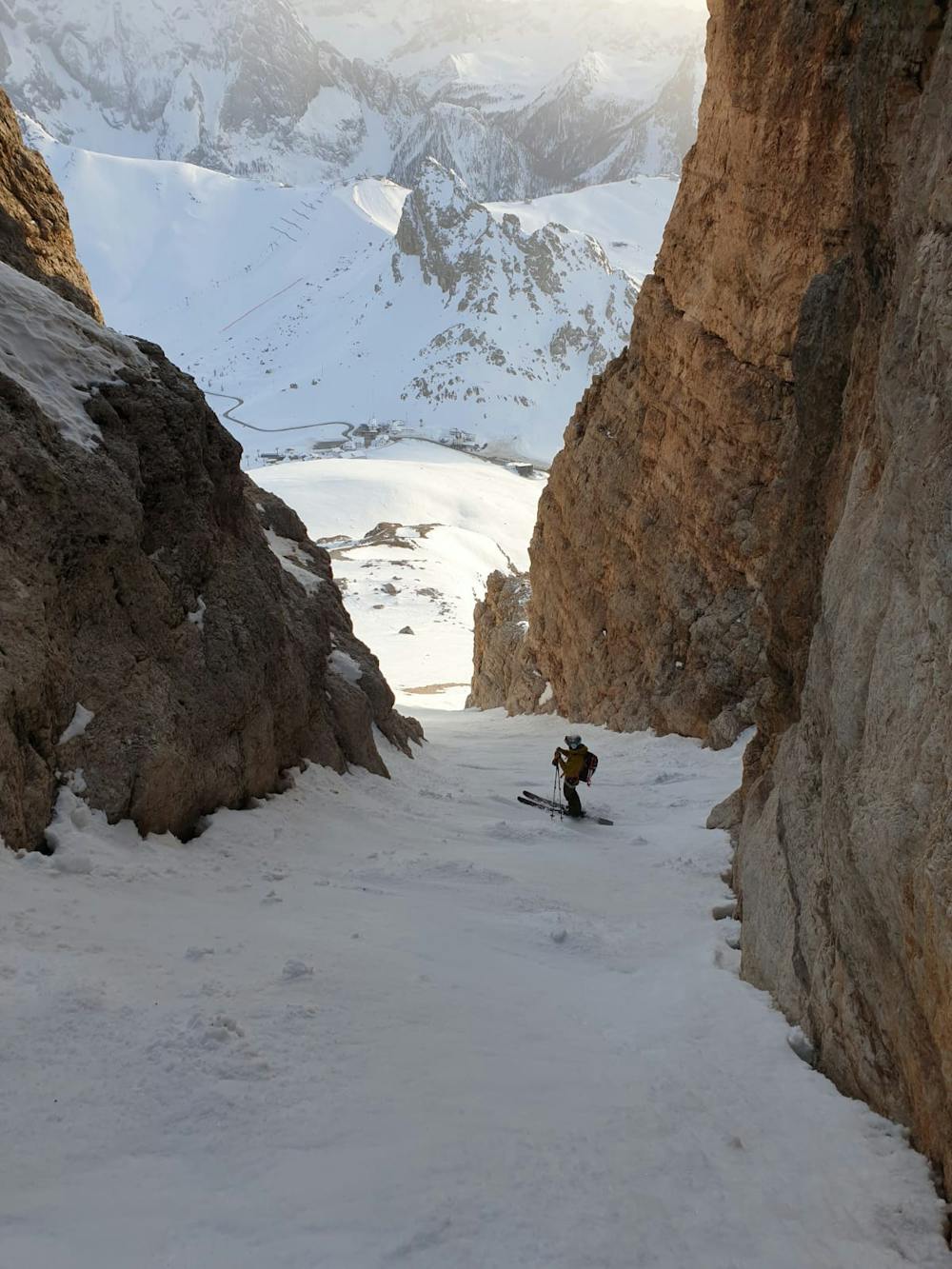
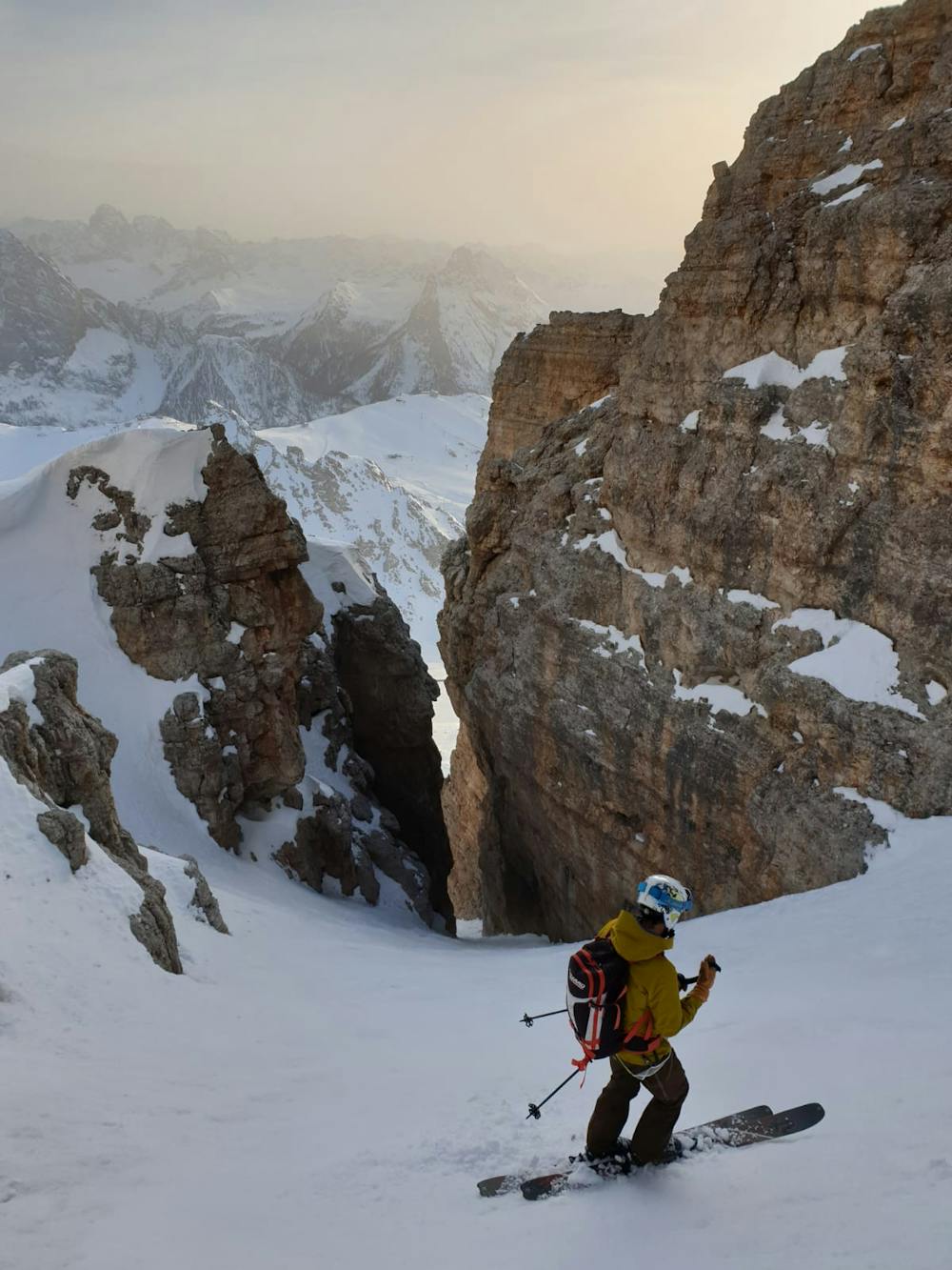
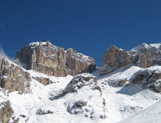
Saas Pordoi South Face
A tight couloir followed by a beautiful, open face.
Severe Freeride Skiing
- Distance
- 2 km
- Ascent
- 2 m
- Descent
- 696 m
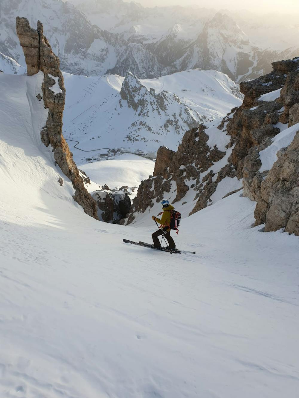
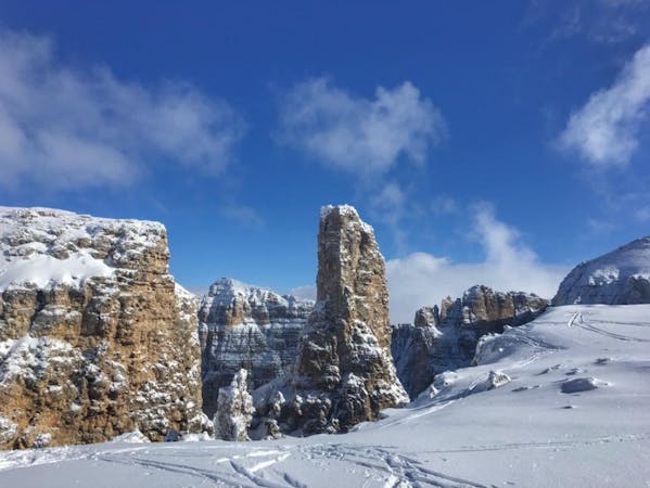
Beautiful couloir between Dolomite rocks
Freeride Skiing Severe

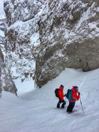
Take the Sass Pordoi cable car up. Ski down towards Rifugio Forcella Pordoi. After the hut traverse E/NE and stay on the same height for about 150-200m. Stop and hike straight up S/SW. Its clear where to hike up, between the rocks. The ascent is max 35° steep and around 100m to the ridge. From the ridge you can ski down in the beautiful couloir. The couloir starts out with a wide funnel, not that steep. It gets up to 45° steep and around 3m wide depending on how much snow there is built up. The most narrow part is between steep and high rockwalls. After that the line opens up again and you can ski down the open field towards the cable car. Be aware of the rocks in the open field. Enjoy this beautiful and easy accessible classic Dolomiti Canale!
Severe
Steep skiing at 38-45 degrees. This requires very good technique and the risk of falling has serious consequences.

As well as the slope itself, there are some obstacles (such as rock outcrops) which could aggravate injury.
Away from help but easily accessed.
5 m away
A tight couloir followed by a beautiful, open face.
Severe Freeride Skiing
9 m away
One of the most famous ski descents in the Dolomites with epic scenery throughout.
Difficult Freeride Skiing
7 routes · Freeride Skiing · Ski Touring
5 routes · Freeride Skiing · Ski Touring