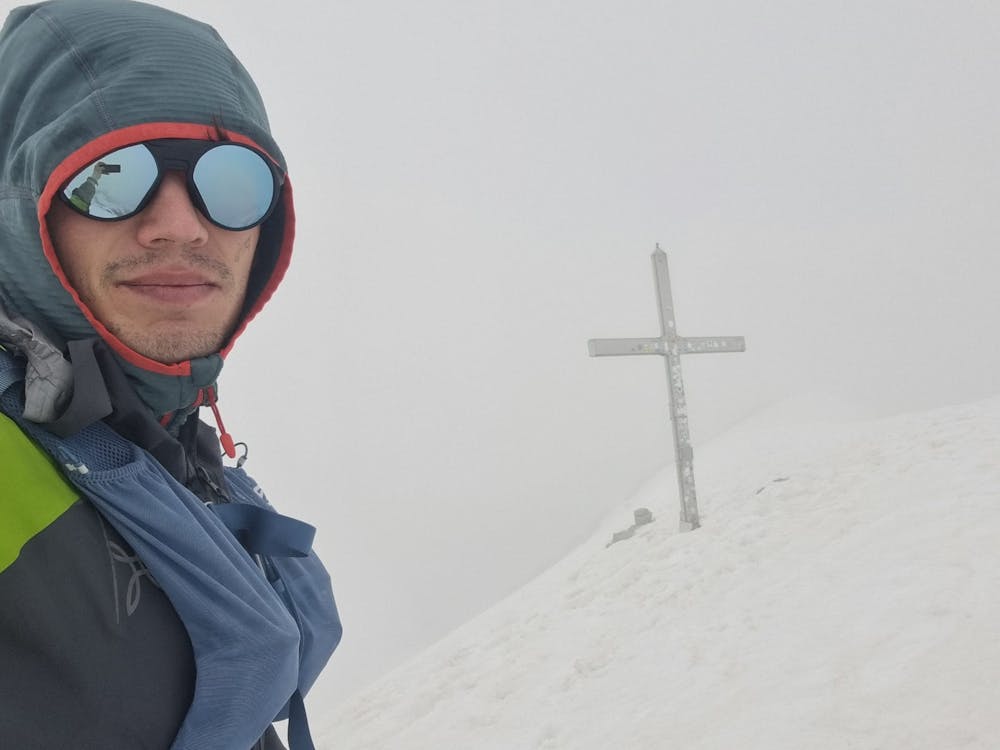
From Pinzolo to the Presanella-peak
Trentino-Alto Adige
from Pinzolo to the highest peak that is completly in Trentino - Presanella
Hiking Extreme
- Distance
- 29 km
- Ascent
- 2.9 km
- Descent
- 2.9 km
- Duration
- 1 day +
- Low Point
- 772 m
- High Point
- 3.5 km
- Gradient
- 23˚

One of the more challenging routes to conquer the summit of the majestic Presanella mountain offers a remarkable altitude gain with not to much horizontal distance. However, if you prefer to undertake the journey over multiple days, there are alternative routes that provide a more pleasant and scenic approach to reach the mountain's pinnacle.
Description
The initial section of the trail, starting from Pinzolo and leading up to the tree line, is seldom trodden, which lends an air of exclusivity to this particular path. However, it's worth noting that the trail might be slightly obscured by tall grass, requiring a keen eye to navigate through. There is a segment, descending from "Monte Nero" until the vicinity of "Bivacco Roberti," where the trail deviates from the beaten path and traverses a gently sloping rocky terrain. Although this part might be considered off the main track, it is still relatively manageable compared to the more demanding sections of the route.
As you ascend higher, towards the upper reaches of the route, it becomes advisable to equip yourself with proper gear such as via ferrata equipment, crampons, and an ice axe, depending on your experience level and the prevailing snow conditions. Especially during the early season, such as in June, the presence of snow is more prominent, resulting in a slower pace of progress.
Embarking on this arduous journey requires determination, but the rewards are truly extraordinary. The challenge of conquering significant altitude gain in a condensed distance, the anticipation of discovering hidden trails, and the necessity of adapting to changing snow conditions make this ascent a true test of both physical and mental prowess.
Difficulty
Extreme
Scrambling up mountains and along technical trails with moderate fall exposure. Handholds are necessary to navigate the trail in its entirety, although they are not necessary at all times. Some obstacles can be very large and difficult to navigate, and the grades can often be near-vertical. The challenge of the trail and the steepness of the grade results in very strenuous hiking. Hikes of this difficulty blur the lines between "hiking" and "climbing".
Medium Exposure

The trail contains some obstacles such as outcroppings and rock which could cause injury.
Remoteness
Away from help but easily accessed.
Best time to visit
Features
- Alpine
- Summit Hike