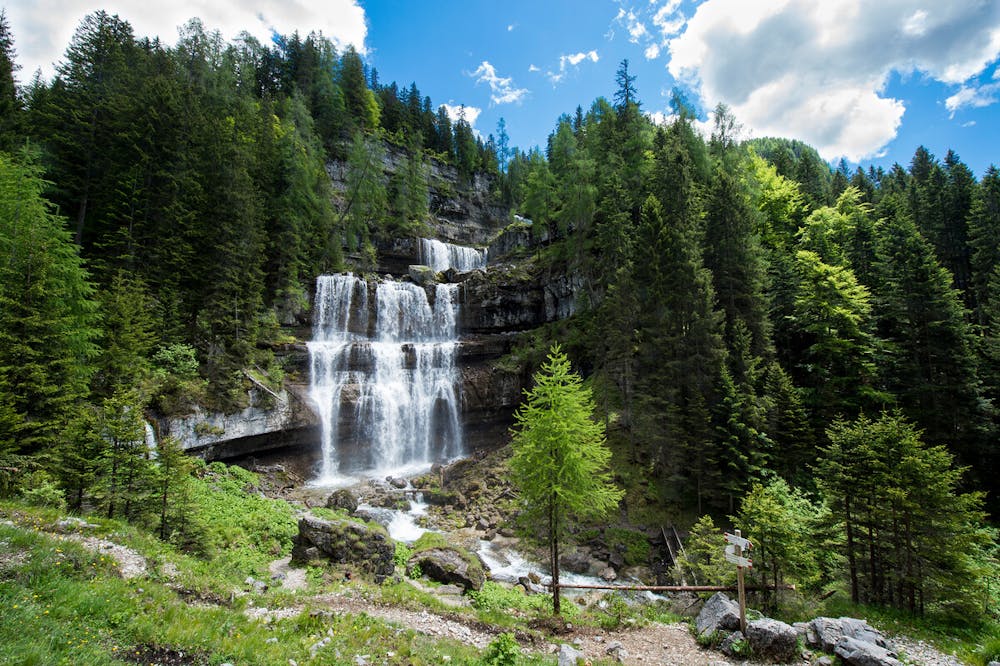
Giro completo cascate di Vallesinella
Madonna di Campiglio
Trentino-Alto Adige
Partendo dal centro paese, sentiero immerso nella natura che passa da tutte e 3 le magnifiche cascate della Vallesinella
Hiking Easy
- Distance
- 9.9 km
- Ascent
- 452 m
- Descent
- 456 m
- Duration
- 2-3 hrs
- Low Point
- 1.3 km
- High Point
- 1.7 km
- Gradient
- 10˚

This is a popular hiking route which is generally considered to be easy. It's remote, it features low exposure and is typically done between May and November. From a low point of 1.3 km to the maximum altitude of 1.7 km, the route covers 9.9 km, 452 vertical metres of ascent and 456 vertical metres of descent.
Description
sentiero panoramico
Difficulty
Easy
Walking along a well-kept trail that’s mostly flat. No obstacles are present.
Low Exposure

The path is on completely flat land and potential injury is limited to falling over.
Remoteness

Away from help but easily accessed.
Best time to visit
Features
- Wildlife
- Picturesque
- Wild flowers
- Water features
- Family friendly
- Forestry or heavy vegetation