Telve- Cima Monte Croce #backtopuremountain
Trentino-Alto Adige
by Andrea Goller
Hiking Moderate
- Distance
- 19 km
- Ascent
- 1.1 km
- Descent
- 1.1 km
- Duration
- 5-6 hrs
- Low Point
- 1.4 km
- High Point
- 2.5 km
- Gradient
- 15˚

This is a popular hiking route which is generally considered to be moderate. It's remote, it features medium exposure and is typically done in an unknown time of year. From a low point of 1.4 km to the maximum altitude of 2.5 km, the route covers 19 km, 1129 vertical metres of ascent and 1128 vertical metres of descent.
Description
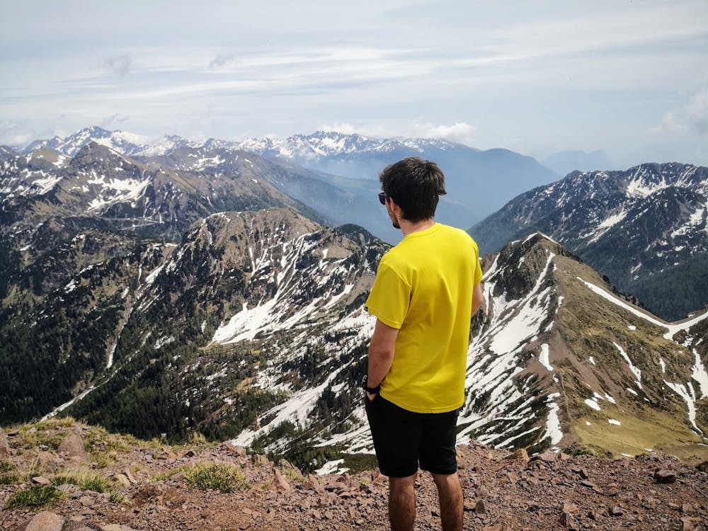
Cima Monte Croce 2.489 m.
Difficulty
Moderate
Hiking along trails with some uneven terrain and small hills. Small rocks and roots may be present.
Medium Exposure

The trail contains some obstacles such as outcroppings and rock which could cause injury.
Remoteness
Away from help but easily accessed.
Features
- Alpine
- Summit Hike