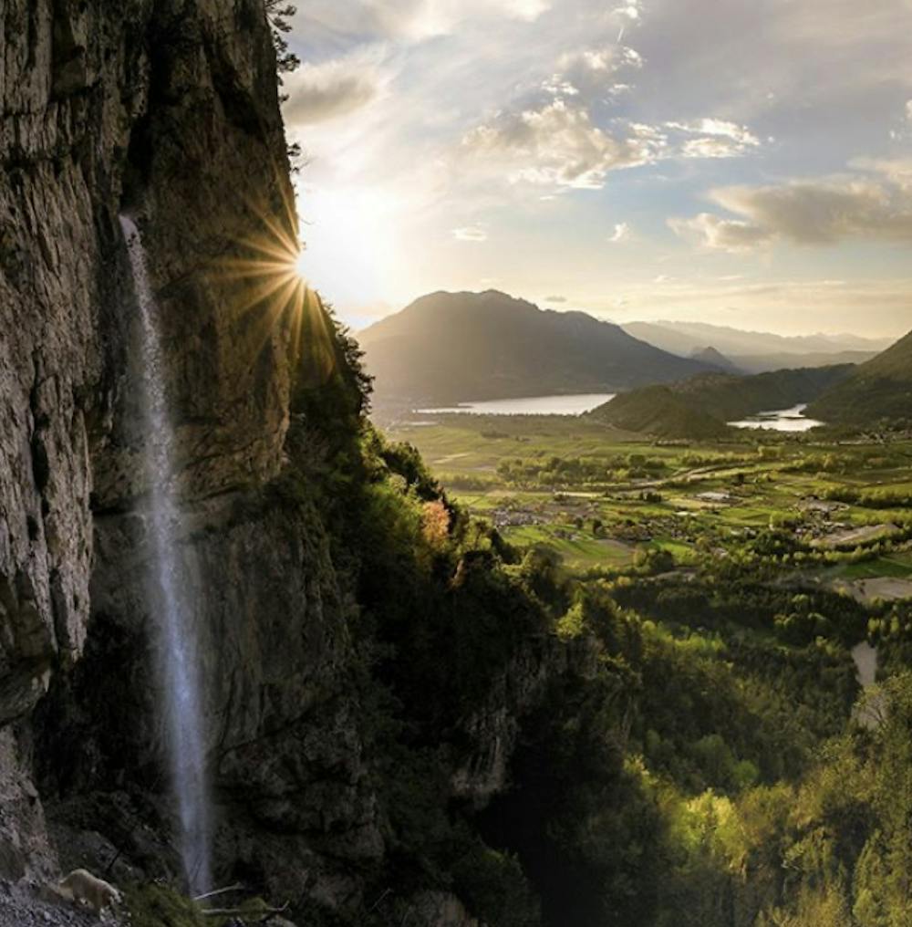
Cascata pisavaca
Trentino-Alto Adige
Passaggio tra i vigneti del comune di isera
Mountain Biking Difficult
- Distance
- 20 km
- Ascent
- 586 m
- Descent
- 585 m
- Duration
- 1-2 hrs
- Low Point
- 164 m
- High Point
- 641 m
- Gradient
- 6˚

This is a popular mountain biking route which is generally considered to be difficult. It's not remote, it features high exposure and is typically done between March and October. From a low point of 164 m to the maximum altitude of 641 m, the route covers 20 km, 586 vertical metres of ascent and 585 vertical metres of descent.
Description
Passaggio tra i vigneti di marzemino
Difficulty
Difficult
Mostly stable trail tread with some variability featuring larger and more unavoidable obstacles that may include, but not be limited to: bigger stones, roots, steps, and narrow curves. Compared to lower intermediate, technical difficulty is more advanced and grades of slopes are steeper. Ideal for upper intermediate riders.
High Exposure

Some trail sections have exposed ledges or steep ascents/descents where falling could cause serious injury.
Remoteness

Close to help in case of emergency.
Best time to visit
Features
- Hike a bike
- Picturesque
- Rock Slabs