Giro a Nago e dintorni
Trentino-Alto Adige
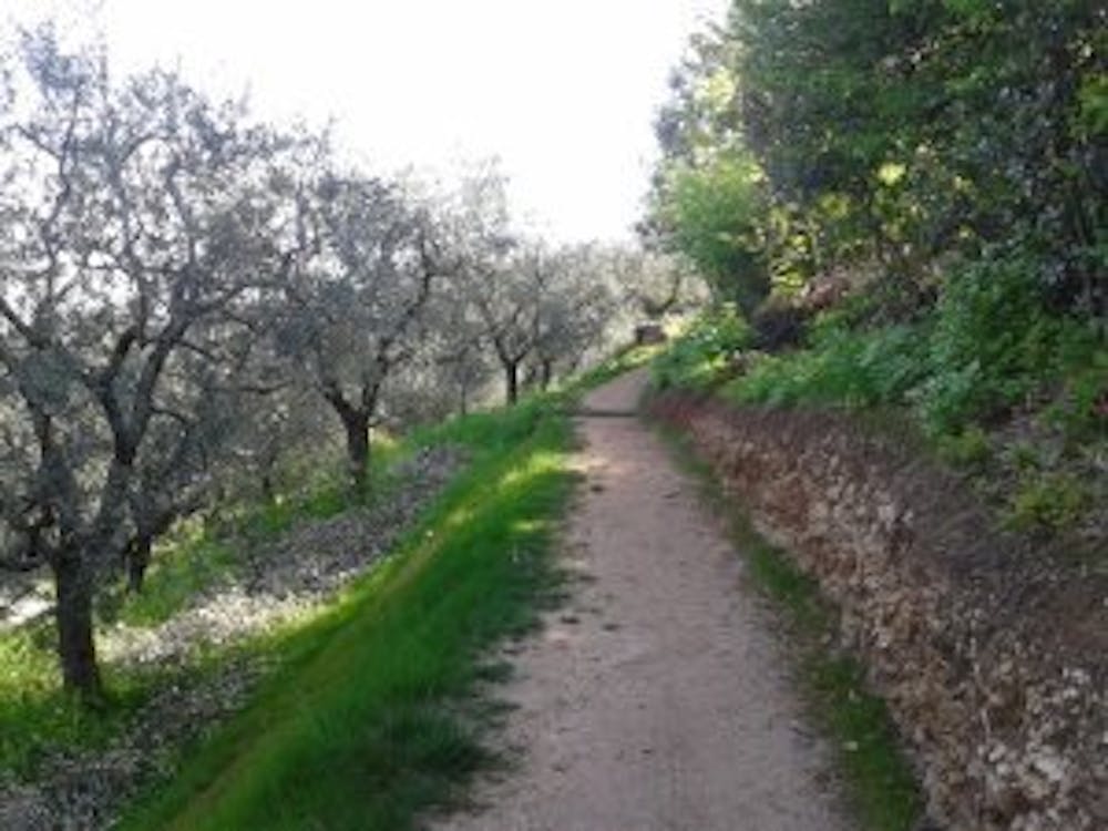
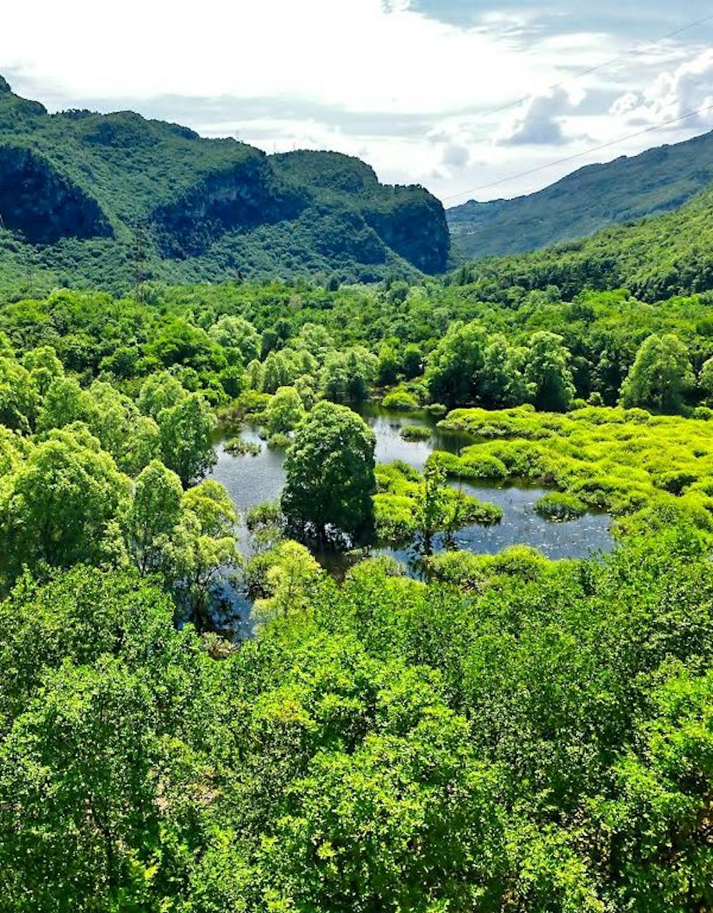
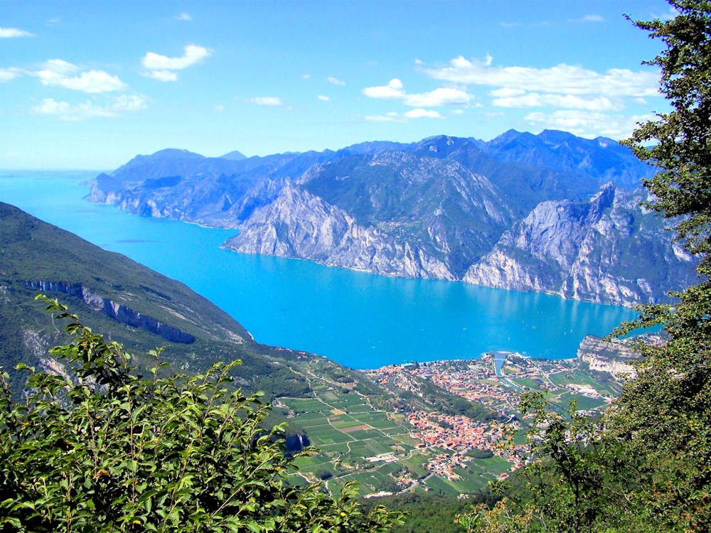
Ciclopedonale Mori-Nago, Lago di Loppio, Olivi del Garda, Vista del Lago di Garda Nord
Mountain Biking Difficult
- Distance
- 37 km
- Ascent
- 505 m
- Descent
- 505 m
- Duration
- 2-3 hrs
- Low Point
- 91 m
- High Point
- 274 m
- Gradient
- 7˚

This is a popular mountain biking route which is generally considered to be difficult. It's not remote, it features high exposure and is typically done all year round. From a low point of 91 m to the maximum altitude of 274 m, the route covers 37 km, 505 vertical metres of ascent and 505 vertical metres of descent.
- •
- •
- •
Description
scorci di natura bellissimi
Difficulty
Difficult
Mostly stable trail tread with some variability featuring larger and more unavoidable obstacles that may include, but not be limited to: bigger stones, roots, steps, and narrow curves. Compared to lower intermediate, technical difficulty is more advanced and grades of slopes are steeper. Ideal for upper intermediate riders.
High Exposure

Some trail sections have exposed ledges or steep ascents/descents where falling could cause serious injury.
Remoteness

Close to help in case of emergency.
Best time to visit
Features
- Hike a bike
- Picturesque
- Rock Rolls
- Rock Slabs