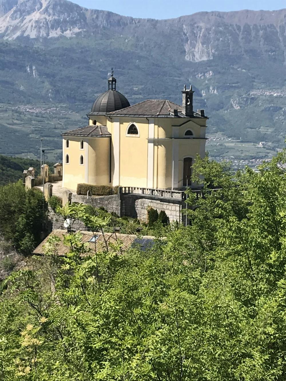
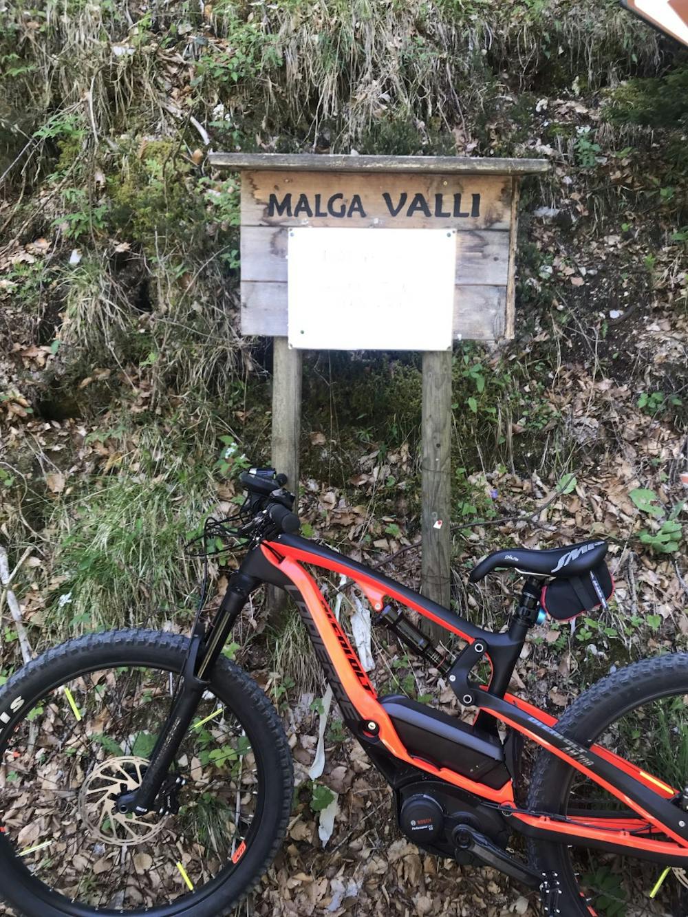
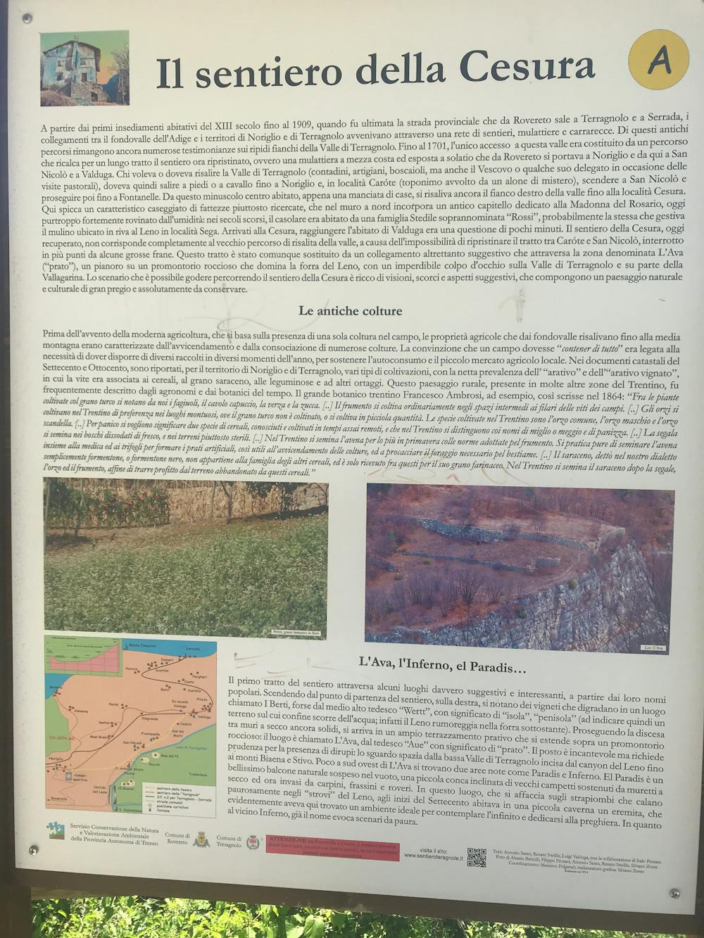
Rovereto, Noriglio, Ca Bianca, Giazera, Moscheri
Trentino-Alto Adige
Grande giro su strade e sentieri storici
Mountain Biking Severe
- Distance
- 33 km
- Ascent
- 1.1 km
- Descent
- 1.1 km
- Duration
- 3-4 hrs
- Low Point
- 167 m
- High Point
- 1 km
- Gradient
- 9˚

This is a popular mountain biking route which is generally considered to be severe. It's not remote, it features extreme exposure and is typically done between April and October. From a low point of 167 m to the maximum altitude of 1 km, the route covers 33 km, 1071 vertical metres of ascent and 1071 vertical metres of descent.
- •
- •
- •
- •
Description
Percorso impegnativo per le asperità del terreno
Difficulty
Severe
Widely variable, narrow trail tread with steeper grades and unavoidable obstacles of 15in/38cm tall or less. Obstacles may include unavoidable bridges 24in/61cm wide or less, large rocks, gravel, difficult root sections, and more. Ideal for advanced-level riders.
Extreme Exposure

Some trail sections are extremely exposed where falling will almost certainly result in serious injury or death.
Remoteness

Close to help in case of emergency.
Best time to visit
Features
- Technical
- Hike a bike
- Picturesque
- In the forest
- Road sections
- Drops
- Roots
- Tabletops
- Rock Rolls
- Rock Slabs
- Rock Gardens