Cima Bissina
Trentino-Alto Adige
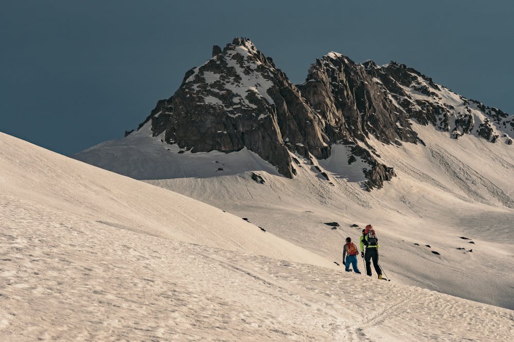
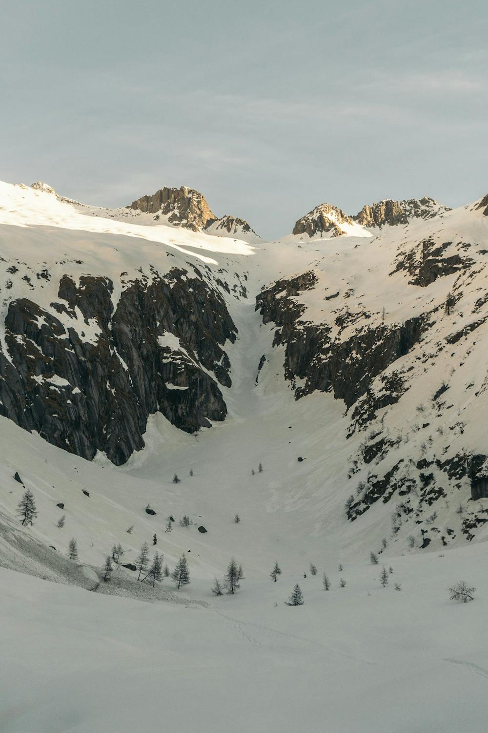
Cima Bissina dalla Val Danerba, scendendo per la Val Latola
Ski Touring Difficult
- Distance
- 19 km
- Ascent
- 1.8 km
- Descent
- 1.8 km
- Duration
- 1 day +
- Low Point
- 1.2 km
- High Point
- 2.9 km
- Gradient
- 27˚

This is a popular ski touring route which is generally considered to be difficult. It's very remote, it features medium exposure (e2) and is typically done between February and April. From a low point of 1.2 km to the maximum altitude of 2.9 km, the route covers 19 km, 1821 vertical metres of ascent and 1819 vertical metres of descent. It's graded 2.3 and Labande grade 3. You'll need skins, ice axe and crampons to complete it safely.
- •
- •
- •
Description
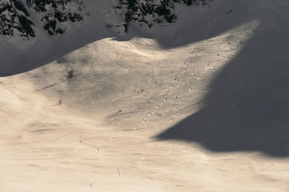
Lungo itinerario con sciata remunerativa in direzione di metà Lago di Bissina sul versante N-O. si ha la possibilità di salire anche cima Danerba poco vicina a Cima Bissina.
Difficulty
Difficult
Serious gradient of 30-38 degrees where a real risk of slipping exists.
Medium Exposure (E2)

As well as the slope itself, there are some obstacles (such as rock outcrops) which could aggravate injury.
Remoteness

Little chance of being seen or helped in case of an accident.
Best time to visit
Features
- Ski Mountaineering
Equipment required
- Skins
- Ice axe
- Crampons