15 m away
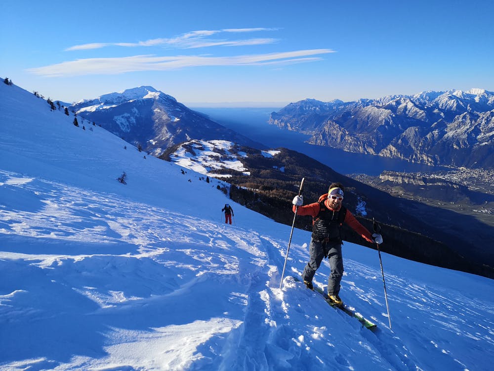
Monte Stivo Skiing Experience
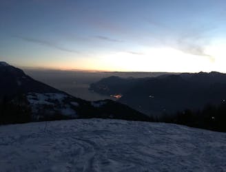
An unusual skitouring experience!
Easy Ski Touring
- Distance
- 8 km
- Ascent
- 854 m
- Descent
- 854 m
Discesa dal canale Est
Ski Touring Difficult

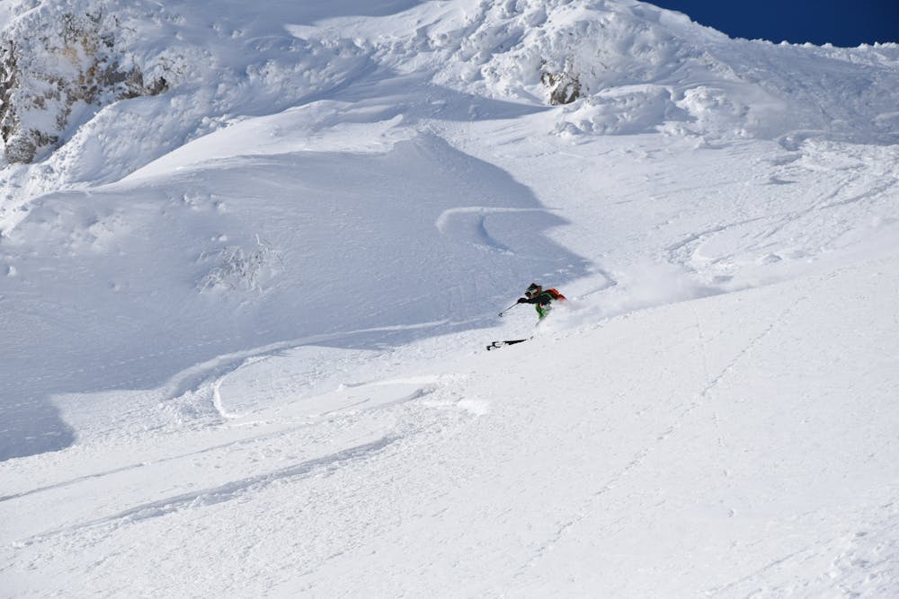
This is a popular ski touring route which is generally considered to be difficult. It's not remote, it features medium exposure (e2) and is typically done in undefined. From a low point of 1.2 km to the maximum altitude of 2.1 km, the route covers 10 km, 927 vertical metres of ascent and 925 vertical metres of descent. It's graded 3.1 and Labande grade 4. You'll need skins to complete it safely.
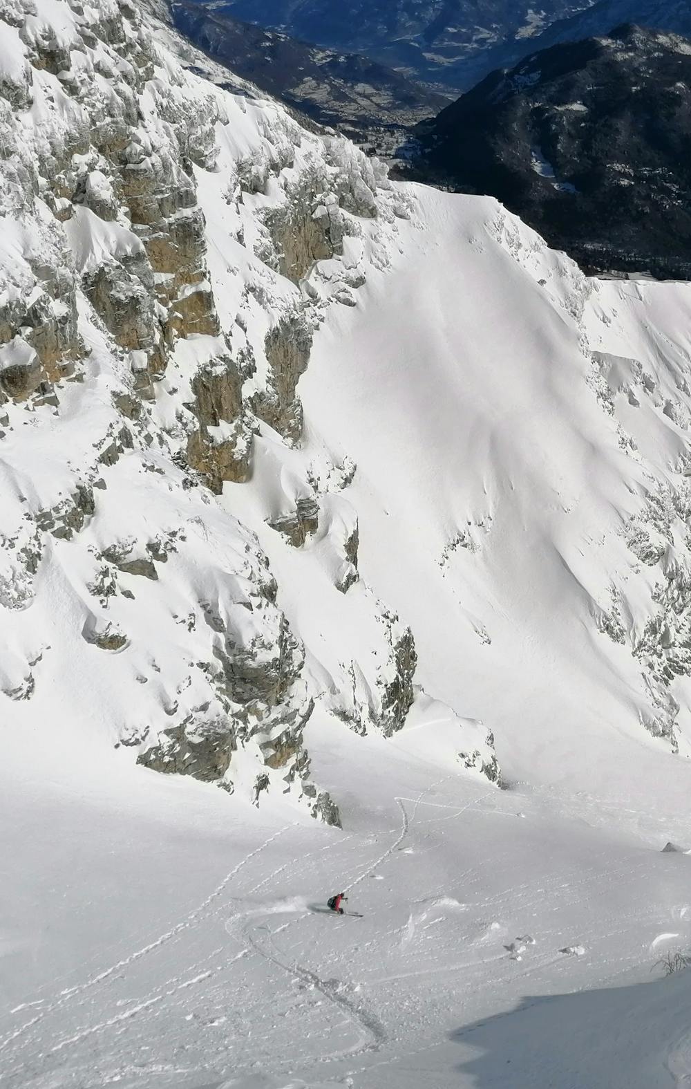
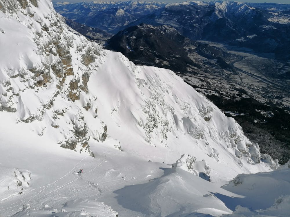
discesa raramente in condizioni di grande soddisfazione, il versante di discesa prende sole dall'alba
Difficult
Serious gradient of 30-38 degrees where a real risk of slipping exists.

As well as the slope itself, there are some obstacles (such as rock outcrops) which could aggravate injury.

Close to help in case of emergency.
15 m away
An unusual skitouring experience!
Easy Ski Touring