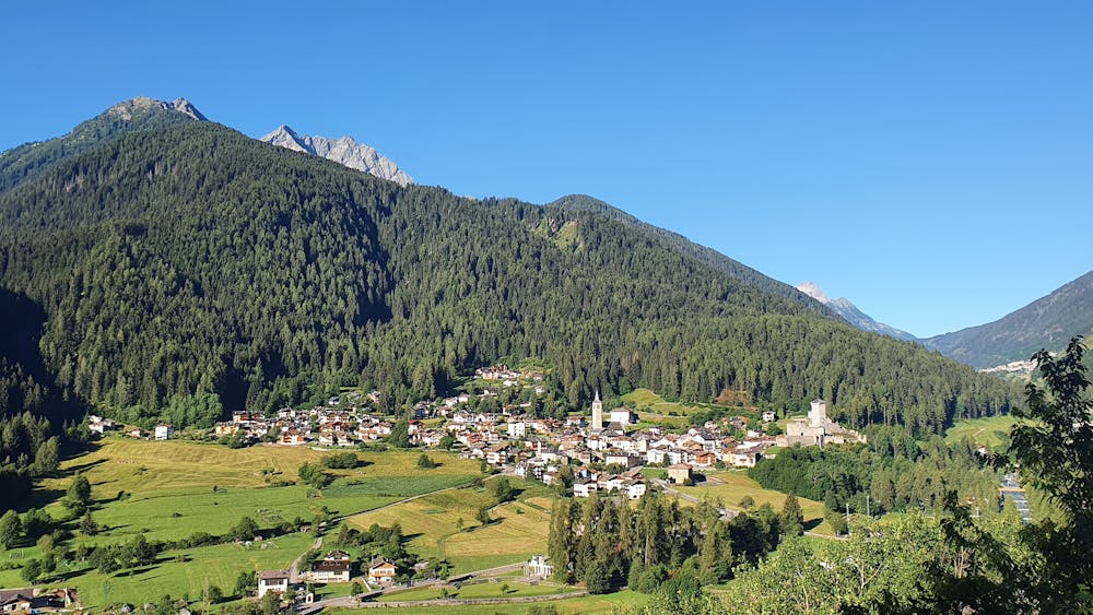
Lago di Celentino
Trentino-Alto Adige
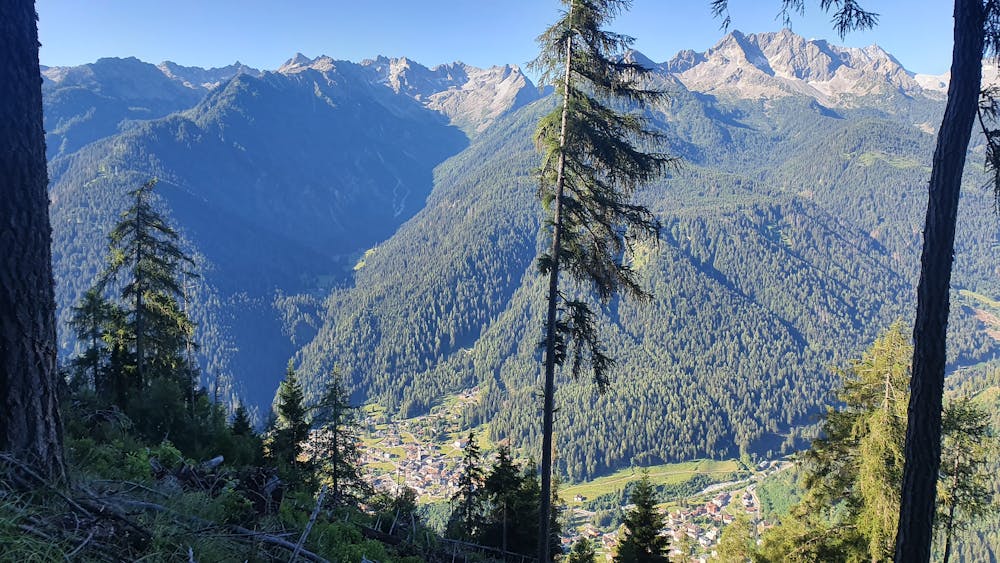
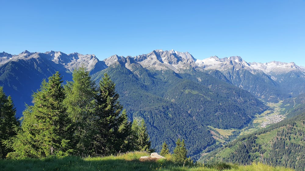
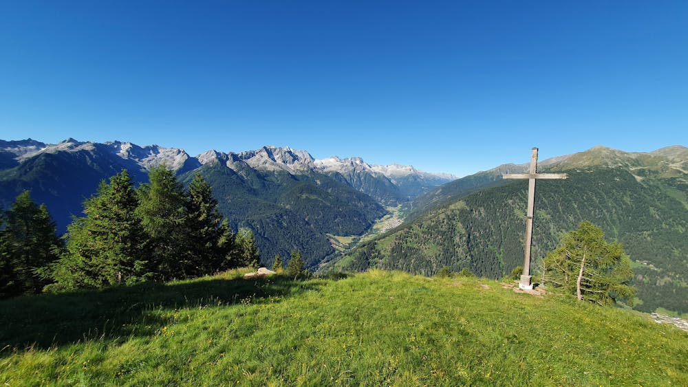
Loop from Ossana with breathtaking views of Adamello-Presanella range
Trail Running Easy
- Distance
- 14 km
- Ascent
- 1.2 km
- Descent
- 1.2 km
- Duration
- 2-3 hrs
- Low Point
- 924 m
- High Point
- 2.1 km
- Gradient
- 17˚

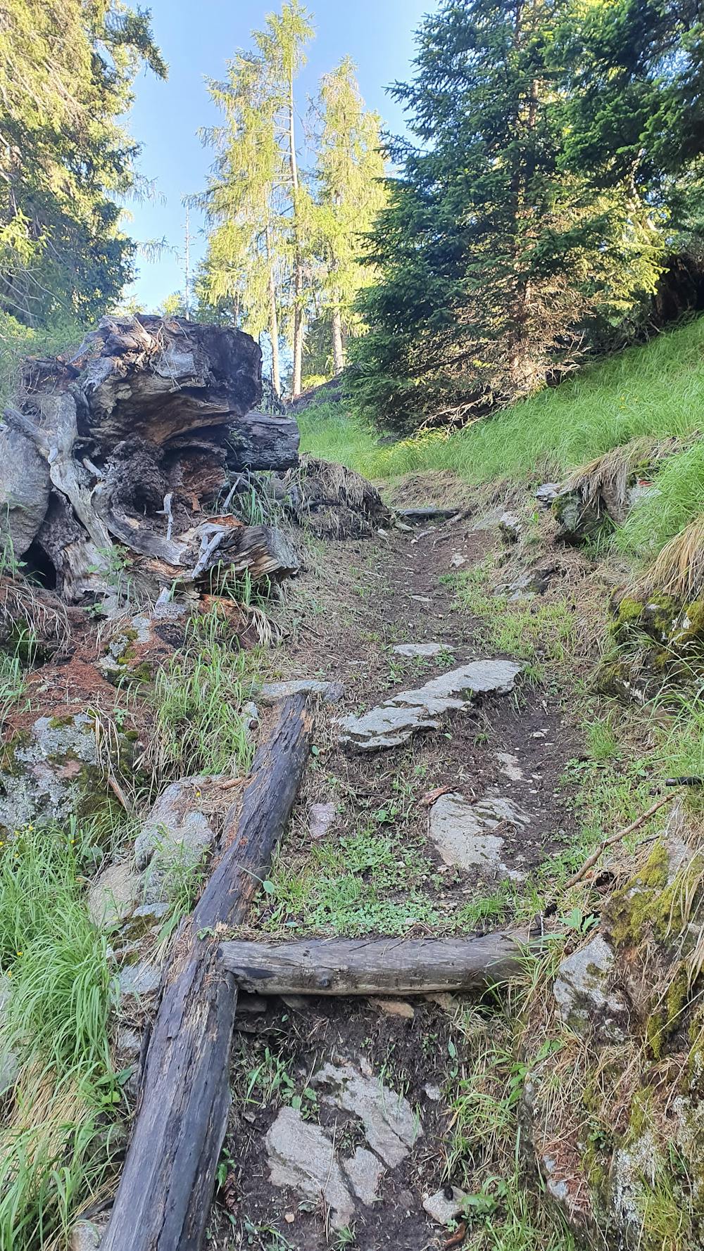
This is a popular trail running route which is generally considered to be easy. It's very remote, it features medium exposure and is typically done between May and October. From a low point of 924 m to the maximum altitude of 2.1 km, the route covers 14 km, 1208 vertical metres of ascent and 1208 vertical metres of descent.
- •
- •
- •
- •
- •
Description
Breathtaking views of Adamello-Presanella range Great view point on the highest point of the tour with a bench and table
Difficulty
Easy
Medium Exposure

The trail contains some obstacles such as outcroppings and rock which could cause injury.
Remoteness

Little chance of being seen or helped in case of an accident.