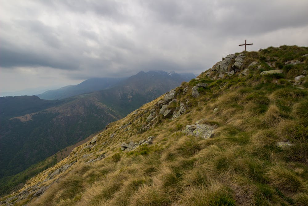
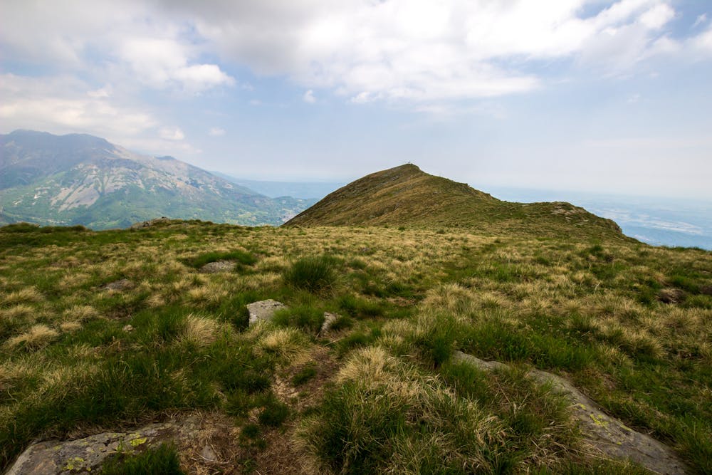
Anello Cima Bossola
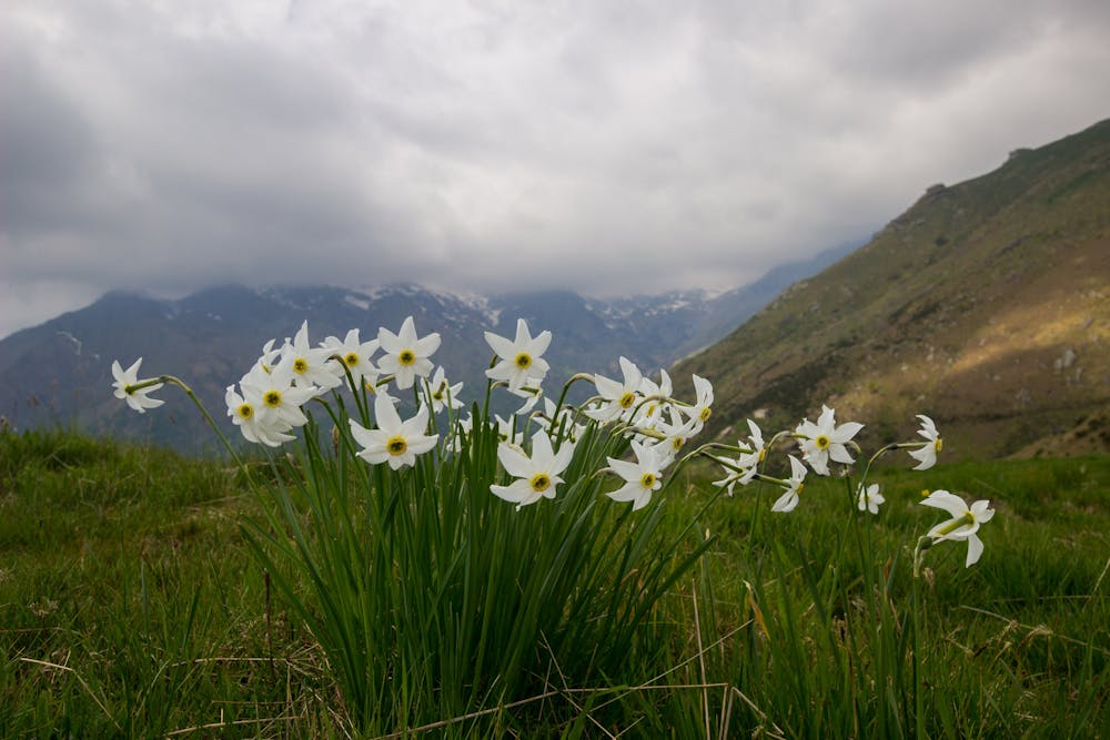
Very simple trip, reaching Cima Bossola. Lots of daffodils fulfill the grass around the path.
Hiking Easy
- Distance
- 5.1 km
- Ascent
- 303 m
- Descent
- 302 m
- Duration
- 1-2 hrs
- Low Point
- 1.2 km
- High Point
- 1.5 km
- Gradient
- 11˚

This is a popular hiking route which is generally considered to be easy. It's not remote, it features low exposure and is typically done between April and December. From a low point of 1.2 km to the maximum altitude of 1.5 km, the route covers 5.1 km, 303 vertical metres of ascent and 302 vertical metres of descent.
- •
- •
- •
Description
This route is very easy, and adapt to all who wants to make a beautiful trip, with the possibility to admire lots of with daffodils (Narcissus poeticus). Good trip also for who wants to start to practice hiking.
Difficulty
Easy
Walking along a well-kept trail that’s mostly flat. No obstacles are present.
Low Exposure

The path is on completely flat land and potential injury is limited to falling over.
Remoteness
Close to help in case of emergency.
Best time to visit
Features
- Picturesque
- Summit Hike
- Wild flowers