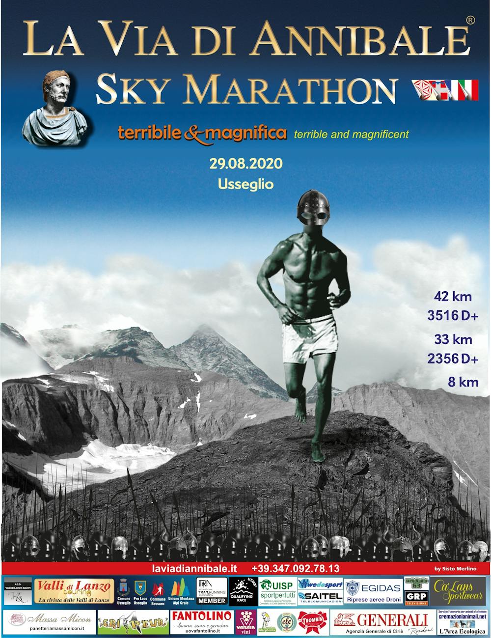
La Via di Annibale Sky Marathon - Hannibal Trail
Charbonnel Group
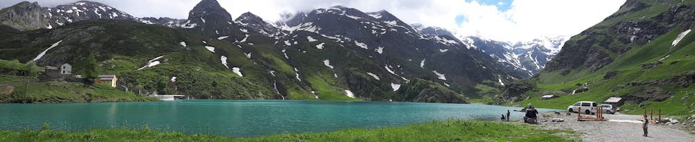
Usseglio
Usseglio - Dove Annibale ha valicato le Alpi con gli elefanti. Romanzo storico "La druida di Margun" Usseglio - Where Hannibal crossed the Alps with elephants. Historical novel "The Margun druid" www.laviadiannibale.it www.druida.info
Hiking Moderate
- Distance
- 42 km
- Ascent
- 3.4 km
- Descent
- 3.4 km
- Duration
- 1 day +
- Low Point
- 1.3 km
- High Point
- 3.3 km
- Gradient
- 23˚

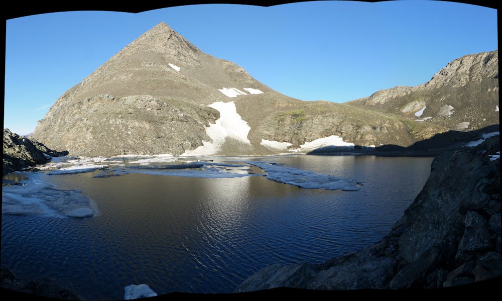
This is a popular hiking route which is generally considered to be moderate. It's very remote, it features medium exposure and is typically done between June and September. From a low point of 1.3 km to the maximum altitude of 3.3 km, the route covers 42 km, 3378 vertical metres of ascent and 3378 vertical metres of descent.

- •
- •
- •
- •
Description
42.2 km per 3516 m dislivello positivo. Maratona alpina d'alta quota sul passaggio che utilizzo Annibale per varcare le Alpi con gli elefanti. Usseglio - Where Hannibal crossed the Alps with elephants. Historical novel "The Margun druid" www.hannibaltrail.it
Difficulty
Moderate
Hiking along trails with some uneven terrain and small hills. Small rocks and roots may be present.
Medium Exposure

The trail contains some obstacles such as outcroppings and rock which could cause injury.
Remoteness

Little chance of being seen or helped in case of an accident.
Best time to visit
Features
- Alpine
- Wildlife
- Historical
- Picturesque
- Summit Hike
- Wild flowers