Lac Blanc, Caserma Malamot, Pointe Droset da Lago d'arlon
Long daytrip starting at Lake Arpone, reaching the old military Forte Malamot.
Hiking Moderate
- Distance
- 18 km
- Ascent
- 1.2 km
- Descent
- 1.2 km
- Duration
- 5-6 hrs
- Low Point
- 1.8 km
- High Point
- 2.9 km
- Gradient
- 16˚

This is a popular hiking route which is generally considered to be moderate. It's remote, it features medium exposure and is typically done between May and November. From a low point of 1.8 km to the maximum altitude of 2.9 km, the route covers 18 km, 1238 vertical metres of ascent and 1238 vertical metres of descent.
- •
- •
- •
Description
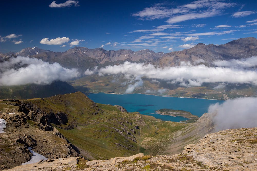
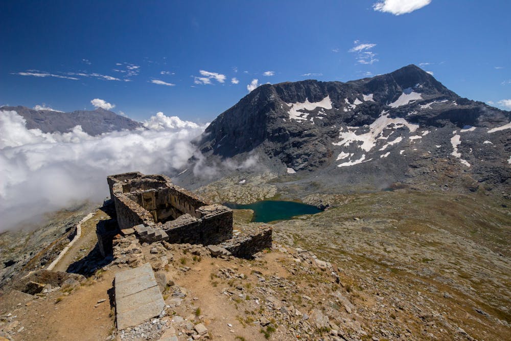
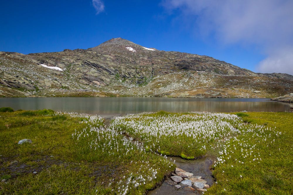
The trip starts at Lake Arpone, at the border between Italy and France. Most of the trip develops along an alpine road, and sometimes on a real path. The view from the Forte Malamot spaces on the Moncenisio Lake, and on many peaks, like the famous Rocciamelone.
Difficulty
Moderate
Hiking along trails with some uneven terrain and small hills. Small rocks and roots may be present.
Medium Exposure

The trail contains some obstacles such as outcroppings and rock which could cause injury.
Remoteness
Away from help but easily accessed.
Best time to visit
Features
- Historical
- Picturesque
- Summit Hike
- Family friendly