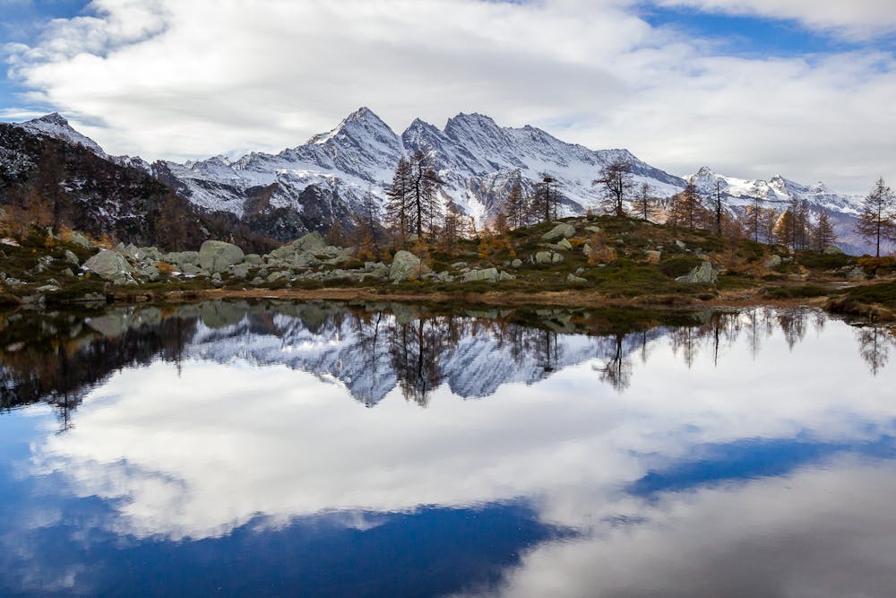
Laghi di Bellagarda da Ghiarai
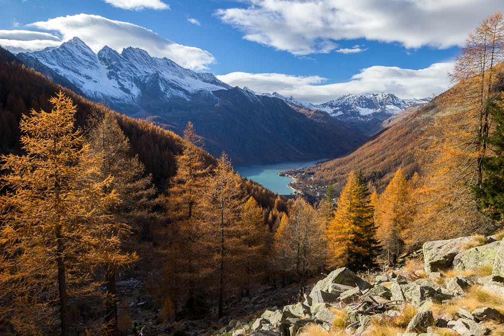
Charbonnel Group
Beautiful trip from Ceresole Reale to Bellagarda Lakes.
Hiking Moderate
- Distance
- 8.6 km
- Ascent
- 740 m
- Descent
- 740 m
- Duration
- 2-3 hrs
- Low Point
- 1.5 km
- High Point
- 2.2 km
- Gradient
- 18˚

This is a popular hiking route which is generally considered to be moderate. It's not remote, it features medium exposure and is typically done between April and November. From a low point of 1.5 km to the maximum altitude of 2.2 km, the route covers 8.6 km, 740 vertical metres of ascent and 740 vertical metres of descent.
- •
- •
- •
Description
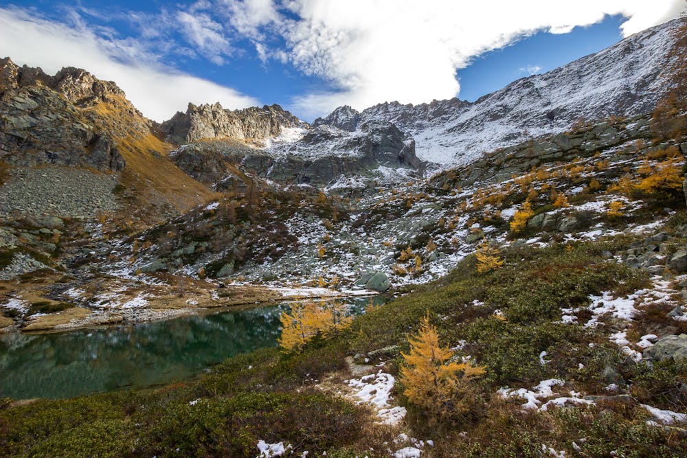
This route is very awesome and one of the most known within the Gran Paradiso National Park. It's possible to reach many alpine lakes, with a stunning view on the Ceresole Lake. The panorama is mostly dominated by the Levanne Mounts.
Difficulty
Moderate
Hiking along trails with some uneven terrain and small hills. Small rocks and roots may be present.
Medium Exposure

The trail contains some obstacles such as outcroppings and rock which could cause injury.
Remoteness

Close to help in case of emergency.
Best time to visit
Features
- Alpine
- Water features
- Forestry or heavy vegetation