Laghi di Sagnasse da Rivotti
Charbonnel Group
Short trip from Rivotti to the two Sagnasse Lakes.
Hiking Easy
- Distance
- 9.9 km
- Ascent
- 644 m
- Descent
- 641 m
- Duration
- 3-4 hrs
- Low Point
- 1.5 km
- High Point
- 2.1 km
- Gradient
- 14˚
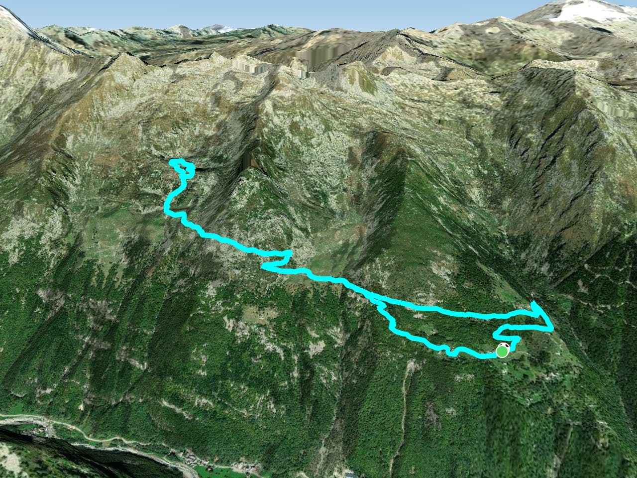
This is a popular hiking route which is generally considered to be easy. It's remote, it features low exposure and is typically done between April and November. From a low point of 1.5 km to the maximum altitude of 2.1 km, the route covers 9.9 km, 644 vertical metres of ascent and 641 vertical metres of descent.
- •
- •
- •
Description
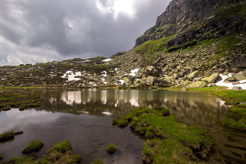
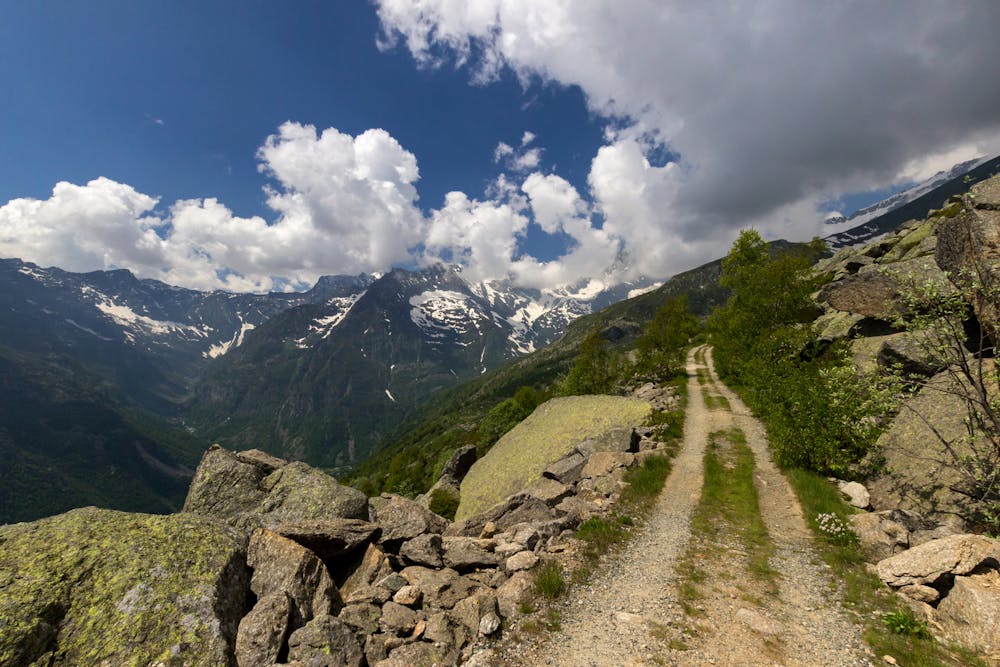
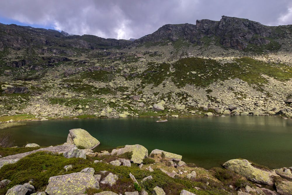
This trip is quite easy and adapt also for family and children, since the way develops almost on a route; only the last part to reach the lakes is an alpine hiking path. The lakes are particularly beautiful at spring time (May and June), where lots of flowers can be seen.
Difficulty
Easy
Walking along a well-kept trail that’s mostly flat. No obstacles are present.
Low Exposure

The path is on completely flat land and potential injury is limited to falling over.
Remoteness

Away from help but easily accessed.
Best time to visit
Features
- Alpine
- Dog friendly
- Wild flowers
- Water features
- Family friendly