Laghi e Colle dell'Autaret, Punta Costan dal Lago di Malciaussia
Charbonnel Group
Usseglio
Long trip from Malciaussia Lake to Colle dell'Autaret and Punta Costan.
Hiking Severe
- Distance
- 18 km
- Ascent
- 1.8 km
- Descent
- 1.8 km
- Duration
- 6-7 hrs
- Low Point
- 1.8 km
- High Point
- 3.3 km
- Gradient
- 24˚

This is a popular hiking route which is generally considered to be severe. It's very remote, it features high exposure and is typically done between June and October. From a low point of 1.8 km to the maximum altitude of 3.3 km, the route covers 18 km, 1753 vertical metres of ascent and 1753 vertical metres of descent.
- •
- •
- •
Description
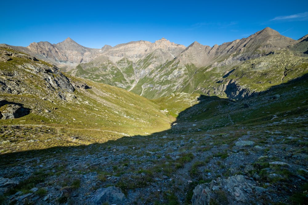
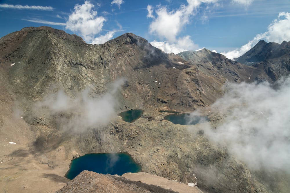
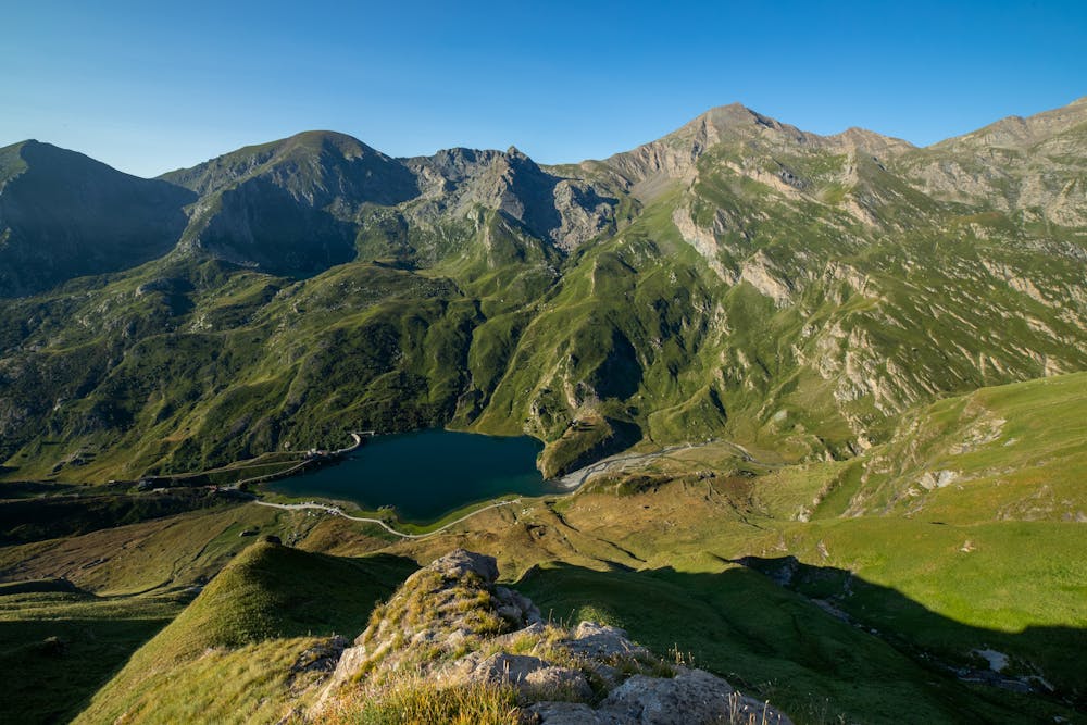
Beautiful route from Lago di Malciaussia to Laghi and Colle dell'Autaret. From the Colle, border line between Italy and France, it is possible to reach the top of Punta Costan (3305mslm). Wild hiking.
Difficulty
Severe
Hiking challenging trails where simple scrambling, with the occasional use of the hands, is a distinct possibility. The trails are often filled with all manner of obstacles both small and large, and the hills are very steep. Obstacles and challenges are often unexpected and can be unpredictable.
High Exposure

Some trail sections have exposed ledges or steep ascents/descents where falling could cause serious injury.
Remoteness
Little chance of being seen or helped in case of an accident.
Best time to visit
Features
- Alpine
- Summit Hike
- Wild flowers