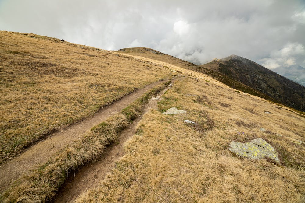
Monte Soglio
Charbonnel Group
Easy trip to reach Monte Soglio
Hiking Easy
- Distance
- 12 km
- Ascent
- 979 m
- Descent
- 979 m
- Duration
- 3-4 hrs
- Low Point
- 1 km
- High Point
- 2 km
- Gradient
- 14˚

This is a popular hiking route which is generally considered to be easy. It's remote, it features low exposure and is typically done between February and November. From a low point of 1 km to the maximum altitude of 2 km, the route covers 12 km, 979 vertical metres of ascent and 979 vertical metres of descent.

- •
- •
- •
Description
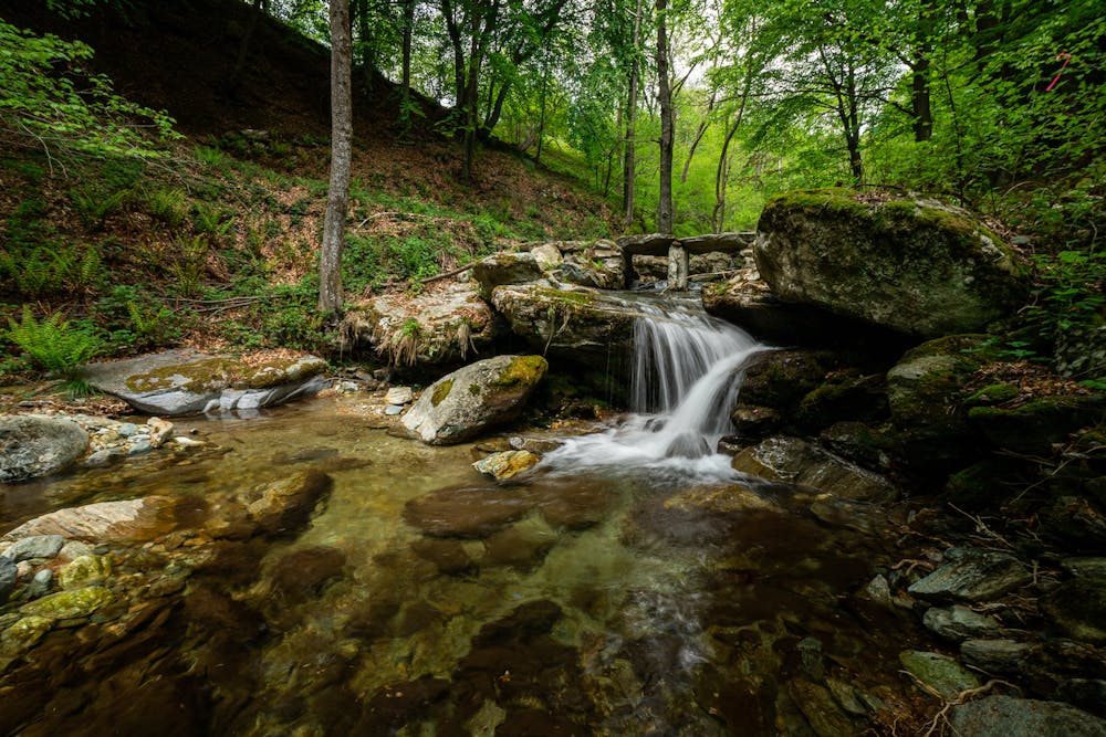
Easy and classical route of Alta Valle Malone to reach the top of Monte Soglio, dominating the Canavese. In May it is possible to see wide flowering of daffodils.
Difficulty
Easy
Walking along a well-kept trail that’s mostly flat. No obstacles are present.
Low Exposure

The path is on completely flat land and potential injury is limited to falling over.
Remoteness

Away from help but easily accessed.
Best time to visit
Features
- Alpine
- Summit Hike
- Dog friendly
- Wild flowers