Olimpica
Pragelato
Via Lattea
La Pista Olimpica si sviluppa per 10,6 Km si parte da un'altitudine di 1545 s.l.m. fino a raggiungere nel suo punto più alto quota 1623 s.l.m.con un dislivello complessivo di 258 m.
Ski Touring Difficult
- Distance
- 17 km
- Ascent
- 534 m
- Descent
- 503 m
- Duration
- 5-6 hrs
- Low Point
- 1.5 km
- High Point
- 1.6 km
- Gradient
- 10˚
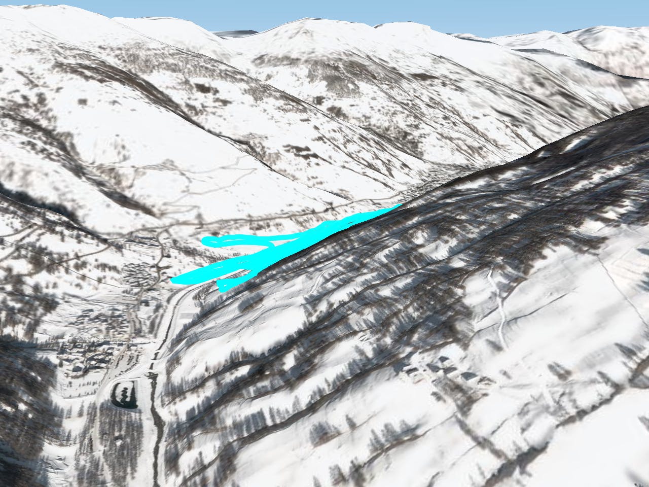
This is a popular ski touring route which is generally considered to be difficult. It's an unknown remoteness, it features unknown exposure and is typically done in an unknown time of year. From a low point of 1.5 km to the maximum altitude of 1.6 km, the route covers 17 km, 534 vertical metres of ascent and 503 vertical metres of descent.
Description
Difficulty
Difficult
Serious gradient of 30-38 degrees where a real risk of slipping exists.