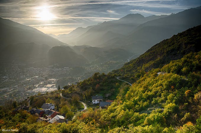
5 routes · Hiking
The 52nd and final stage of Grande Traversate delle Alpi (GTA), the famous long-distance hiking trail across the Italian Alps.
Hiking Difficult

This is a challenging 15km hike with lots of ups and downs along stunning high valleys only accessible by foot. You will walk through shady forests, past the tranquil lake Lago del Bianco, and on up to the Pian d'Erbiol.
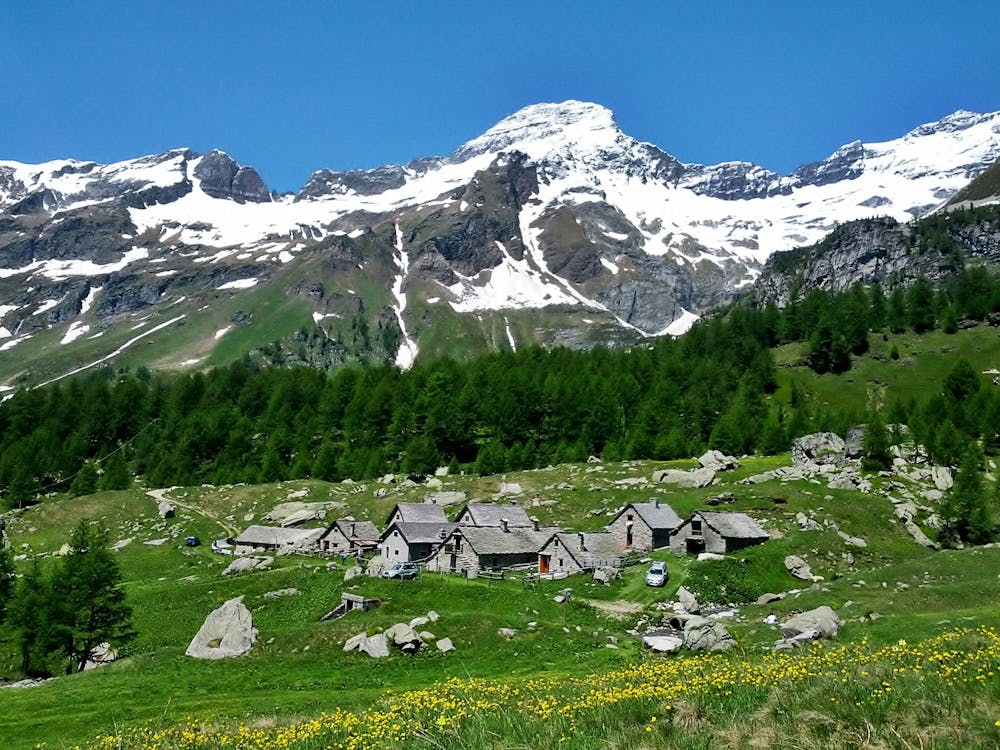
Carry on past the Pian Sass Mor Valley, coming on to the Alpe Veglia trail, which will lead you steeply up, scrambling over rocks and even perhaps a snowfield to Passo di Valtendra (2431m).
From the pass, head towards the often dried out lake Lago d'Orogna. Climb up to Scatta d'Orogna (2461m), and after you have caught your breath, begin the descent across very rocky terrain. The path follows the course of a stream, taking you to Alpe Buscagna Inferiore and then on to Alpe Devero.
Sources https://gta-trek.eu/index.php/gps-tracks/files/file/69
Difficult
Hiking trails where obstacles such as rocks or roots are prevalent. Some obstacles can require care to step over or around. At times, the trail can be worn and eroded. The grade of the trail is generally quite steep, and can often lead to strenuous hiking.

The trail contains some obstacles such as outcroppings and rock which could cause injury.
Away from help but easily accessed.
5 routes · Hiking