5 routes · Hiking
Day 44 of Grande Traversate delle Alpi (GTA), the famous long-distance hiking trail across the Italian Alps.
Hiking Moderate

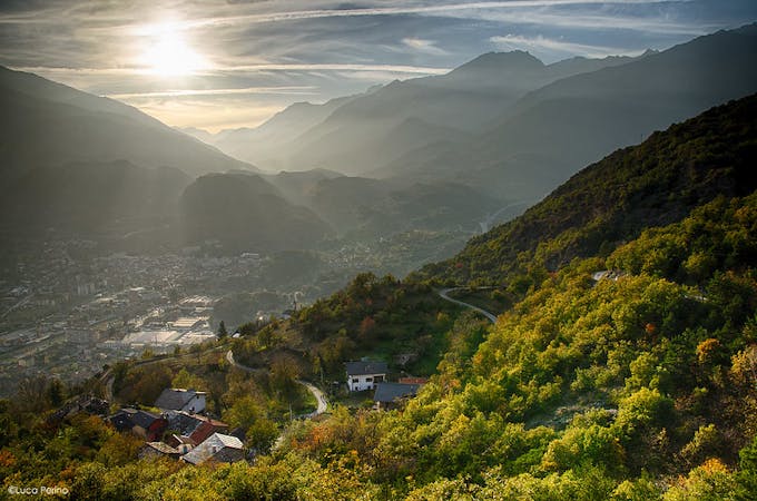
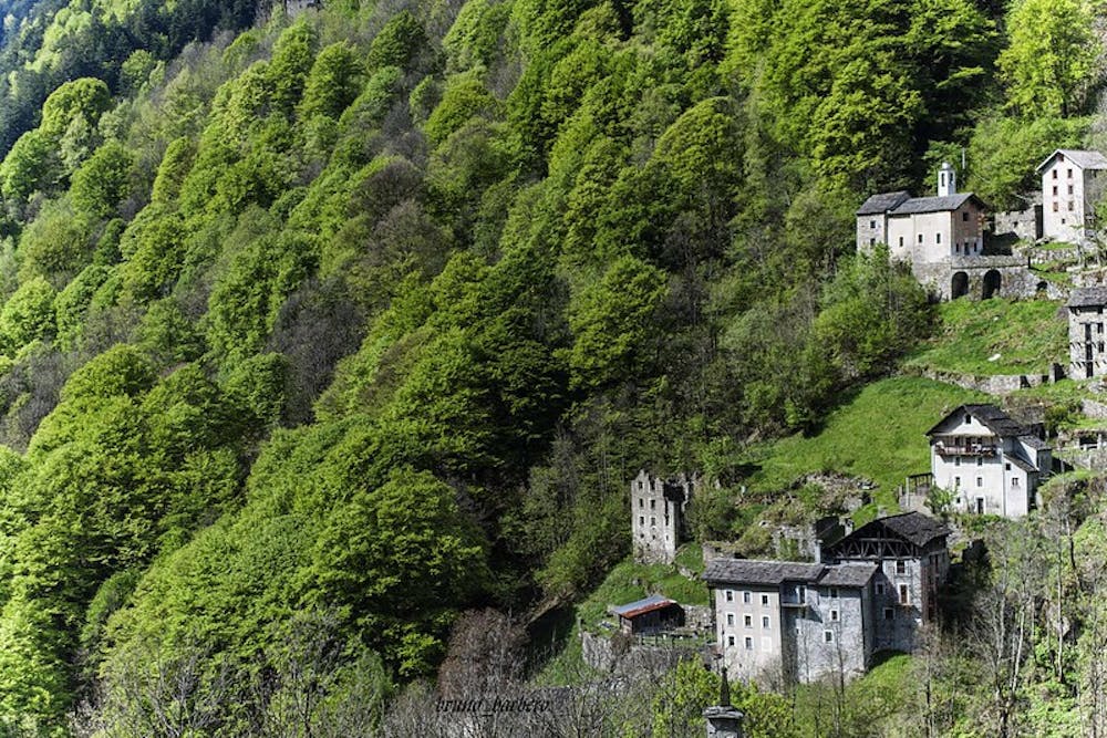
Leaving the small picturesque border town of Santa Maria Maggiore, carry along the Swiss Italian border for a while, following the road past La Piana. Turn left after Villa Musy, climbing up in the direction of Riva, and then on to Belvedere at 1208m. Keep on climbing up to a small chapel and La Res, along the path 525. The path takes you on a winding journey through gentle mountain pastures and emerald forests to the fantastically beautiful Roncaccio Inferiore hamlet. Follow a dusty old track down to the main road, which you need to continue on for a little while as it climbs up to Rimella (Chiesa).
Moderate
Hiking along trails with some uneven terrain and small hills. Small rocks and roots may be present.

The trail contains some obstacles such as outcroppings and rock which could cause injury.
Away from help but easily accessed.
5 routes · Hiking