5.2 km away
Monte Rosa Haute Route: Margherita Hut and the Grenz Glacier
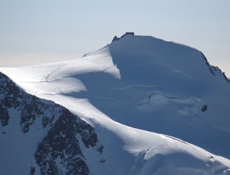
Day 4: Margherita Hut and the Grenz Glacier, beginning at Gnifettti Hut and ending at Neue Monte Rosa Hut
Difficult Ski Touring
- Distance
- 12 km
- Ascent
- 1 km
- Descent
- 1.8 km
Beautiful descent in a wide gully ending at the Gabiet lake - good for a short day off-piste.
Also in Aoste, Italy
Ski Touring Difficult
This is the perfect route at the end of the day with the last rays of sunshine lighting up your path, or great for a short day out.
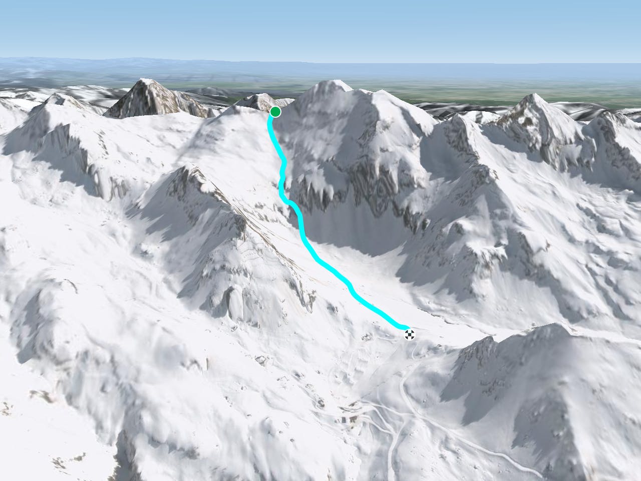
From the top station of Passo Salati follow the Salati piste to the end of the first flat road, after the first steep section. Head off-piste on the left side of the piste, under the north face of the Corno Rosso. At the end of a long traverse you will start to climb along a narrow valley, after the first steep part you will arrive in a flat area and be able to see the Passo Zube. From this point the Civera pass is also visible on the right side of the Zube pass. Traverse to the right (south) going up and keeping near to the rock barrier, the last few meters to the pass are quite steep (this climb will take approximately one hour). From the pass, the descent towards the Gabiet lake is on a wide, playful slope. You can then enter a nice gully between some rocks, ending in a wide, open slope that sweeps down towards the lake. At this point you are back in the resort and at the middle station, Gabiet.
Difficult
Serious gradient of 30-38 degrees where a real risk of slipping exists.

Exposure is limited to that of the slope itself. Getting hurt is still likely if the slope is steep and/or the snow is hard.

Little chance of being seen or helped in case of an accident.
5.2 km away
Day 4: Margherita Hut and the Grenz Glacier, beginning at Gnifettti Hut and ending at Neue Monte Rosa Hut
Difficult Ski Touring
7.5 km away

One of the most aesthetic couloirs on this side of the mountain
Severe Ski Touring
8 km away
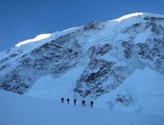
Day 3: Traverse of Passo del Naso of Lyskamm and summit of Pyramid Vincent, beginning at Rifugio Quintino Sella and ending at Capanna Gnifetti.
Severe Ski Touring
8.1 km away
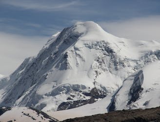
Venture up Switzerland’s famously treacherous Liskamm 4000er, affectionately nicknamed the “people eater”.
Severe Ski Touring

5 routes · Ski Touring

16 routes · Ski Touring