Vajtao Valdrita
Trentino-Alto Adige
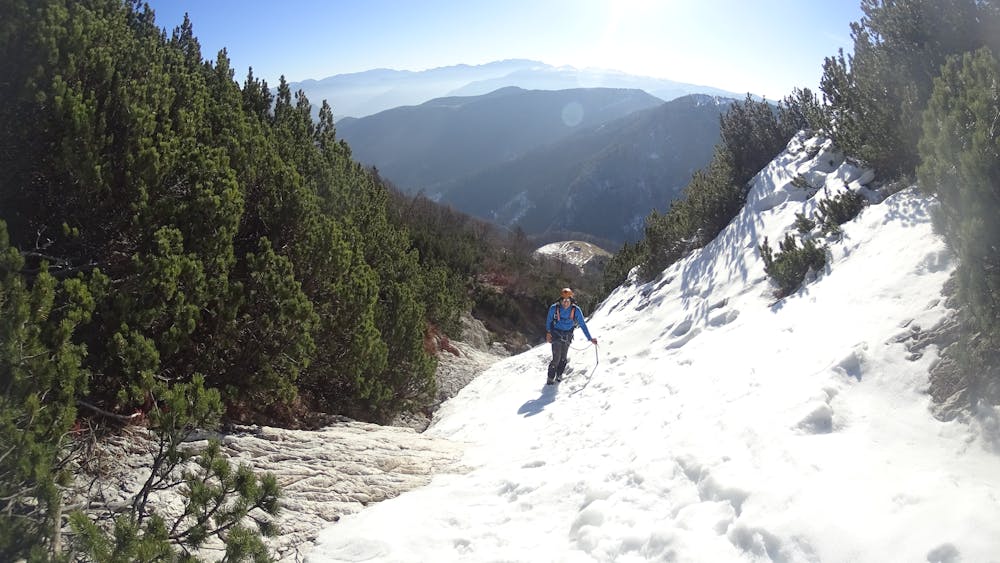
Vajio Valdritta Winter Ascent
Alpine Climbing Moderate
- Distance
- 8.4 km
- Ascent
- 851 m
- Descent
- 867 m
- Low Point
- 1.4 km
- High Point
- 2.2 km
- Gradient
- 35˚

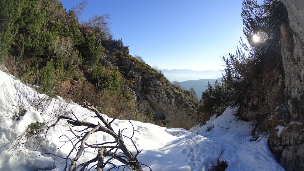
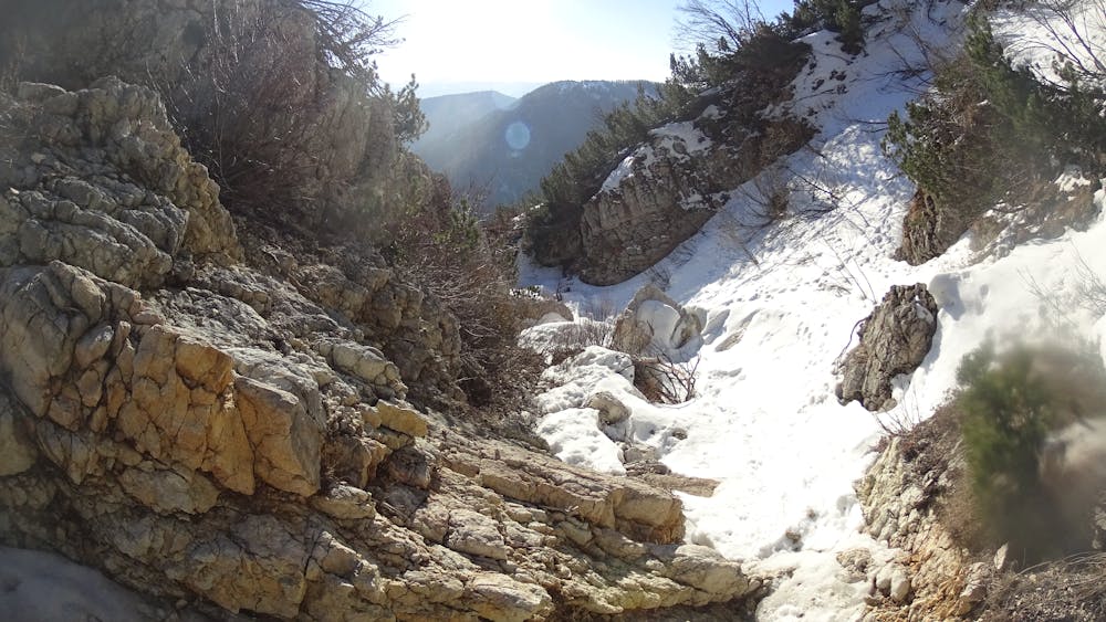
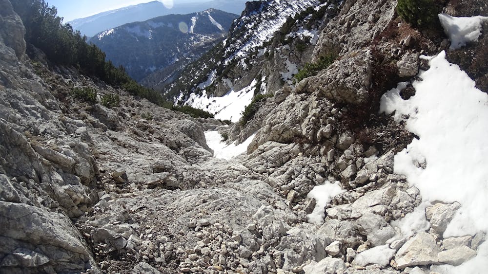
This is a popular alpine climbing route which is generally considered to be moderate. It's not remote, it features medium exposure and is typically done between December and March. From a low point of 1.4 km to the maximum altitude of 2.2 km, the route covers 8.4 km, 851 vertical metres of ascent and 867 vertical metres of descent.
- •
- •
- •
- •
Description
Vajio Valdritta Winter Ascent
Difficulty
Moderate
May involve slightly more complex glacier hikes, easy but possibly long rock ridges and steep snow up to 45 degrees. Equivalent to PD, PD+
Medium Exposure

The route features some exposed and/or difficult to protect sections.
Remoteness

Close to help in case of emergency.