Freeride Passo Cavallo
Trentino-Alto Adige
easy and short freeride from the old Italia/Austria border
Freeride Skiing Easy
- Distance
- 992 m
- Ascent
- 18 m
- Descent
- 179 m
- Low Point
- 1.4 km
- High Point
- 1.6 km
- Gradient
- 22˚

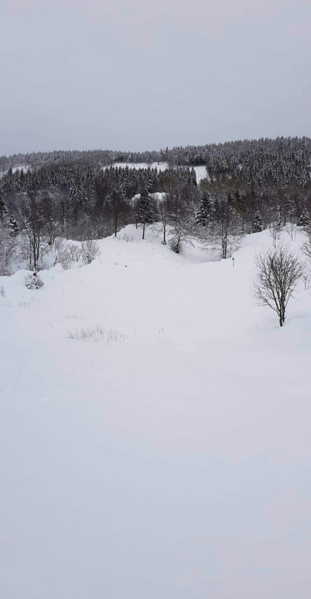
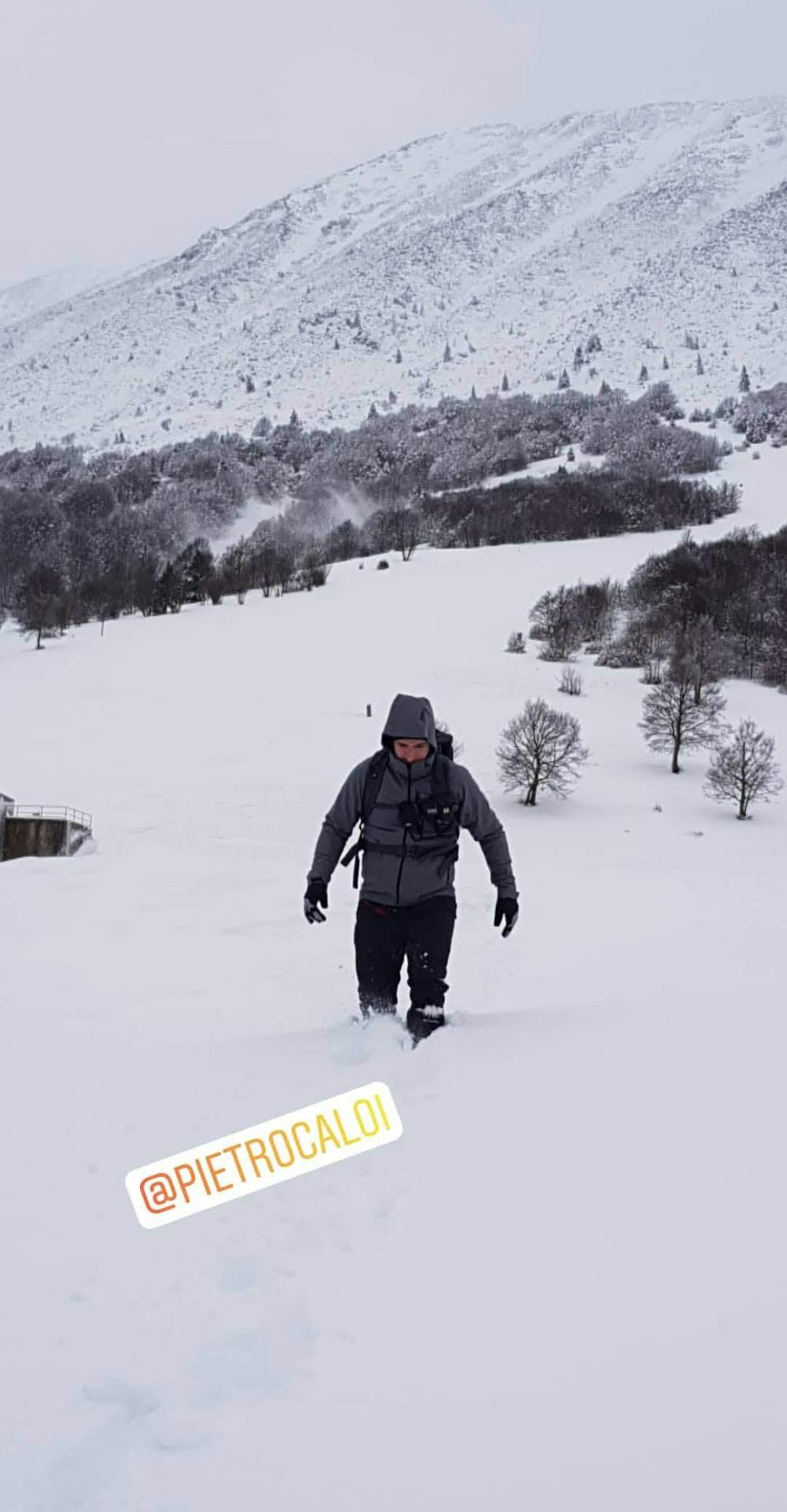
From Passo Cavallo follow the path upway on the East untill you reach the edge of the mountain. Start the discent from the top to the bottom. The discent begin with openspaces and finish in the forest. There isn't a specific line to follow. When you reach the bottom of the mountainside you must go back to Passo Cavallo by walking
- •
- •
Difficulty
Easy
Wide gentle slopes at around 20 degrees or less.
Low Exposure (E1)

Exposure is limited to that of the slope itself. Getting hurt is still likely if the slope is steep and/or the snow is hard.
Remoteness

Away from help but easily accessed.
Best time to visit
Features
- Trees
- Walk Required
Equipment required
- Skins