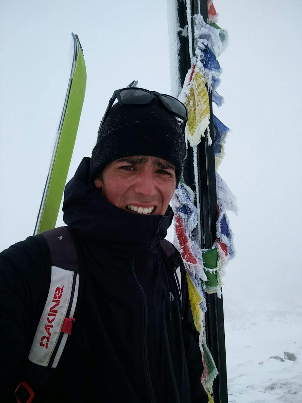
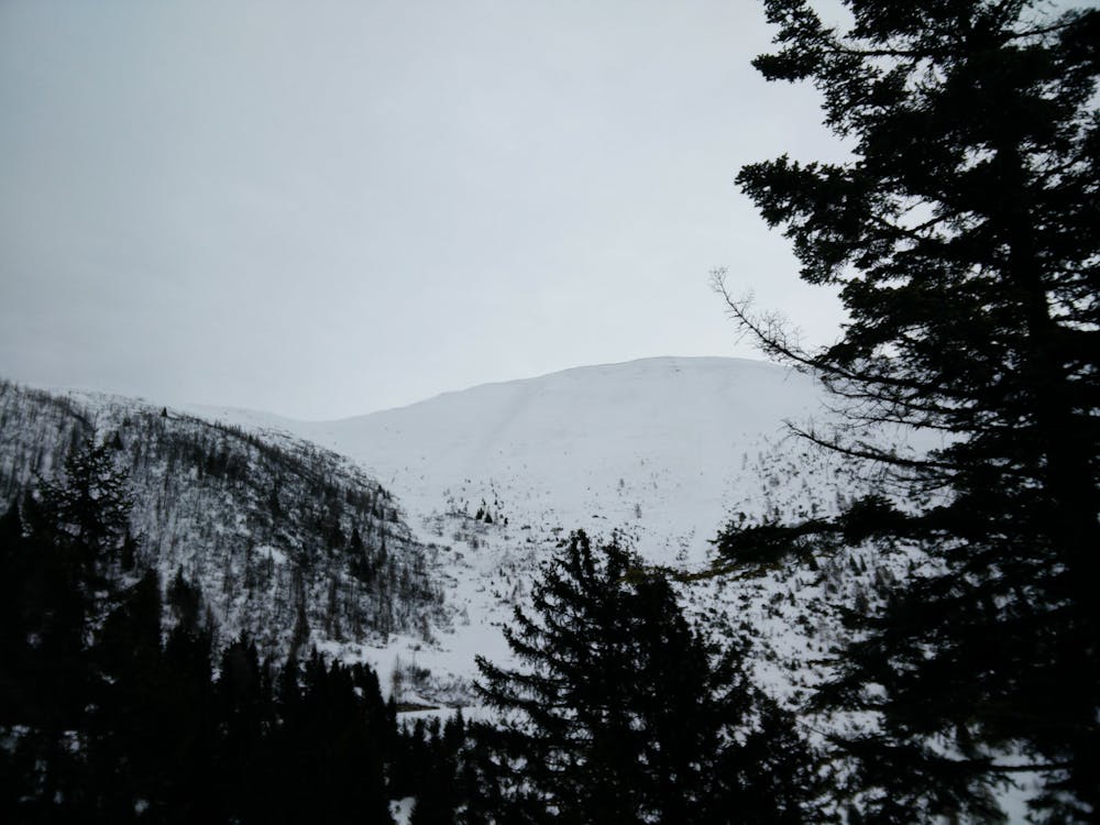
Cima Portule
Trentino-Alto Adige
Altopiano di Asiago dei 7 Comuni
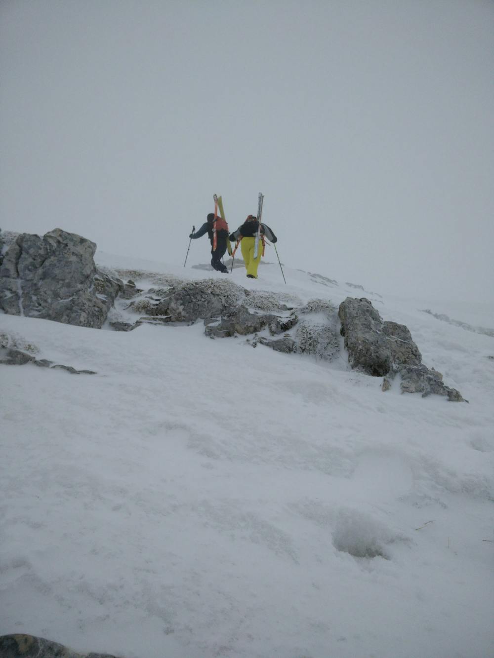
Classic up by the steep west face. With hard snow could be tricky.
Ski Touring Moderate
- Distance
- 8.7 km
- Ascent
- 742 m
- Descent
- 743 m
- Duration
- 4-5 hrs
- Low Point
- 1.6 km
- High Point
- 2.3 km
- Gradient
- 32˚

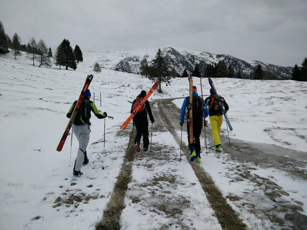
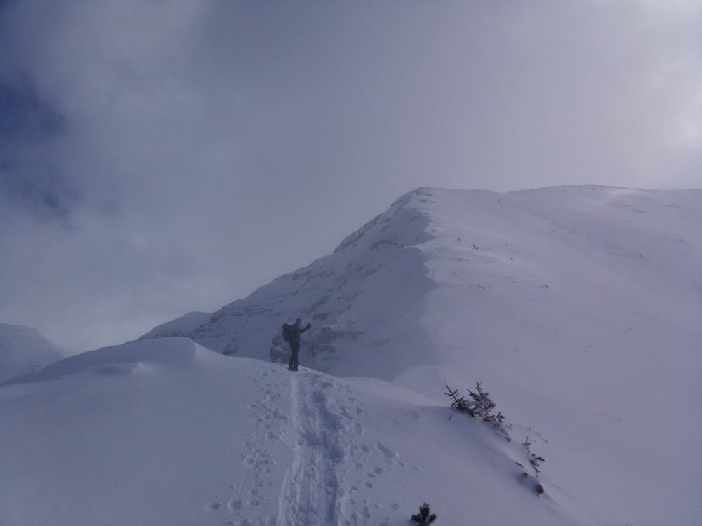
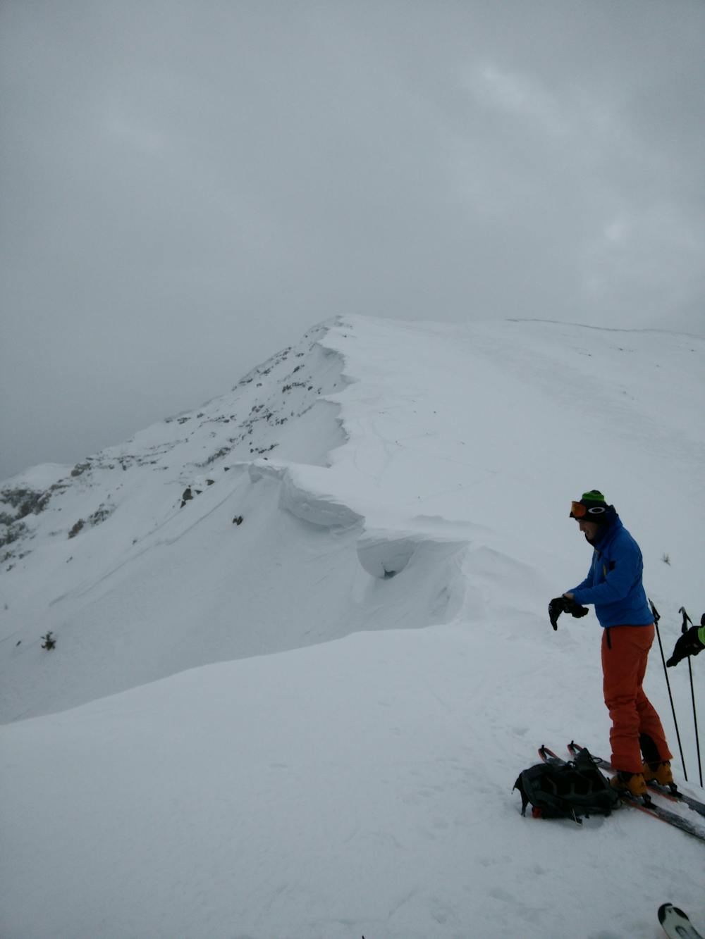
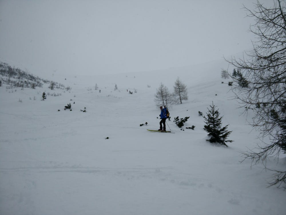
Classic ascent to Cima Portule by the west face. Once you left the car a road will bring you at the base of the mountain. The first part you have to make your way across some bushes, then stay on the left of the face till the ridge. Then continue on the right to the summit. if you find hard snow on the bottom part watch out cause during the ascent (especially when you reach the ridge under the summit) you will probably find some ice. choose your line the way down and have fun.
- •
- •
- •
- •
- •
- •
- •
Difficulty
Moderate
Slopes become slightly steeper at around 25-30 degrees.
Low Exposure (E1)

Exposure is limited to that of the slope itself. Getting hurt is still likely if the slope is steep and/or the snow is hard.
Remoteness
Close to help in case of emergency.
Best time to visit
Equipment required
- Skins
- Crampons