20240208八方尾根Sidecountry
Hakuba
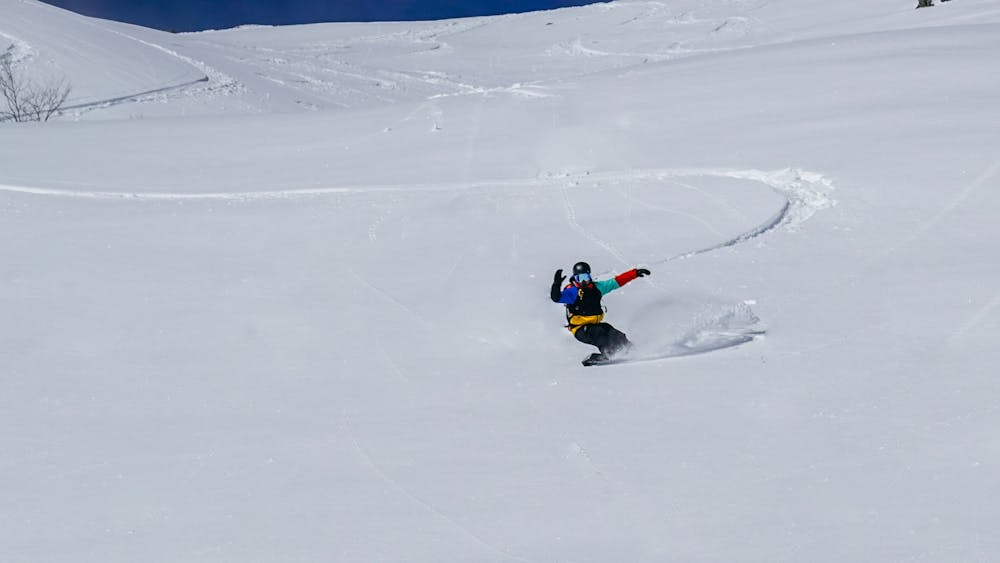
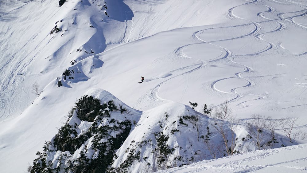
sidecountry route, easy to hike even can do it without AT gears, a car will be needed to pickup in the end
Ski Touring Moderate
- Distance
- 18 km
- Ascent
- 1.5 km
- Descent
- 1.5 km
- Duration
- 1 day +
- Low Point
- 724 m
- High Point
- 2.1 km
- Gradient
- 29˚

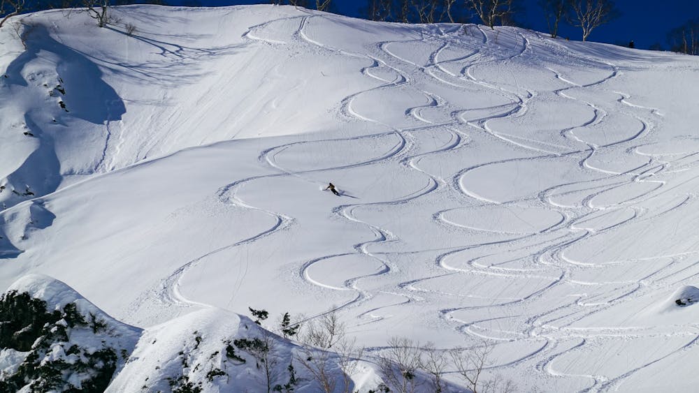
This is a popular ski touring route which is generally considered to be moderate. It's remote, it features medium exposure (e2) and is typically done between January and March. From a low point of 724 m to the maximum altitude of 2.1 km, the route covers 18 km, 1515 vertical metres of ascent and 1518 vertical metres of descent. It's graded 2.2 and Labande grade 3. You'll need skins to complete it safely.
- •
- •
- •
- •
- •
Description
HappOne sidecountry route, easy to hike even can do it without AT gears, a car will be needed to pickup in the end
Difficulty
Moderate
Slopes become slightly steeper at around 25-30 degrees.
Medium Exposure (E2)

As well as the slope itself, there are some obstacles (such as rock outcrops) which could aggravate injury.
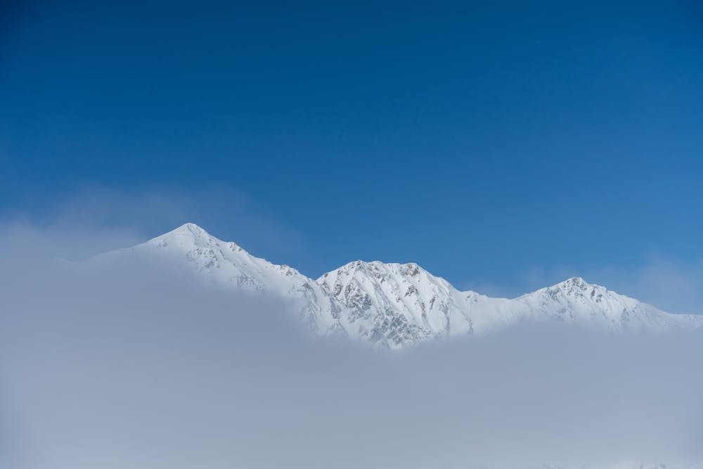
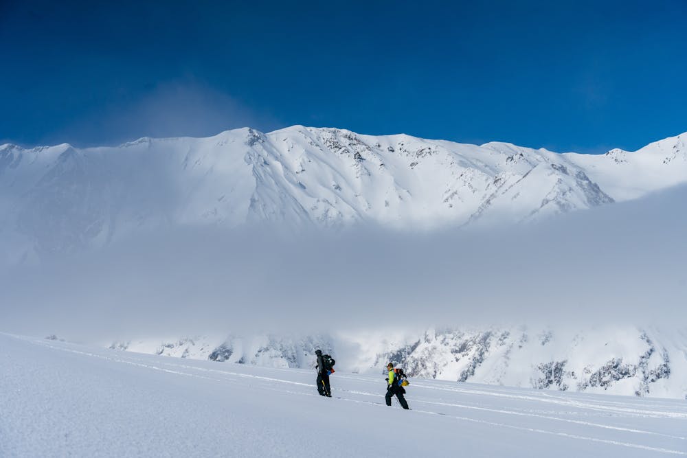
Remoteness
Away from help but easily accessed.
Best time to visit
Features
- Single Descent
Equipment required
- Skins