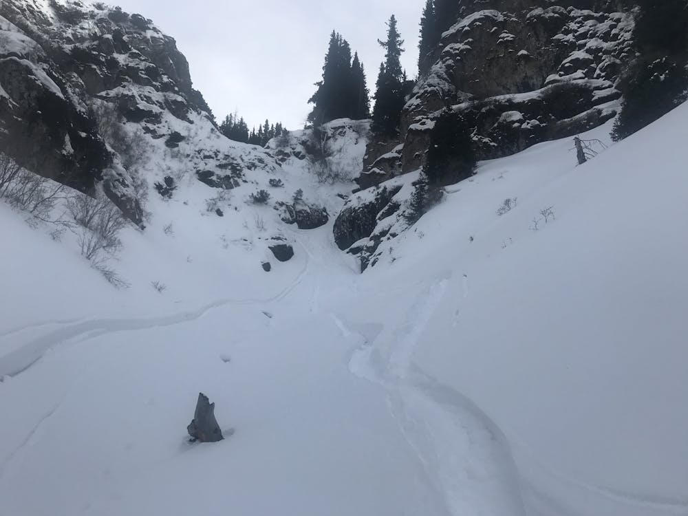
Colour icy
Great colour with 2 narrow steep icy sections
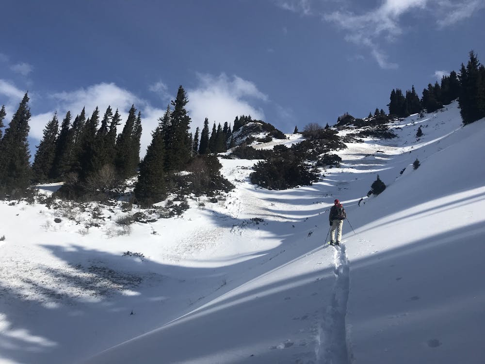
Ski Touring Difficult
- Distance
- 4.8 km
- Ascent
- 521 m
- Descent
- 568 m
- Duration
- 2-3 hrs
- Low Point
- 2.3 km
- High Point
- 2.8 km
- Gradient
- 31˚

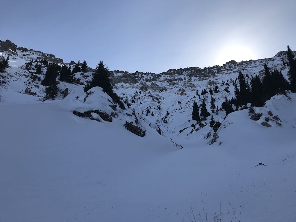
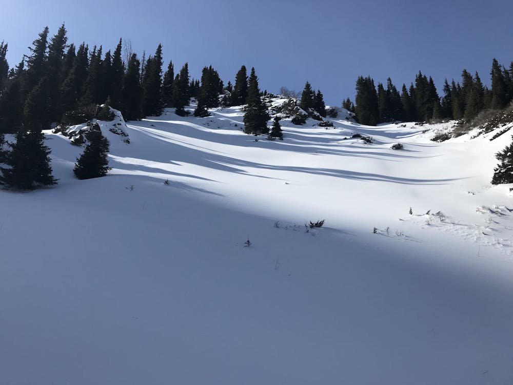
This is a popular ski touring route which is generally considered to be difficult. It's very remote, it features medium exposure (e2) and is typically done between December and March. From a low point of 2.3 km to the maximum altitude of 2.8 km, the route covers 4.8 km, 521 vertical metres of ascent and 568 vertical metres of descent. It's graded 3.1 and Labande grade 4. You'll need rope, skins, ice axe and crampons to complete it safely.
- •
- •
- •
- •
Description
On ascent one needs ice axe to climb 4-5m icy waterfall
Difficulty
Difficult
Serious gradient of 30-38 degrees where a real risk of slipping exists.
Medium Exposure (E2)

As well as the slope itself, there are some obstacles (such as rock outcrops) which could aggravate injury.
Remoteness

Little chance of being seen or helped in case of an accident.
Best time to visit
Features
- Cliffs
- Couloir
- Ski Mountaineering
Equipment required
- Rope
- Skins
- Ice axe
- Crampons