Easy pass
Optimal when high avalanche risk
Ski Touring Moderate
- Distance
- 6.2 km
- Ascent
- 703 m
- Descent
- 698 m
- Duration
- 3-4 hrs
- Low Point
- 2.3 km
- High Point
- 2.8 km
- Gradient
- 36˚

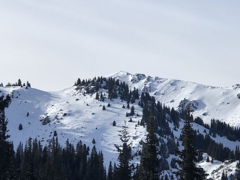
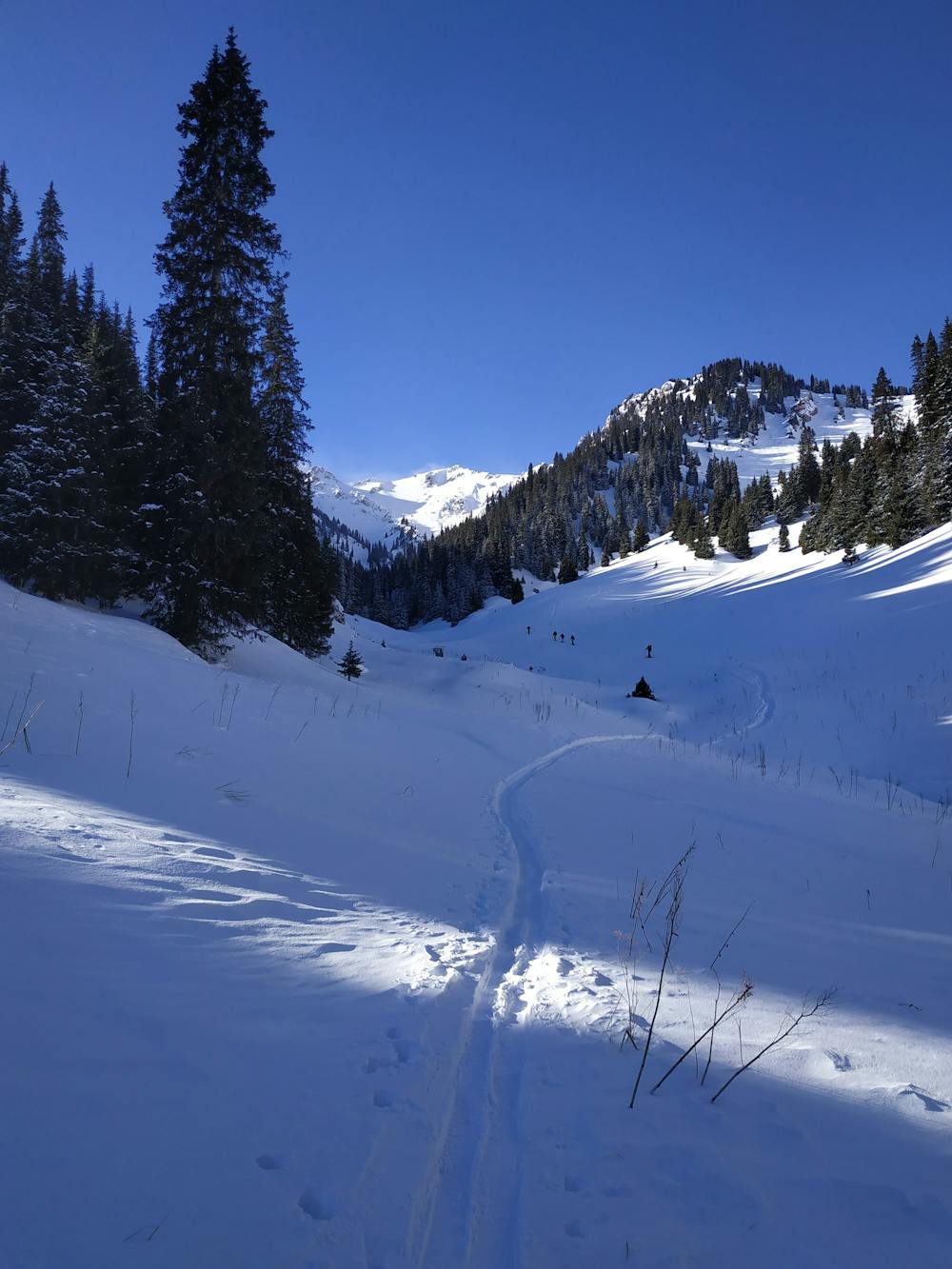
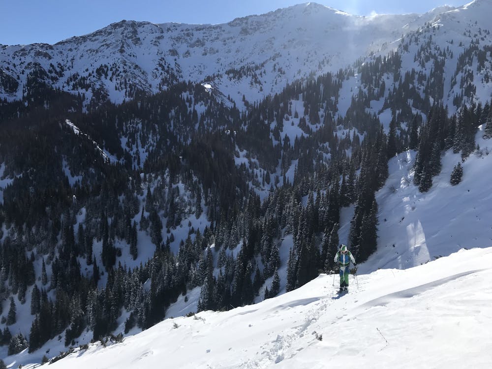
This is a popular ski touring route which is generally considered to be moderate. It's very remote, it features low exposure (e1) and is typically done between December and March. From a low point of 2.3 km to the maximum altitude of 2.8 km, the route covers 6.2 km, 703 vertical metres of ascent and 698 vertical metres of descent. It's graded 1.3 and Labande grade 2. You'll need skins to complete it safely.
- •
- •
- •
Description
Optimal when high avalanche risk to ski from the pass. If there is a lot of snow to get to the ridge can take about 1 hour.
Difficulty
Moderate
Slopes become slightly steeper at around 25-30 degrees.
Low Exposure (E1)

Exposure is limited to that of the slope itself. Getting hurt is still likely if the slope is steep and/or the snow is hard.
Remoteness

Little chance of being seen or helped in case of an accident.
Best time to visit
Features
- Bowl
Equipment required
- Skins