Get to / from Ketmen' Hut
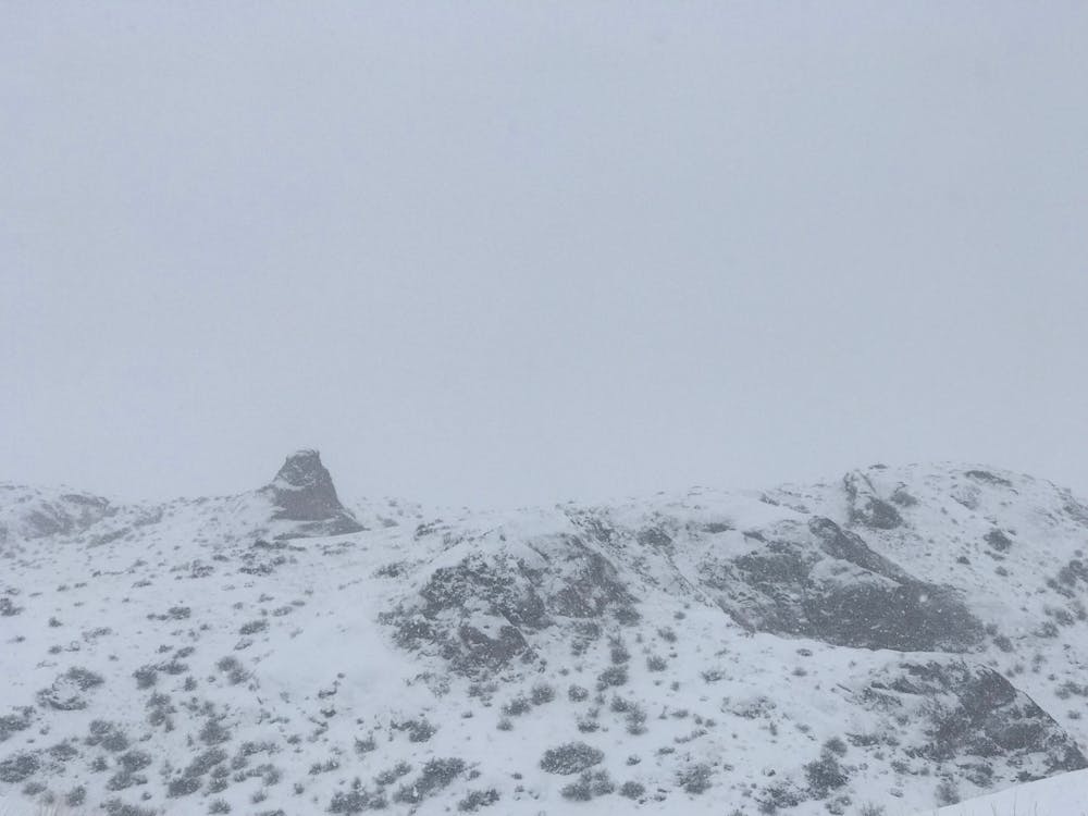
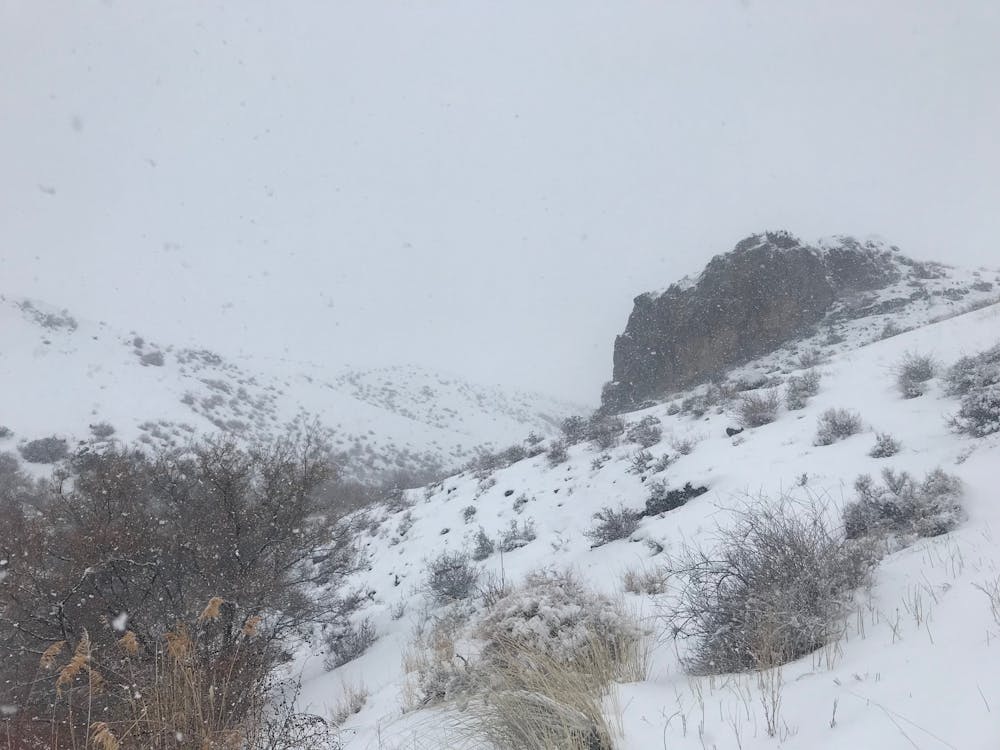
Short track to get to/from hut
Ski Touring Easy
- Distance
- 17 km
- Ascent
- 246 m
- Descent
- 1.1 km
- Duration
- 4-5 hrs
- Low Point
- 1.4 km
- High Point
- 2.3 km
- Gradient
- 10˚

This is a popular ski touring route which is generally considered to be easy. It's very remote, it features low exposure (e1) and is typically done between December and February. From a low point of 1.4 km to the maximum altitude of 2.3 km, the route covers 17 km, 246 vertical metres of ascent and 1135 vertical metres of descent. It's graded 1.1 and Labande grade 1. You'll need skins to complete it safely.
- •
- •
Description
Short track to get to/from Ketmen' hut
Difficulty
Easy
Wide gentle slopes at around 20 degrees or less.
Low Exposure (E1)

Exposure is limited to that of the slope itself. Getting hurt is still likely if the slope is steep and/or the snow is hard.
Remoteness

Little chance of being seen or helped in case of an accident.
Best time to visit
Features
- Ski Safari
Equipment required
- Skins