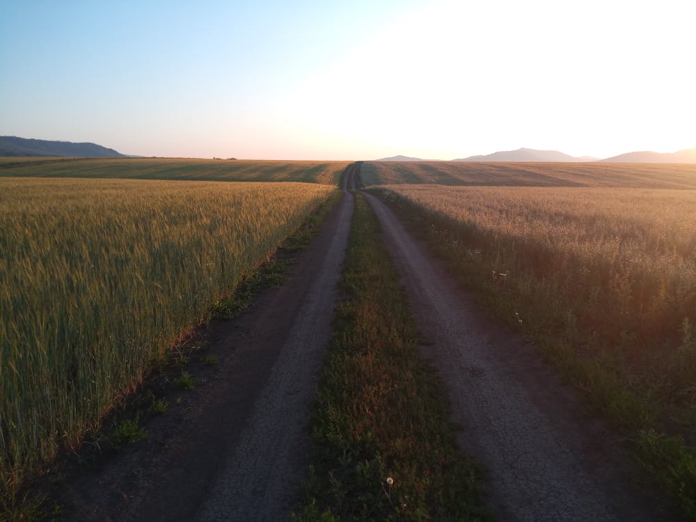
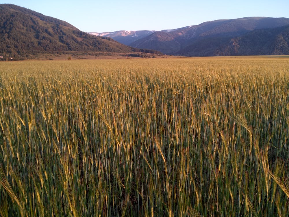
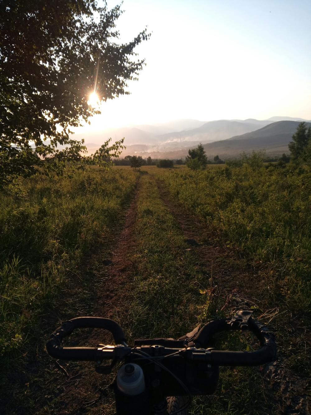
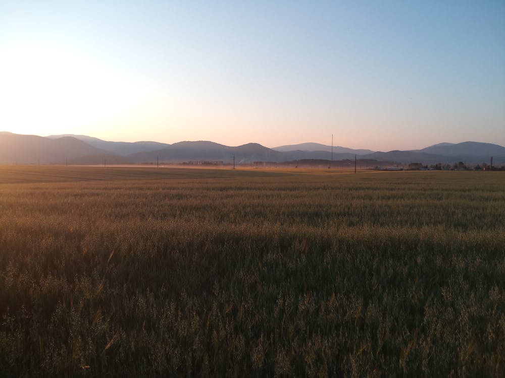
Ridder bicycle ride
bicycle 2h, 17km, 350m up/down
Mountain Biking Easy
- Distance
- 17 km
- Ascent
- 323 m
- Descent
- 327 m
- Duration
- 1-2 hrs
- Low Point
- 763 m
- High Point
- 962 m
- Gradient
- 4˚

This is a popular mountain biking route which is generally considered to be easy. It's not remote, it features medium exposure and is typically done between May and October. From a low point of 763 m to the maximum altitude of 962 m, the route covers 17 km, 323 vertical metres of ascent and 327 vertical metres of descent.
- •
- •
- •
- •
Description
Nice 2h gravel ride near the town
Difficulty
Easy
Mostly smooth and non-technical singletrack with unavoidable obstacles 2in/5cm tall or less. Avoidable obstacles may be present. Ideal for beginner riders.
Medium Exposure

The trail contains some obstacles such as outcroppings and rock which could cause injury.
Remoteness

Close to help in case of emergency.
Best time to visit
Features
- Picturesque
- Singletrack
- Road sections
- Rock Gardens