Mont Kenya, voie Chogoria - Lenana - Old Moses
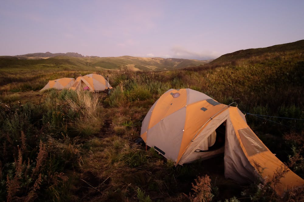
J2 camp 3300 - camp Mintos hut 4300m
Hiking Moderate
- Distance
- 10 km
- Ascent
- 1.1 km
- Descent
- 166 m
- Duration
- 3-4 hrs
- Low Point
- 3.3 km
- High Point
- 4.3 km
- Gradient
- 11˚

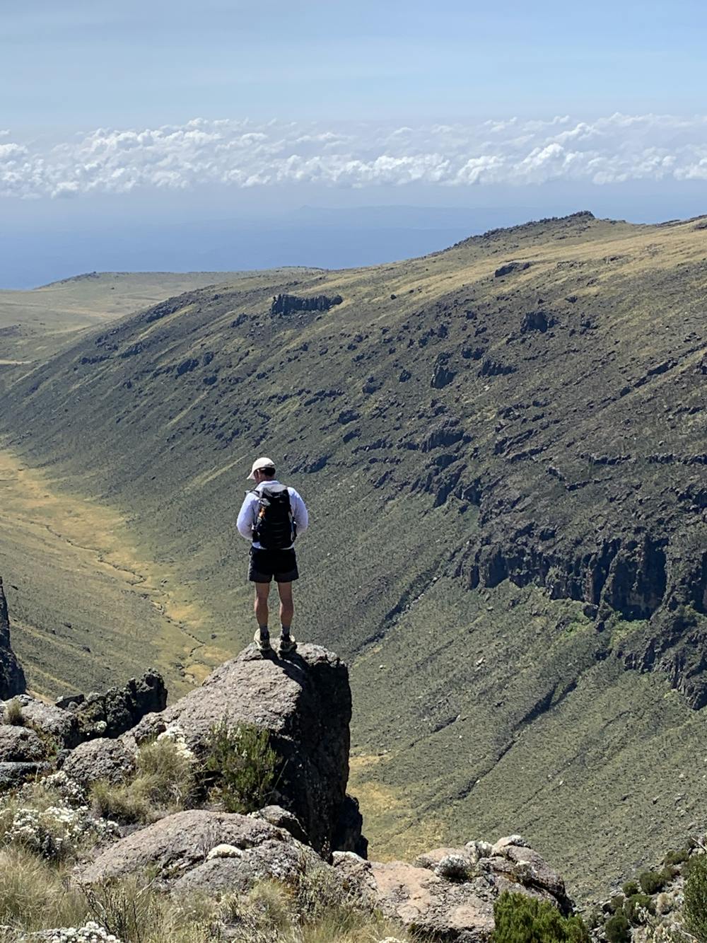
This is a popular hiking route which is generally considered to be moderate. It's very remote, it features low exposure and is typically done in January, February, July, August, September and December. From a low point of 3.3 km to the maximum altitude of 4.3 km, the route covers 10 km, 1148 vertical metres of ascent and 166 vertical metres of descent.
- •
- •
- •
- •
- •
- •
- •
- •
- •
Description
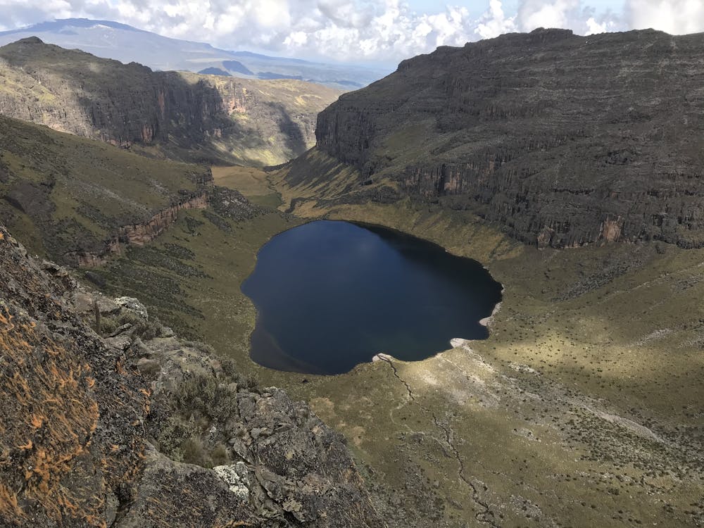
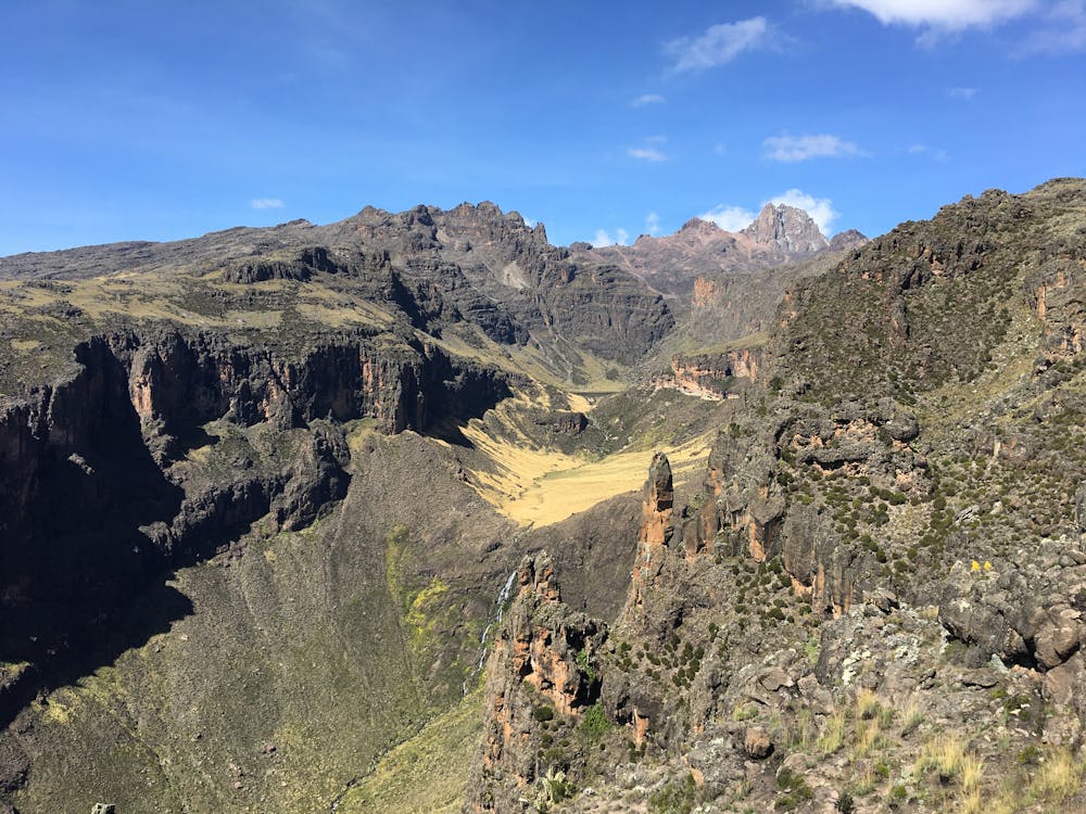
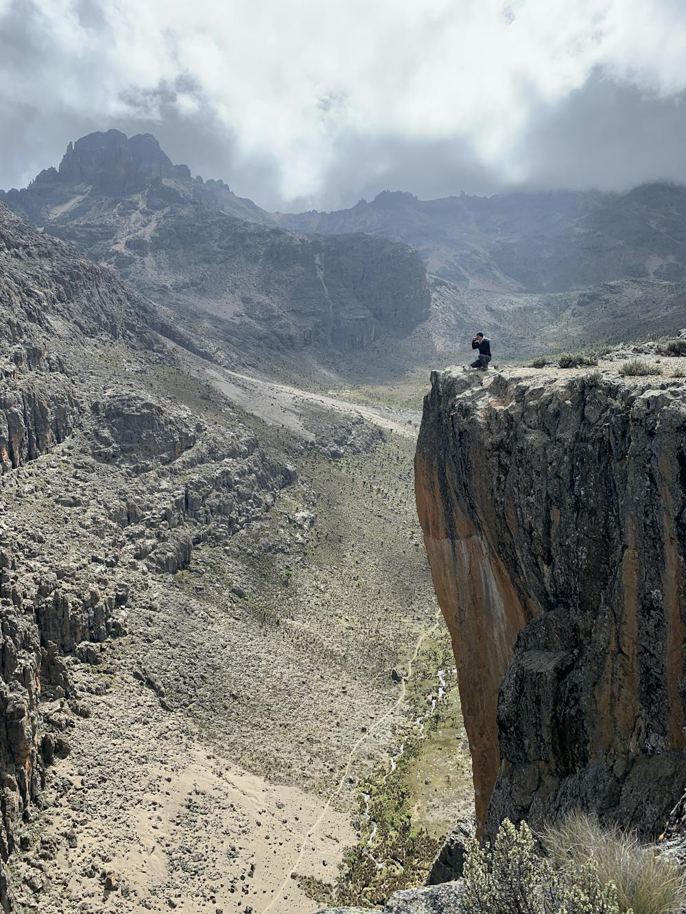
J2 : voie Chogoria - Lenana - Old Moses. La plus pittoresque, la plus belle. Entrée parc payante.
Difficulty
Moderate
Hiking along trails with some uneven terrain and small hills. Small rocks and roots may be present.
Low Exposure

The path is on completely flat land and potential injury is limited to falling over.
Remoteness

Little chance of being seen or helped in case of an accident.
Best time to visit
Features
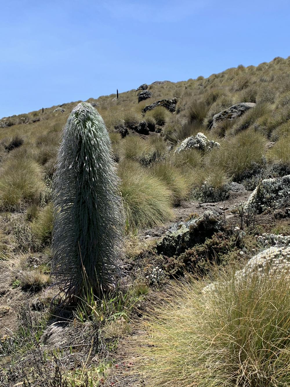
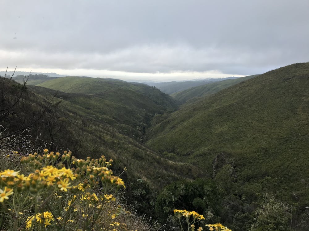
- Wildlife
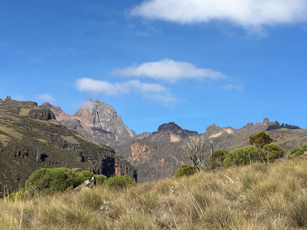
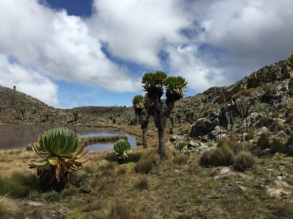
- Picturesque
- Summit Hike
- Wild flowers