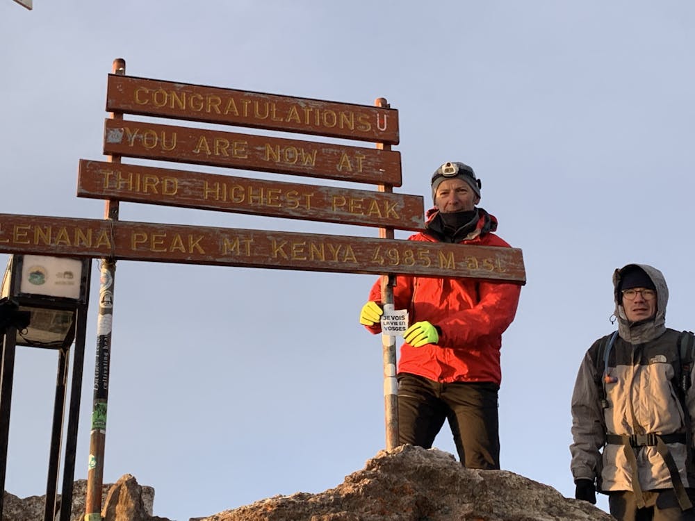
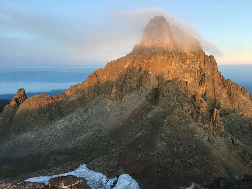
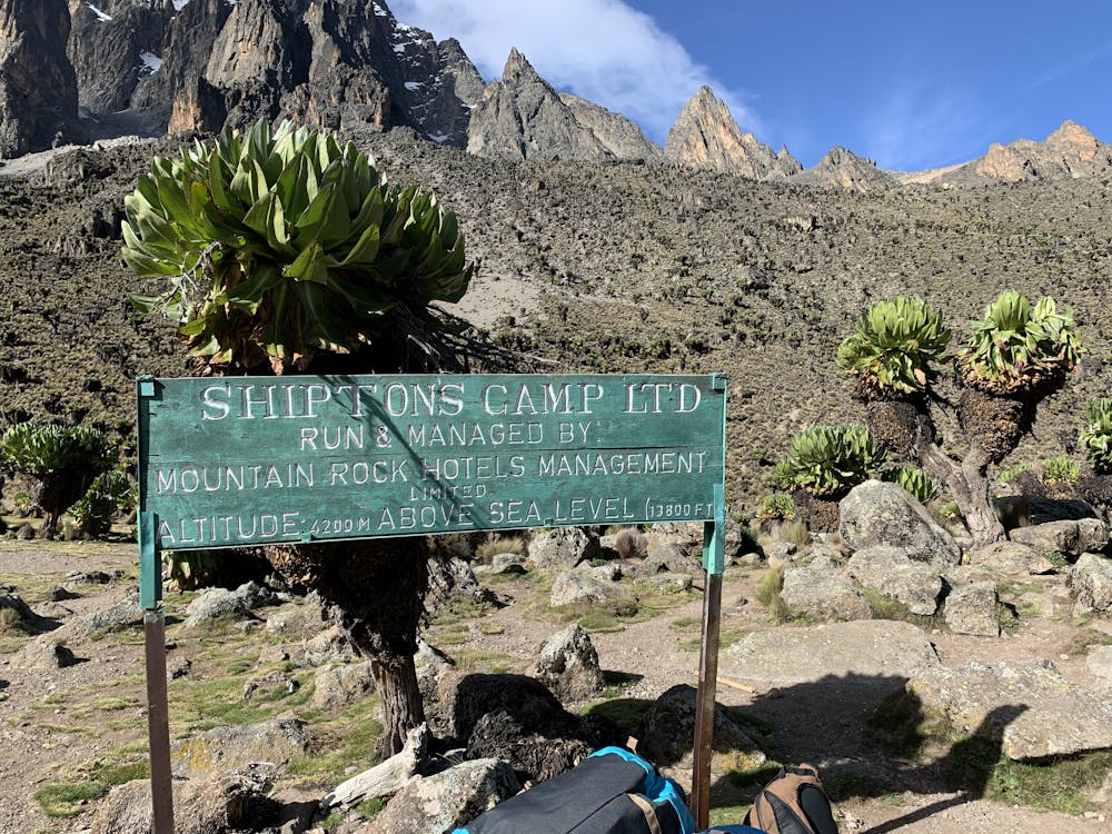
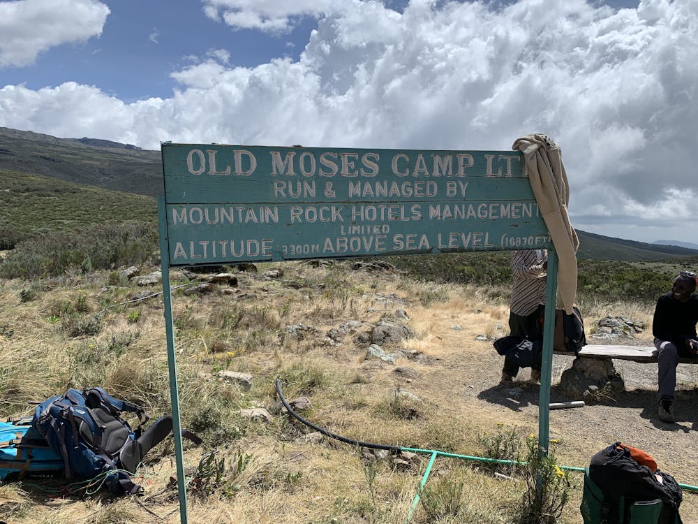
Mont Kenya, voie Chogoria - Lenana - Old Moses.
J3, Mintos Hut - Lenana - Old Moses
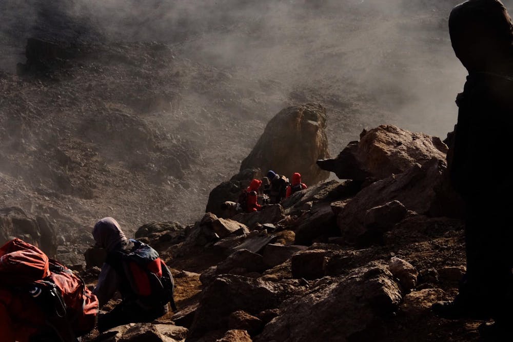
Hiking Difficult
- Distance
- 23 km
- Ascent
- 817 m
- Descent
- 1.7 km
- Duration
- 5-6 hrs
- Low Point
- 3.4 km
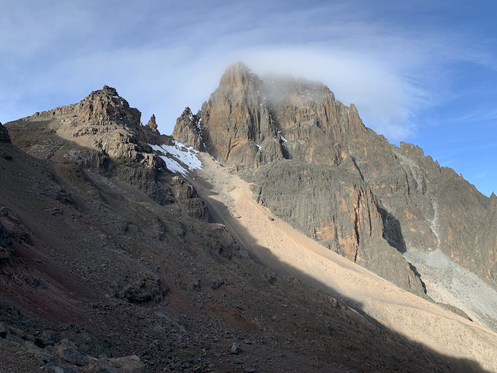
- High Point
- 4.9 km
- Gradient
- 21˚

This is a popular hiking route which is generally considered to be difficult. It's very remote, it features medium exposure and is typically done in January, February, July, August, September and December. From a low point of 3.4 km to the maximum altitude of 4.9 km, the route covers 23 km, 817 vertical metres of ascent and 1720 vertical metres of descent.
- •
- •
- •
- •
- •
- •
- •
- •
Description
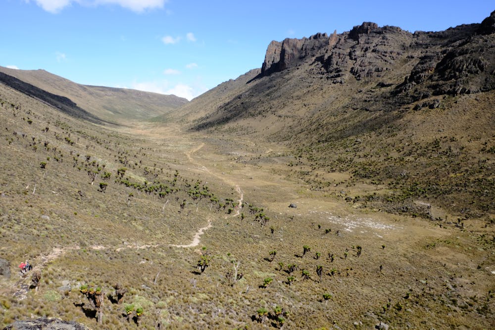
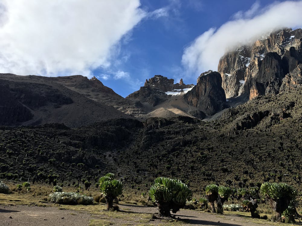
J3 : voie Chogoria - Lenana - Old Moses. La plus pittoresque, la plus belle. Entrée parc payante.
Difficulty
Difficult
Hiking trails where obstacles such as rocks or roots are prevalent. Some obstacles can require care to step over or around. At times, the trail can be worn and eroded. The grade of the trail is generally quite steep, and can often lead to strenuous hiking.
Medium Exposure

The trail contains some obstacles such as outcroppings and rock which could cause injury.
Remoteness

Little chance of being seen or helped in case of an accident.
Best time to visit
Features
- Wildlife
- Picturesque
- Summit Hike