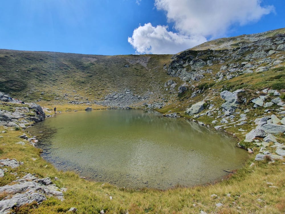
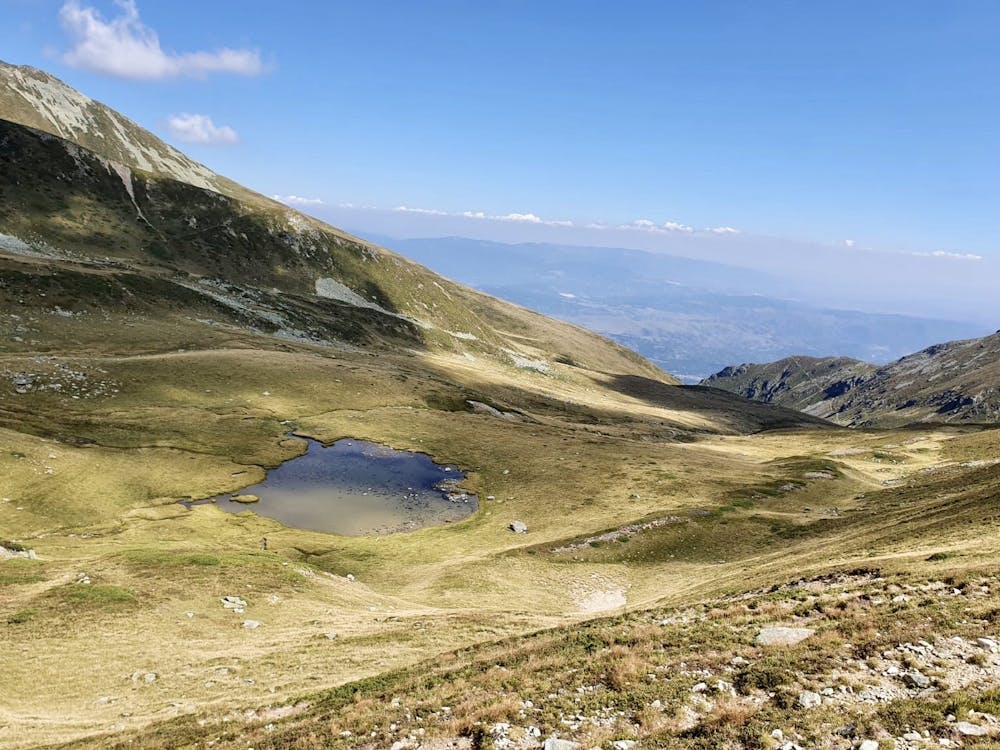
Jeloshnik - Liqenet e Dobroshtit
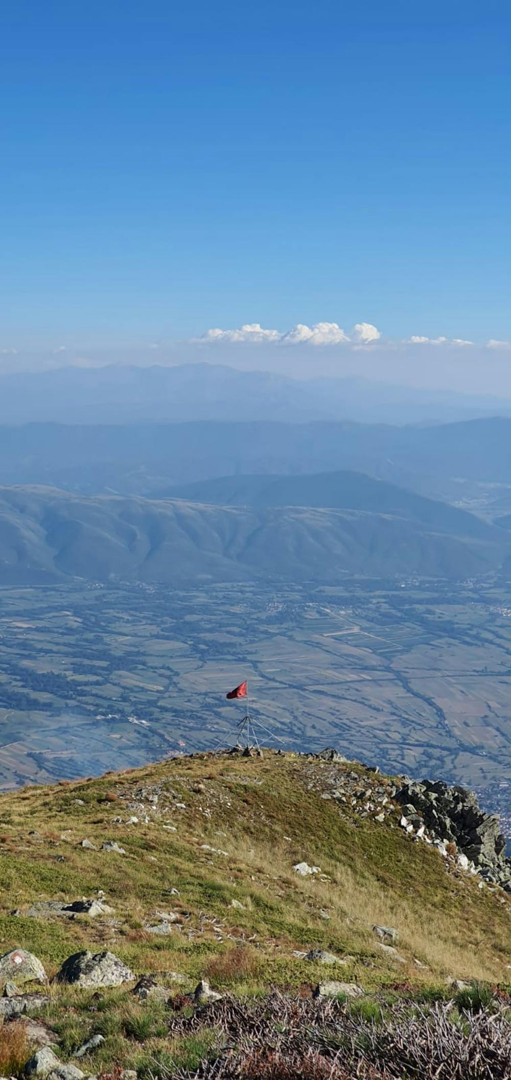
Great hike with a view of Luboten and Bistra Peak
Also in Tearce, Macedonia
Hiking Difficult
- Distance
- 12 km
- Ascent
- 1.7 km
- Descent
- 333 m
- Duration
- 5-6 hrs
- Low Point
- 919 m
- High Point
- 2.4 km
- Gradient
- 18˚

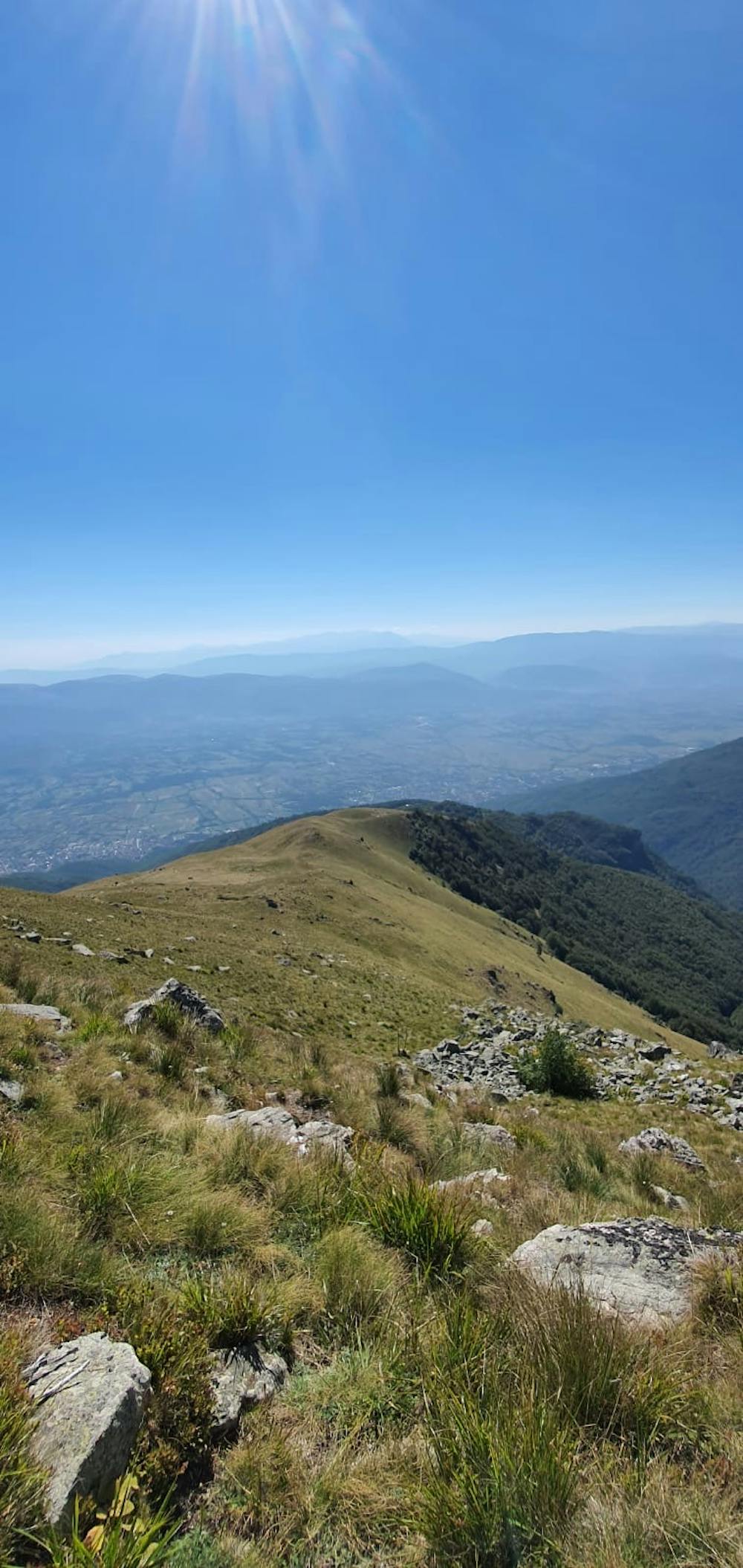
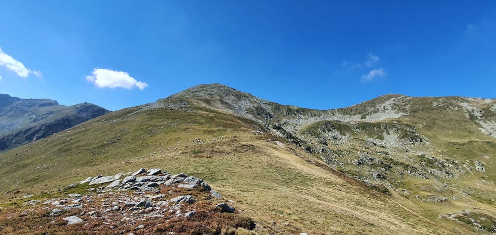
This is a popular hiking route which is generally considered to be difficult. It's remote, it features medium exposure and is typically done between March and December. From a low point of 919 m to the maximum altitude of 2.4 km, the route covers 12 km, 1740 vertical metres of ascent and 333 vertical metres of descent.
- •
- •
- •
- •
- •
Description
You can find tons of blueberry during this hike
Difficulty
Difficult
Hiking trails where obstacles such as rocks or roots are prevalent. Some obstacles can require care to step over or around. At times, the trail can be worn and eroded. The grade of the trail is generally quite steep, and can often lead to strenuous hiking.
Medium Exposure

The trail contains some obstacles such as outcroppings and rock which could cause injury.
Remoteness
Away from help but easily accessed.
Best time to visit
Features
- Alpine
- Wildlife
- Picturesque
- Summit Hike
- Dog friendly
- Wild flowers
- Water features
- Family friendly
- Forestry or heavy vegetation