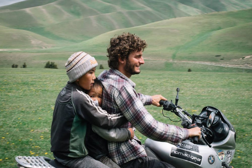
Kyrgyzstan - 4x4 & Moto - 2 weeks - OunTravela
This track has been realised by 4x4 and motorbike during 9 days and by horses during 3 days (near Son-Kul lake)! All details on https://ountravela.com/road-trip/kirghizistan/
Driving 4x4 Moderate
- Distance
- 1418 km
- Ascent
- 15 km
- Descent
- 15 km
- Low Point
- 731 m
- High Point
- 3.9 km
- Gradient
- 10˚

This is a popular driving 4x4 route which is generally considered to be moderate. It's very remote, it features unknown exposure and is typically done between June and September. From a low point of 731 m to the maximum altitude of 3.9 km, the route covers 1418 km, 14818 vertical metres of ascent and 14790 vertical metres of descent.

Description
La philosophie du petit sentier
Difficulty
Moderate
