Kizart village to Son Kul
Daily 1-way hike to Son Kul
Hiking Difficult
- Distance
- 23 km
- Ascent
- 1.3 km
- Descent
- 420 m
- Duration
- 6-7 hrs
- Low Point
- 2.2 km
- High Point
- 3.3 km
- Gradient
- 10˚

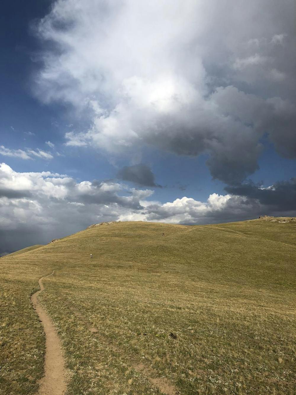
This is a popular hiking route which is generally considered to be difficult. It's remote, it features low exposure and is typically done between May and August. From a low point of 2.2 km to the maximum altitude of 3.3 km, the route covers 23 km, 1287 vertical metres of ascent and 420 vertical metres of descent.
Description
Hike arranged at nearby Kochkor. Car drop-off at Kizart village, then a daily hike to our destination yurt camp near Son Kul. Beautiful scenic panoramas all around.
Difficulty
Difficult
Hiking trails where obstacles such as rocks or roots are prevalent. Some obstacles can require care to step over or around. At times, the trail can be worn and eroded. The grade of the trail is generally quite steep, and can often lead to strenuous hiking.
Low Exposure

The path is on completely flat land and potential injury is limited to falling over.
Remoteness

Away from help but easily accessed.
Best time to visit
Features
- Picturesque