All orientation summit in Jyrgalan
First summit to do in Jyrgalan !
Ski Touring Easy
- Distance
- 8.6 km
- Ascent
- 761 m
- Descent
- 726 m
- Duration
- 4-5 hrs
- Low Point
- 2.3 km
- High Point
- 3 km
- Gradient
- 29˚

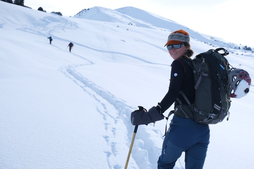
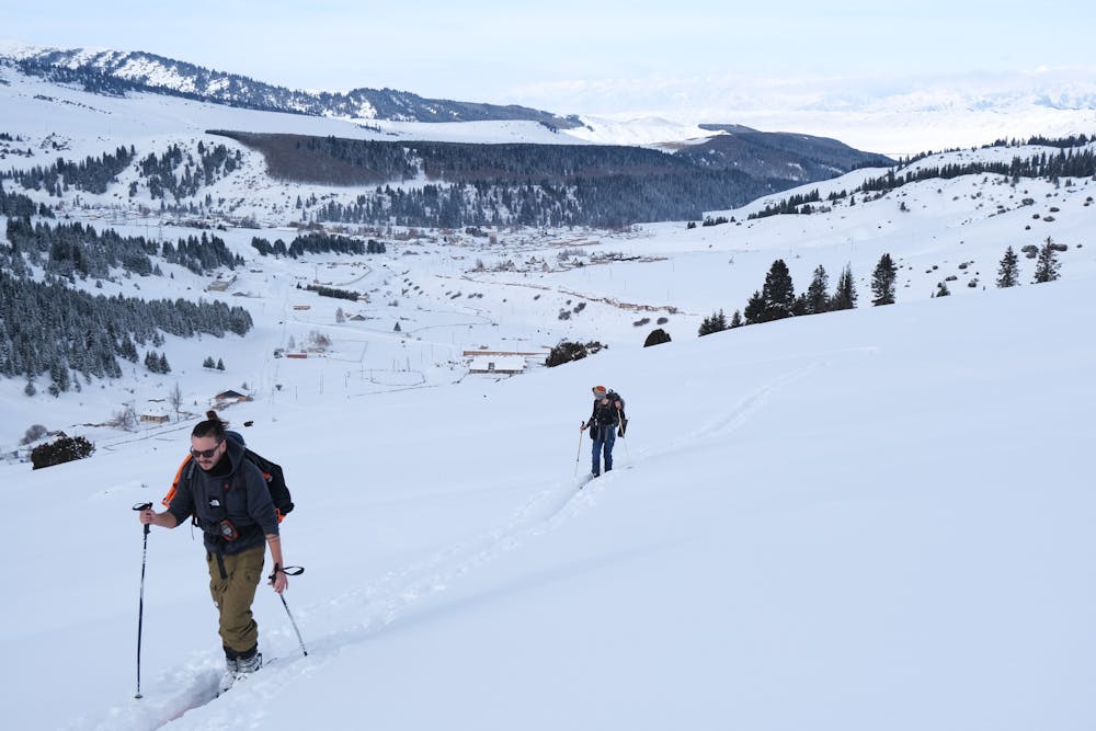
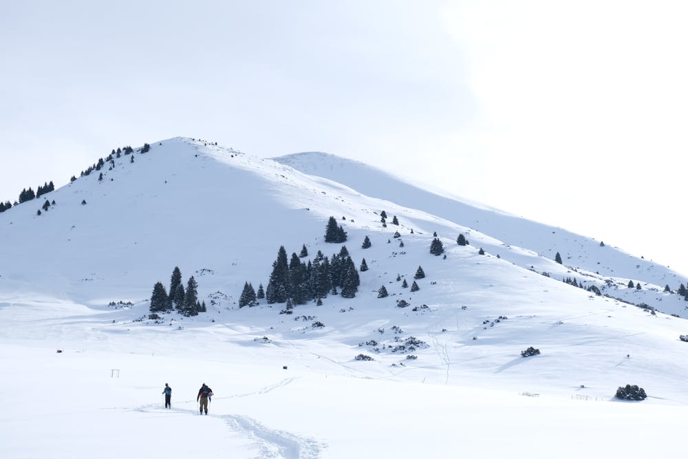
This is a popular ski touring route which is generally considered to be easy. It's not remote, it features low exposure (e1) and is typically done between December and March. From a low point of 2.3 km to the maximum altitude of 3 km, the route covers 8.6 km, 761 vertical metres of ascent and 726 vertical metres of descent. You'll need skins to complete it safely.
- •
- •
- •
- •
- •
Description
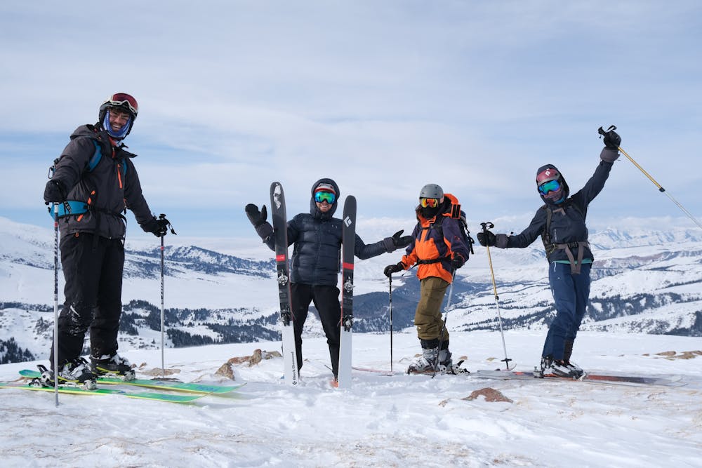
Nice and easy to go up, a track leading to the top almost all year round. All orientation possibilities to go down.
Difficulty
Easy
Wide gentle slopes at around 20 degrees or less.
Low Exposure (E1)

Exposure is limited to that of the slope itself. Getting hurt is still likely if the slope is steep and/or the snow is hard.
Remoteness
Close to help in case of emergency.
Best time to visit
Features
- Face
Equipment required
- Skins