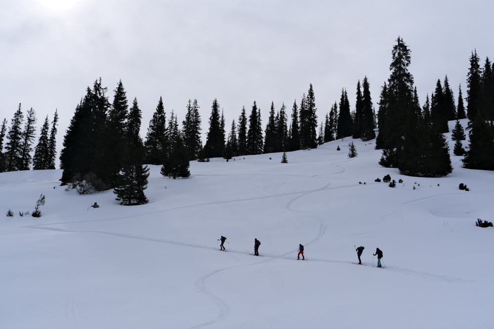
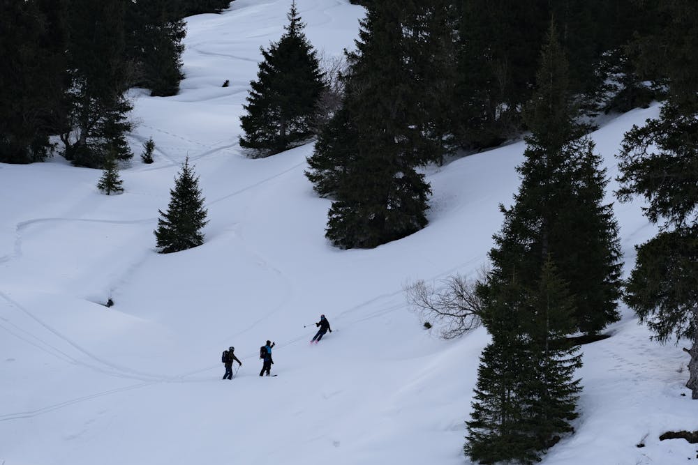
Day of small runs in the Northern forest
Perfect spot to do some little runs in the forest
Ski Touring Moderate
- Distance
- 5.6 km
- Ascent
- 656 m
- Descent
- 475 m
- Duration
- 3-4 hrs
- Low Point
- 2.3 km
- High Point
- 2.7 km
- Gradient
- 32˚

This is a popular ski touring route which is generally considered to be moderate. It's not remote, it features medium exposure (e2) and is typically done between December and April. From a low point of 2.3 km to the maximum altitude of 2.7 km, the route covers 5.6 km, 656 vertical metres of ascent and 475 vertical metres of descent. It's graded 3.1 and Labande grade 1. You'll need skins to complete it safely.
- •
- •
- •
Description
Perfect spot to do some little runs in the forest, always good powder there with a perfect inclination!
Difficulty
Moderate
Slopes become slightly steeper at around 25-30 degrees.
Medium Exposure (E2)

As well as the slope itself, there are some obstacles (such as rock outcrops) which could aggravate injury.
Remoteness

Close to help in case of emergency.
Best time to visit
Features
- Tree Skiing
Equipment required
- Skins