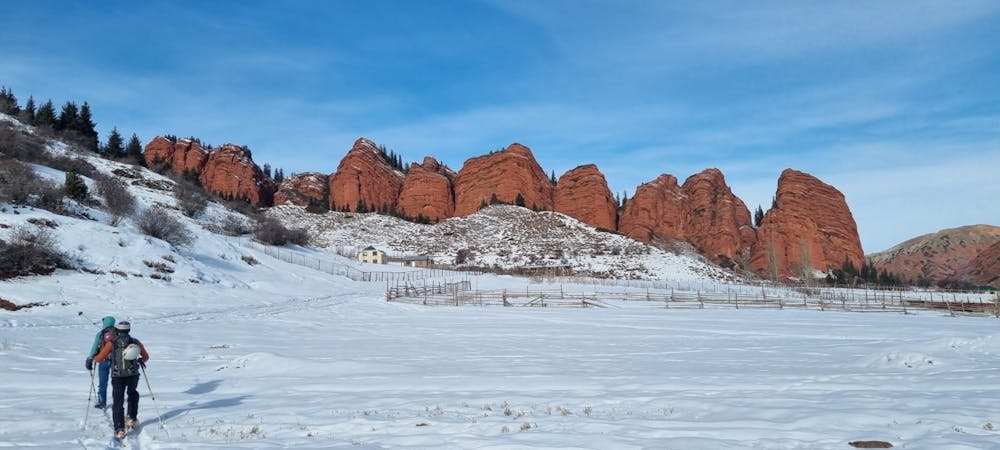
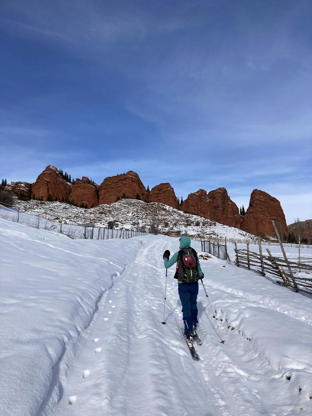
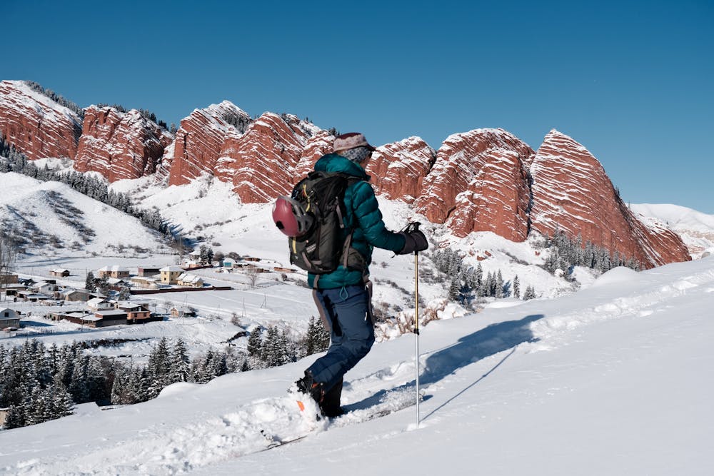
Jety Oguz loop
Nice loop into the canyons around Jety Oguz.
Ski Touring Moderate
- Distance
- 9.4 km
- Ascent
- 462 m
- Descent
- 528 m
- Duration
- 3-4 hrs
- Low Point
- 2 km
- High Point
- 2.5 km
- Gradient
- 23˚

This is a popular ski touring route which is generally considered to be moderate. It's remote, it features medium exposure (e2) and is typically done between December and February. From a low point of 2 km to the maximum altitude of 2.5 km, the route covers 9.4 km, 462 vertical metres of ascent and 528 vertical metres of descent. You'll need skins to complete it safely.
- •
- •
- •
Description
Nice loop into the canyons around Jety Oguz. The last stretch is quite flat but very beautiful Int je canyon. We ended up crossing the frozen river then hitch hiking up to the city. Roxyandtommyontheroad
Difficulty
Moderate
Slopes become slightly steeper at around 25-30 degrees.
Medium Exposure (E2)

As well as the slope itself, there are some obstacles (such as rock outcrops) which could aggravate injury.
Remoteness
Away from help but easily accessed.
Best time to visit
Features
- Ski Safari
Equipment required
- Skins