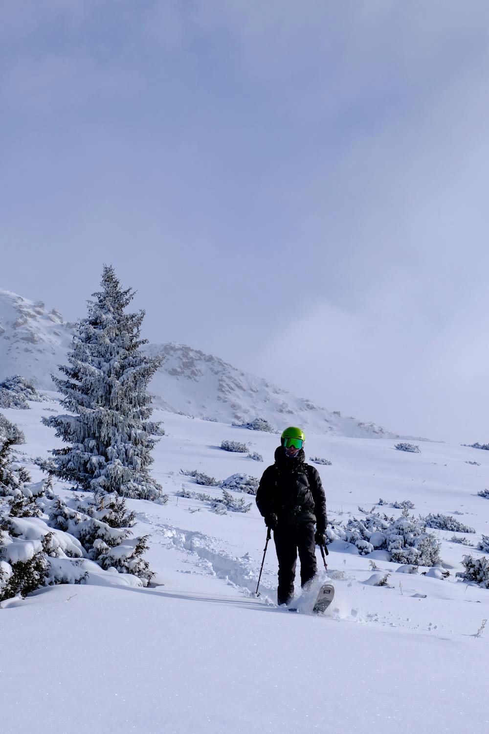
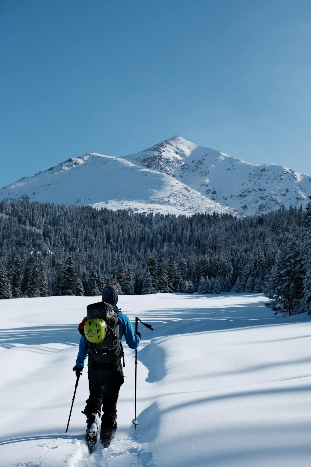
Jety Oguz Peak foot
Tried to summit the Jety Oguz peak.
Ski Touring Easy
- Distance
- 17 km
- Ascent
- 840 m
- Descent
- 842 m
- Duration
- 6-7 hrs
- Low Point
- 2 km
- High Point
- 2.8 km
- Gradient
- 11˚

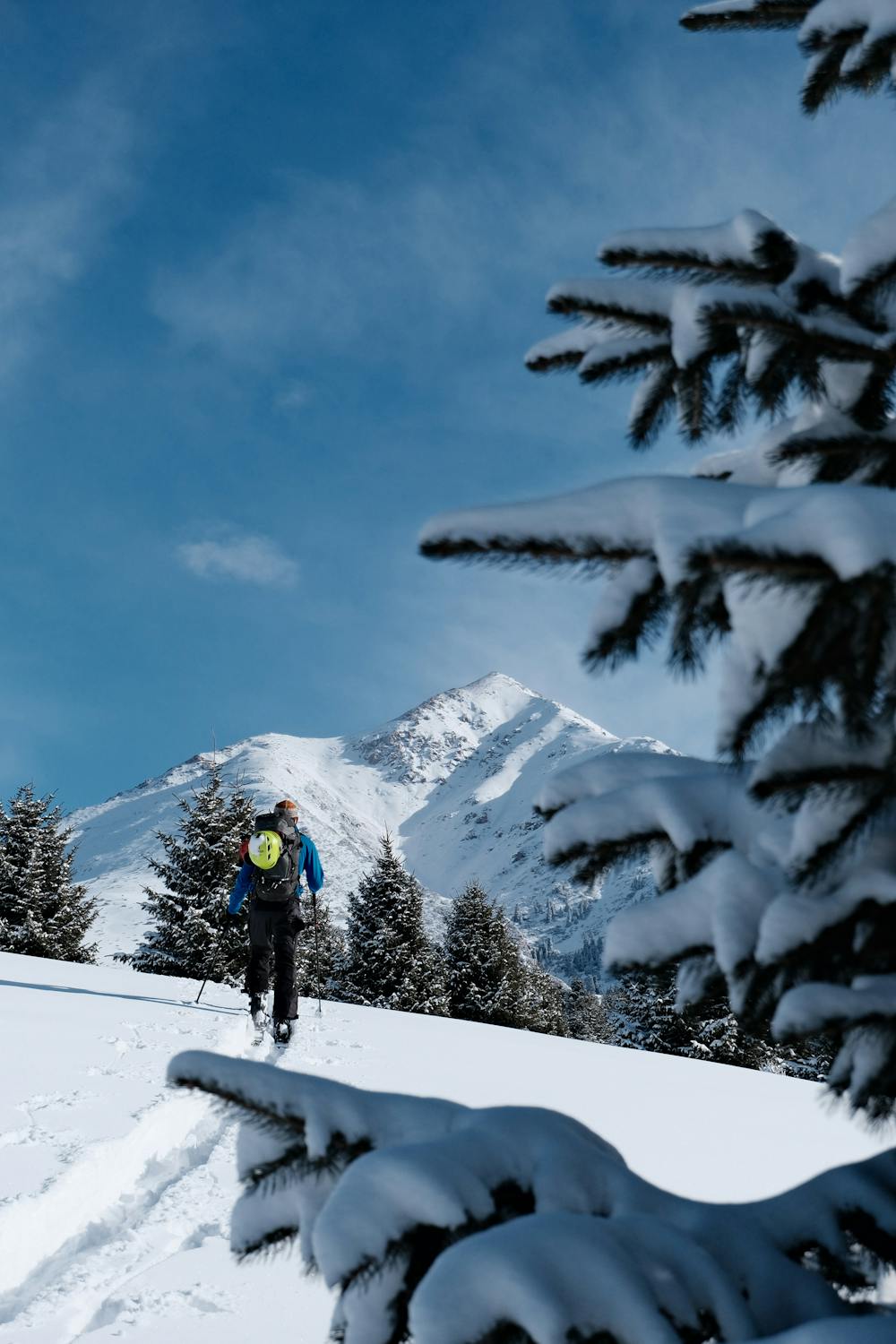
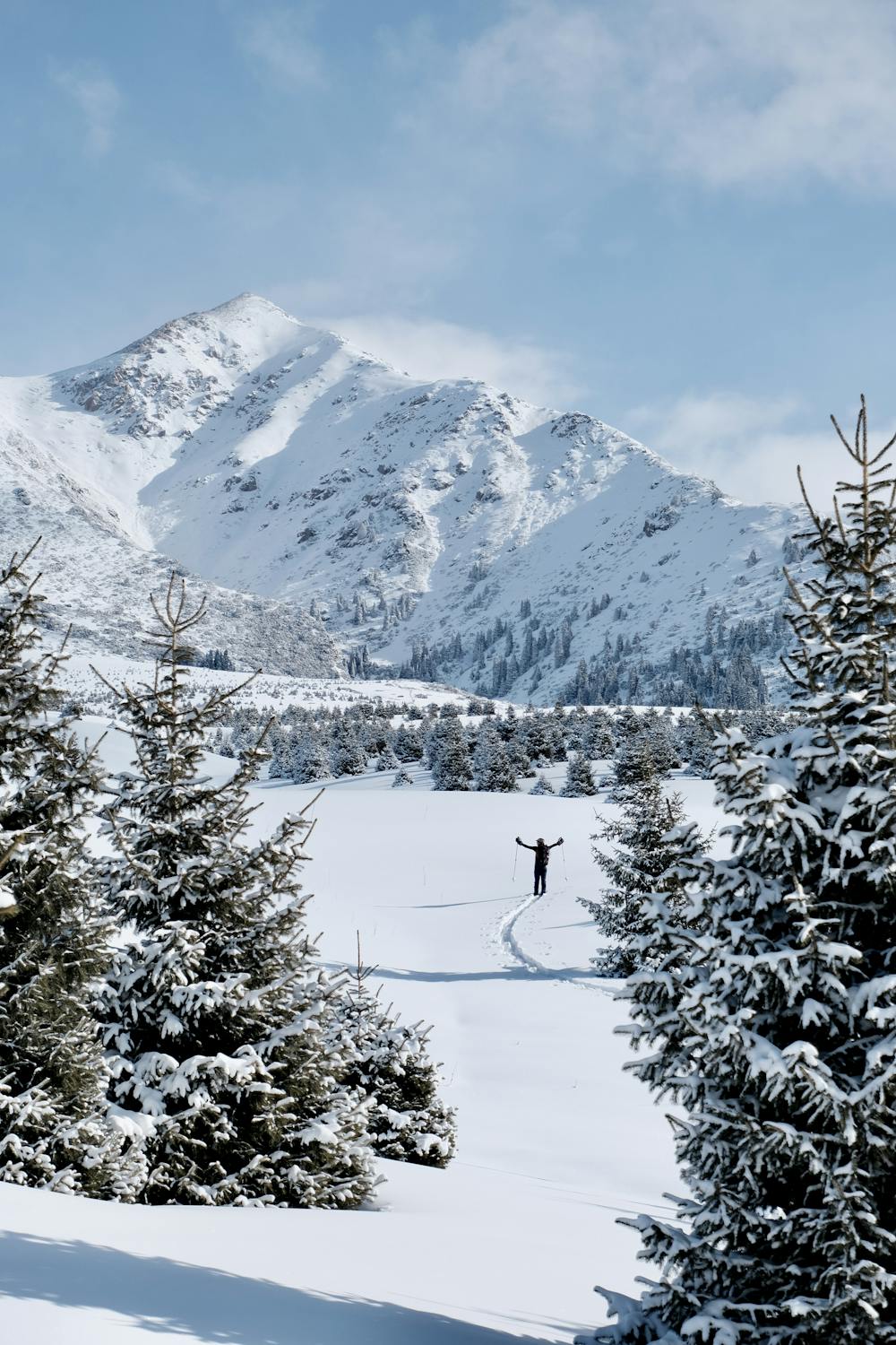
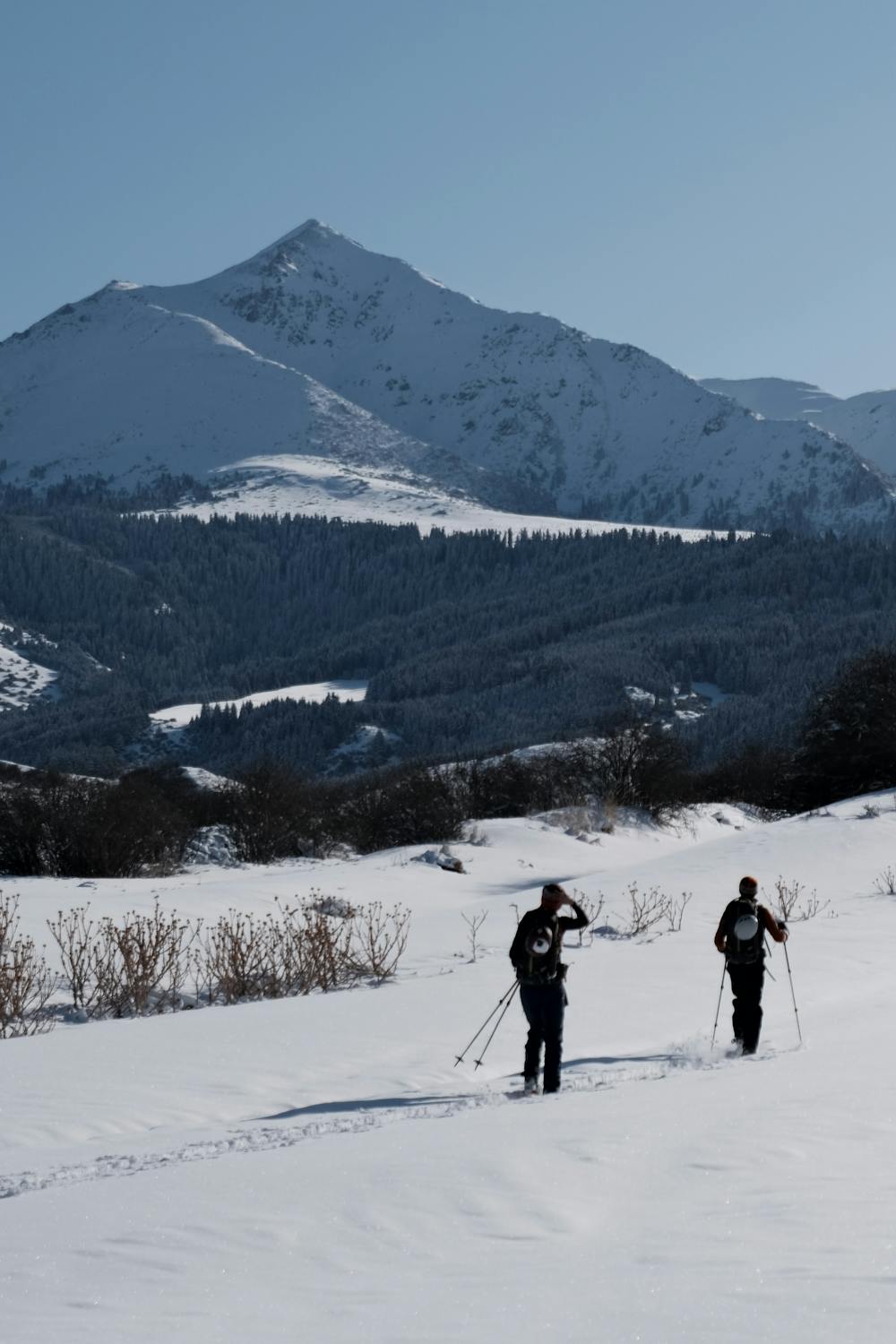
This is a popular ski touring route which is generally considered to be easy. It's remote, it features low exposure (e1) and is typically done between December and March. From a low point of 2 km to the maximum altitude of 2.8 km, the route covers 17 km, 840 vertical metres of ascent and 842 vertical metres of descent. You'll need skins to complete it safely.
- •
- •
- •
- •
- •
- •
Description
Tried to summit the Jety Oguz peak. But it is actually quite far and the snow was too deep. At the end we reached only the foot of the mountain and the slope was not steep enough to enjoy the snow. Not really worth it or maybe first part with horses ?Roxyandtommyontheroad
Difficulty
Easy
Wide gentle slopes at around 20 degrees or less.
Low Exposure (E1)

Exposure is limited to that of the slope itself. Getting hurt is still likely if the slope is steep and/or the snow is hard.
Remoteness

Away from help but easily accessed.
Best time to visit
Features
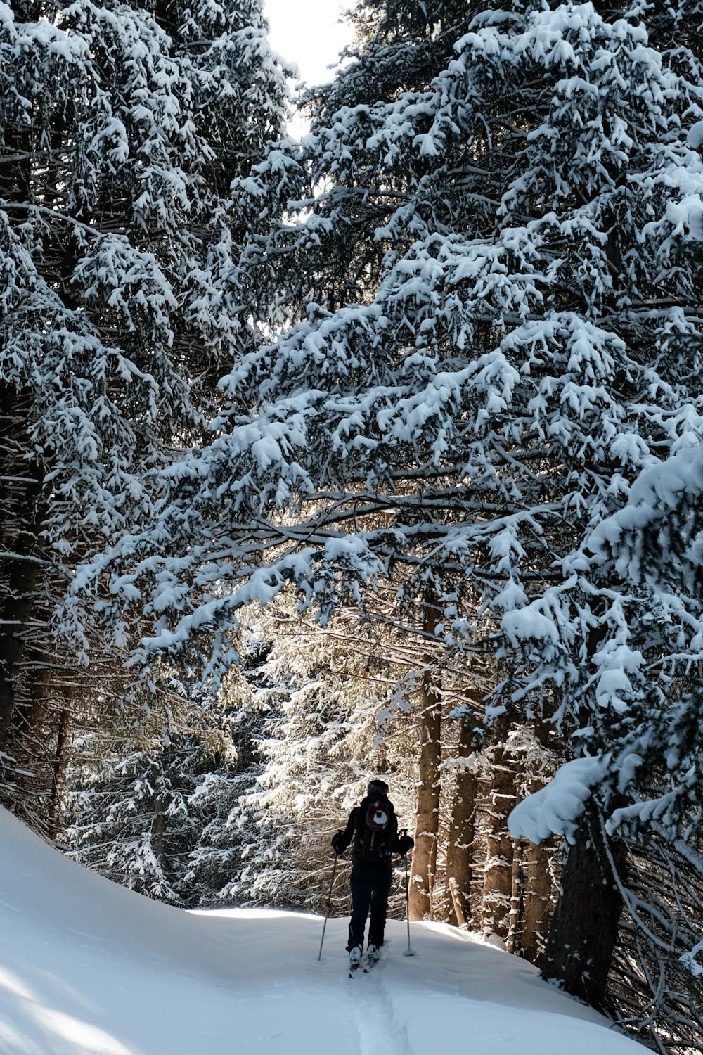
- Ski Safari
- Tree Skiing
Equipment required
- Skins