Jyrgalan Mega Lost Valley Tour
Perfect for a looong sunny day.
Ski Touring Difficult
- Distance
- 19 km
- Ascent
- 1.6 km
- Descent
- 1.6 km
- Duration
- 1 day +
- Low Point
- 2.3 km
- High Point
- 3.1 km
- Gradient
- 24˚

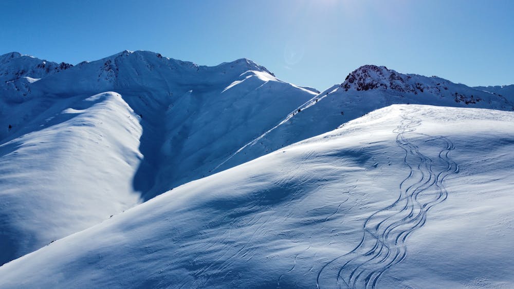
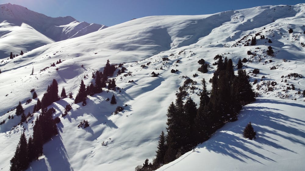
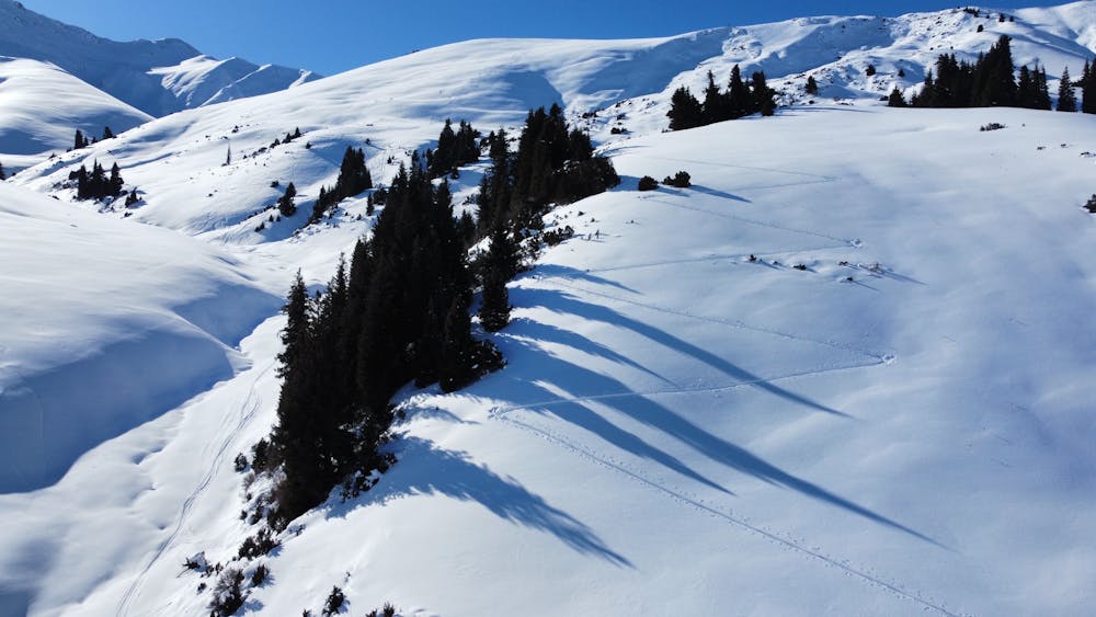
This is a popular ski touring route which is generally considered to be difficult. It's remote, it features medium exposure (e2) and is typically done between December and March. From a low point of 2.3 km to the maximum altitude of 3.1 km, the route covers 19 km, 1636 vertical metres of ascent and 1636 vertical metres of descent. You'll need skins to complete it safely.
- •
- •
- •
Description
Perfect for a looong sunny day. Check out all the east routes of Jyrgalan ski tour in one day out. All orientation and steepness. Very good snow in winter. You have to like putting and removing the skins. Roxyandtommyontheroad
Difficulty
Difficult
Serious gradient of 30-38 degrees where a real risk of slipping exists.
Medium Exposure (E2)

As well as the slope itself, there are some obstacles (such as rock outcrops) which could aggravate injury.
Remoteness
Away from help but easily accessed.
Best time to visit
Features
- Face
- Ski Safari
- Tree Skiing
Equipment required
- Skins